


Galerie de photos de la planète Terre
PIA09697: Rain Floods Central Texas
|
PIA00076: Earth - full disk view of Africa
|
Terre_10.jpg
|
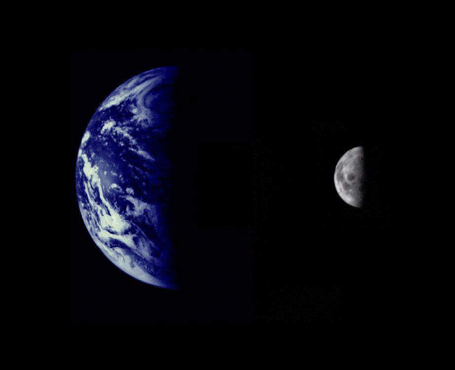
PIA02441: Earth and Moon as viewed by Mariner 10
|
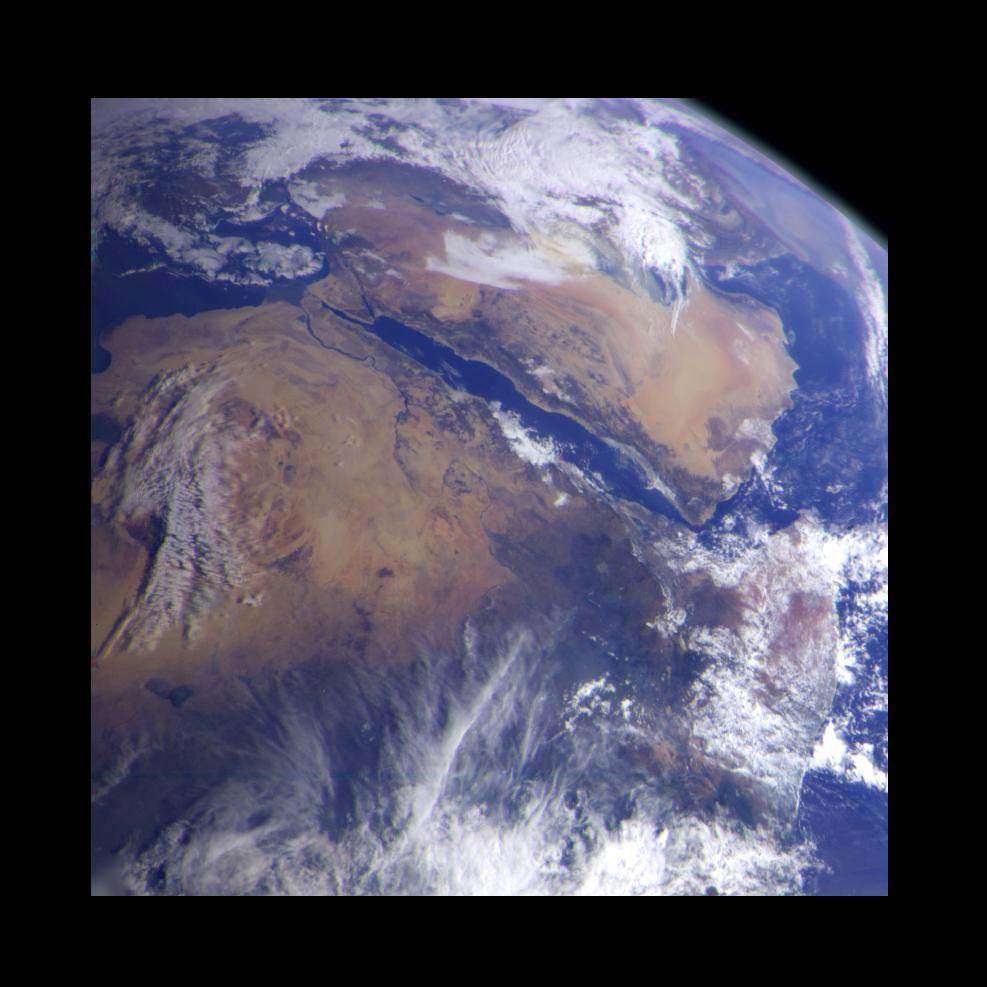
PIA00127: Earth - Northeast Africa and the Arabian Peninsula
|
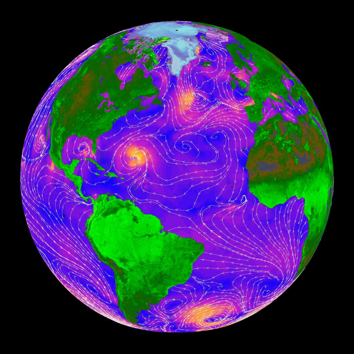
PIA02458: SeaWinds - Oceans, Land, Polar Regions
|
Terre_6.jpg
|

Terre_1.jpg
|
PIA10120: Earth Departure Movie
|
PIA11149: Map of Titan - February 2009
|
Terre_8.jpg
|
Terre_11.jpg
|
Terre_16.jpg
|
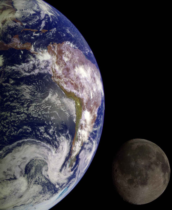
PIA00114: Earth - South America (first frame of Earth Spin Movie)
|
Page 2 de 2
- Précédente
- 1
- 2