


Galerie de photos de la planète Terre
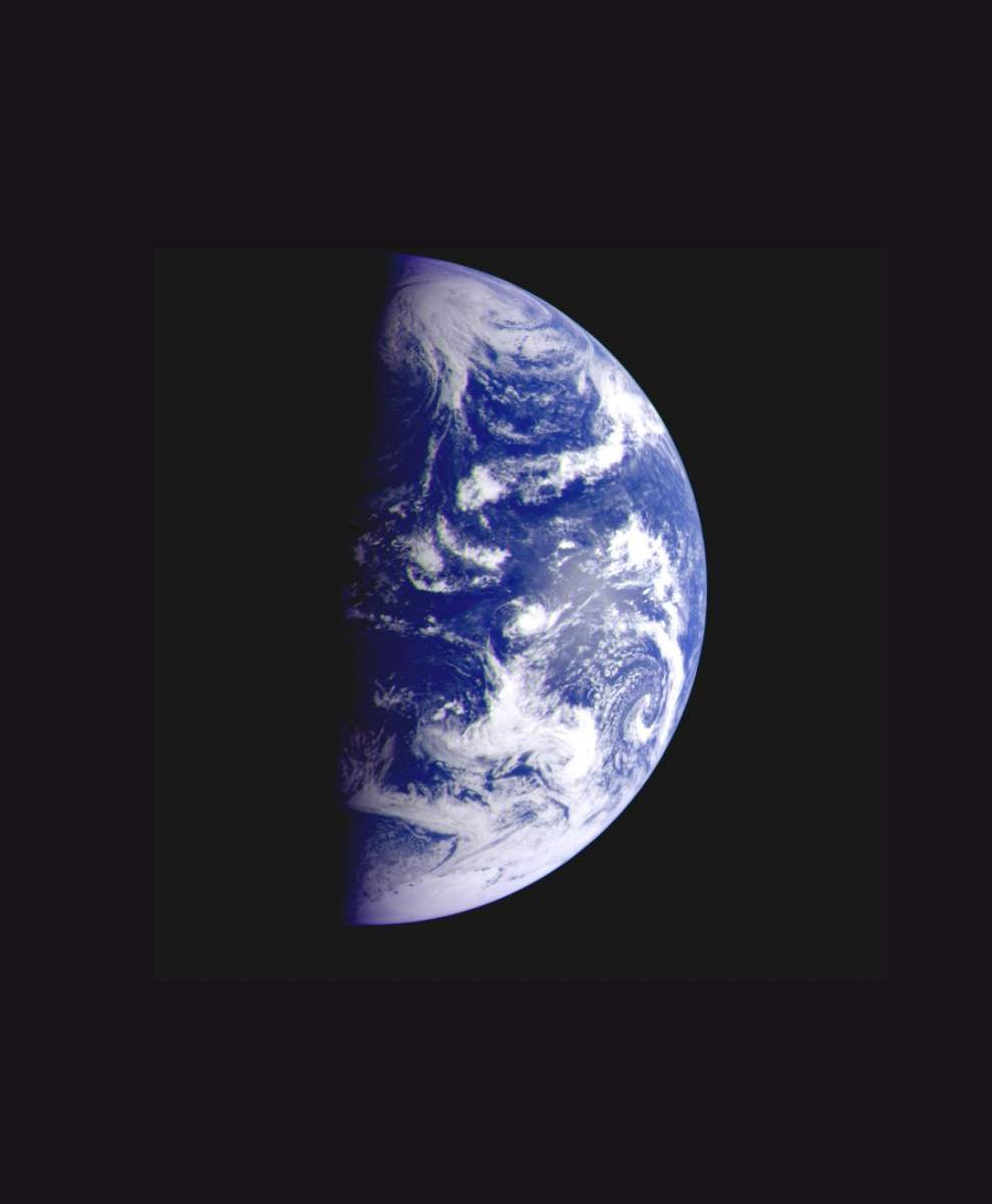
PIA00232: Earth - Departing Image by Galileo
|
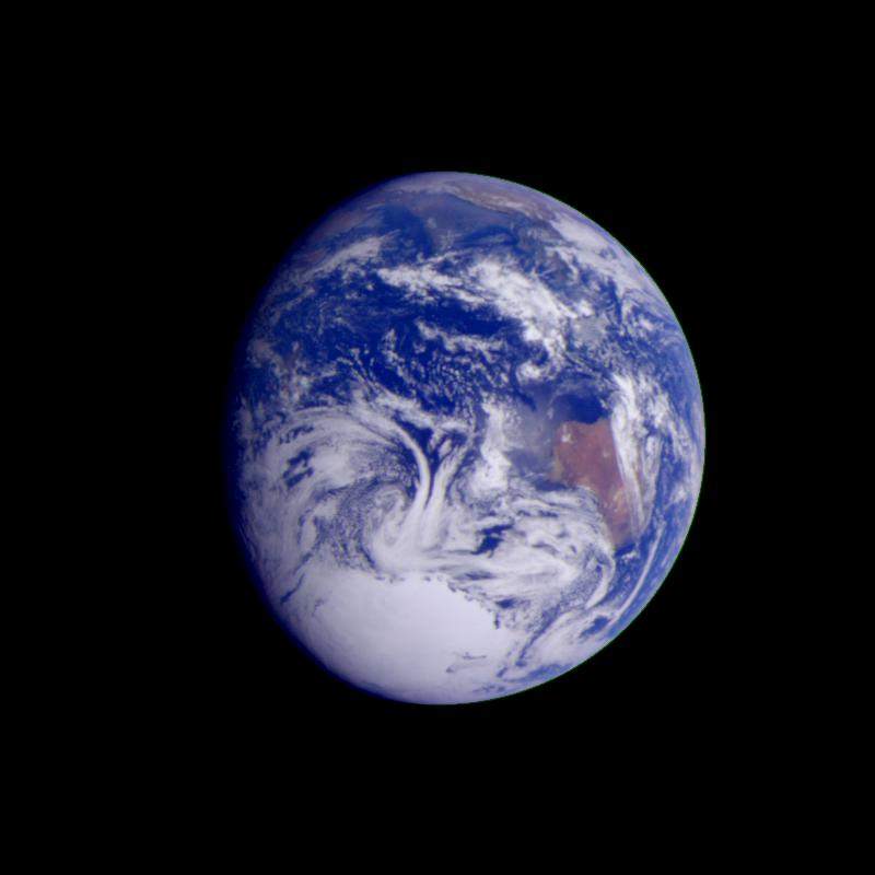
PIA00122: Earth - India and Australia
|

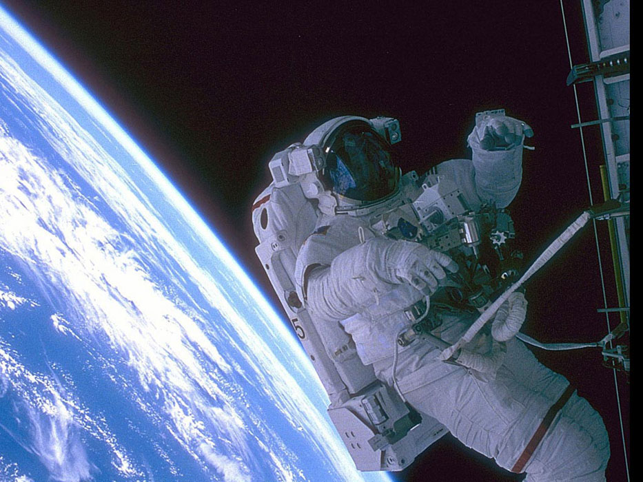
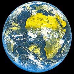
Terre_15.jpg
|

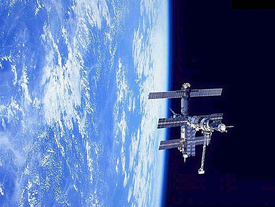
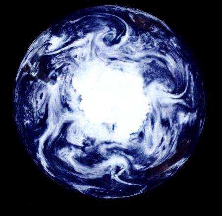
Terre_12.jpg
|
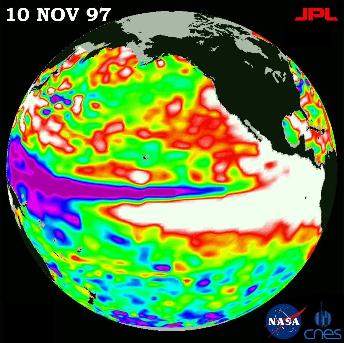
PIA01085: TOPEX/El Niño Watch - Warm Water Pool is Increasing, Nov. 10, 1997
|

PIA00728: Global Images of Earth
|
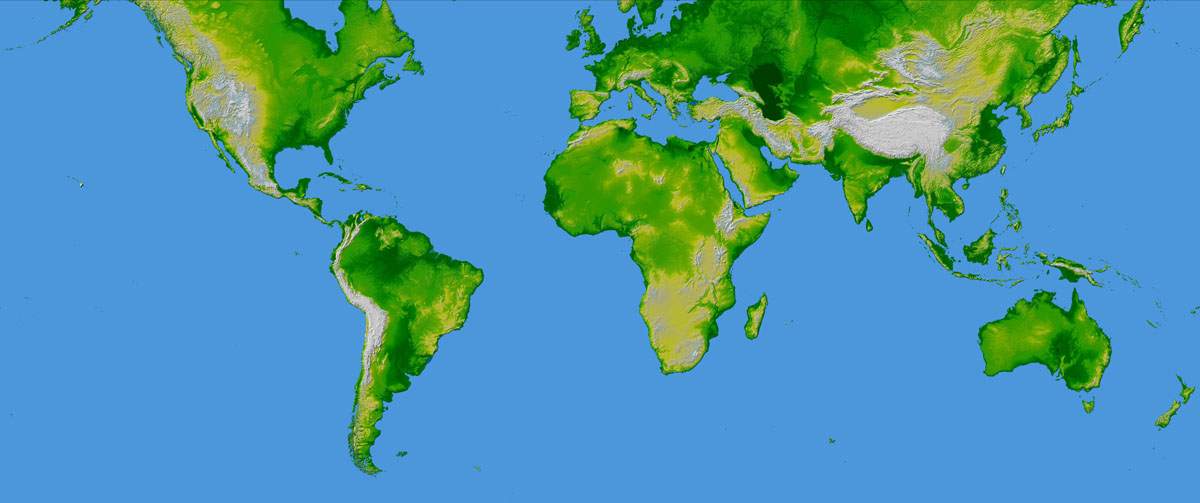
PIA03395: World in Mercator Projection, Shaded Relief and Colored Height
|

Terre_2.jpg
|
Terre_5.jpg
|
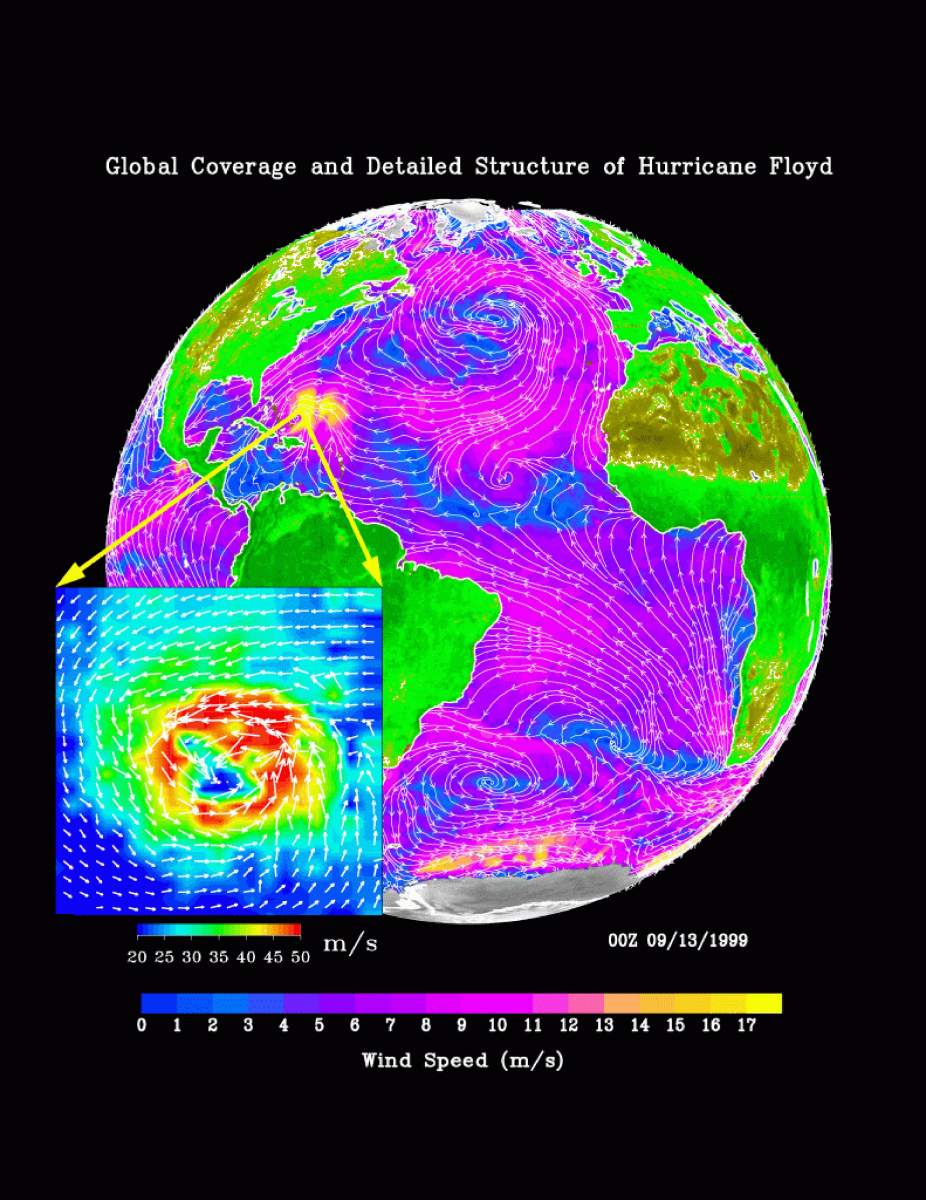
PIA02455: SeaWinds Global Coverage with Detail of Hurricane Floyd
|
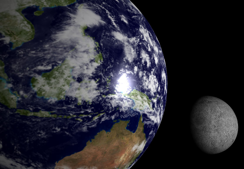
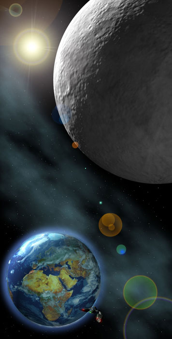
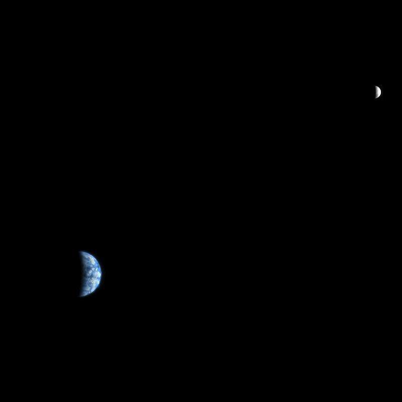
PIA00134: Earth - Moon Conjunction
|

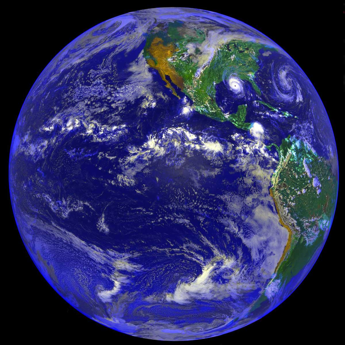
Synthese_Terre.jpg
|

PIA04531: Earth and Moon as viewed from Mars
|
Terre_13.jpg
|
Terre_14.jpg
|

PIA00123: Earth - Pacific Ocean
|

PIA10122: Twins Image
|
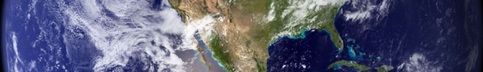
PIA01462: The Americas and Hurricane Andrew
|

PIA03393: France, Shaded Relief and Colored Height
|
Terre_4.jpg
|

PIA03394: World Globes, Shaded Relief and Colored Height
|
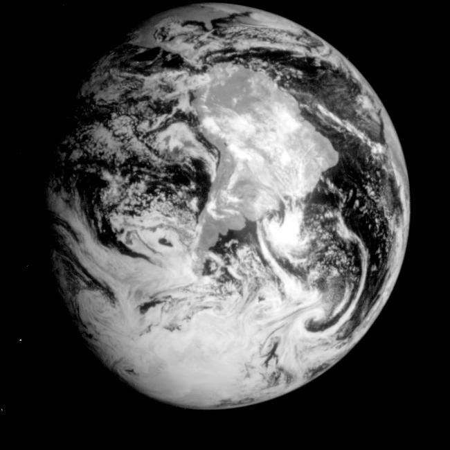
Terre_3.jpg
|
PIA00729: South Polar Projection of Earth
|
PIA00226: Global View of Earth in the Near-Infrared
|
PIA11148: Tiny Moonlet Within G Ring Arc
|
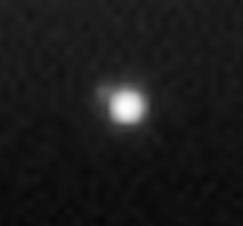
PIA08323: Pale Blue Orb
|
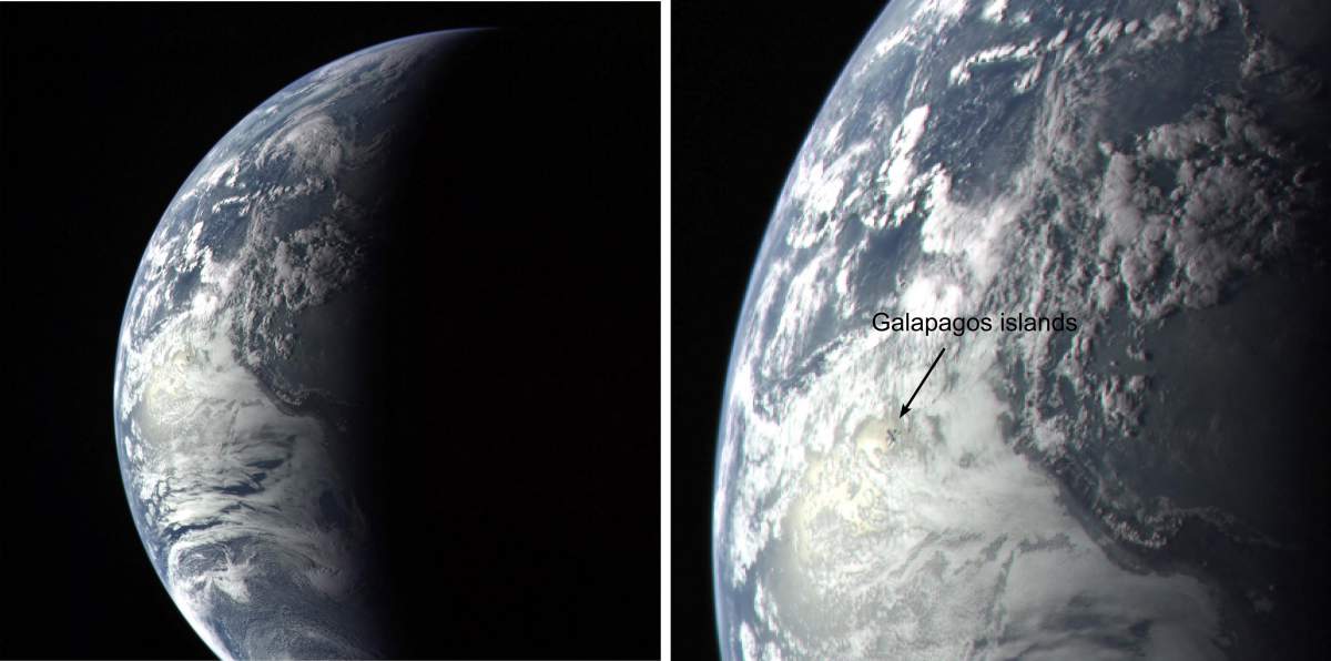
PIA10121: Galapagos Islands Image
|
PIA10244: Earth and Moon as Seen from Mars
|

Terre_7.jpg
|
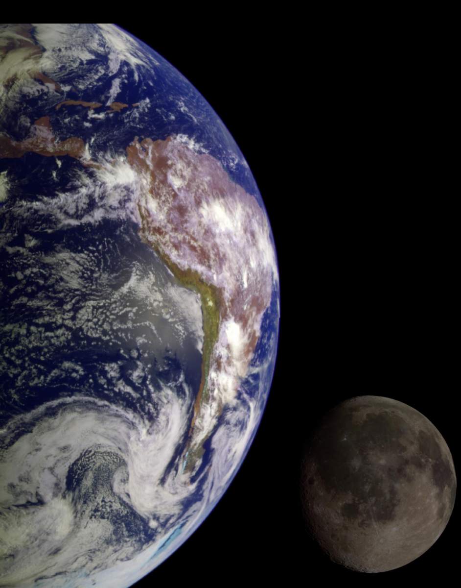
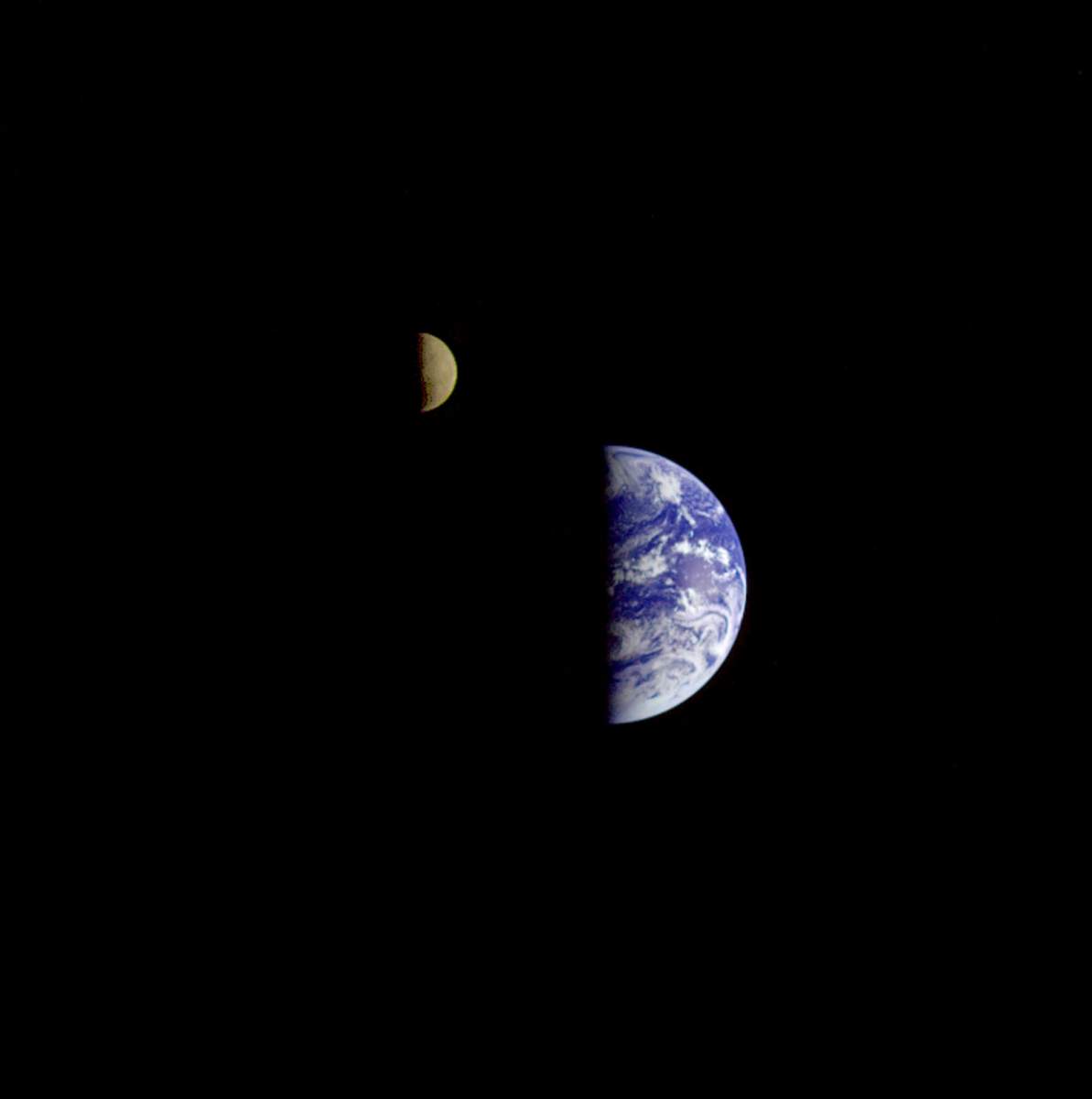
PIA00342: The Earth & Moon
|