

Galerie de photos de Ganymède, satellite galiléen de la planète Jupiter

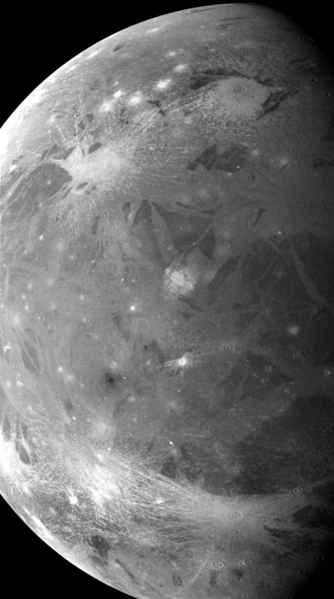
PIA00716: Ganymede Color Global
|

PIA00722: Galileo Resolutions: Ganymede and the San Francisco Bay Area
|

PIA00878: NIMS Observes Melkart Crater on Ganymede
|
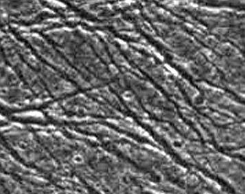
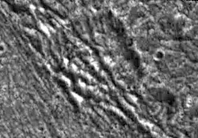
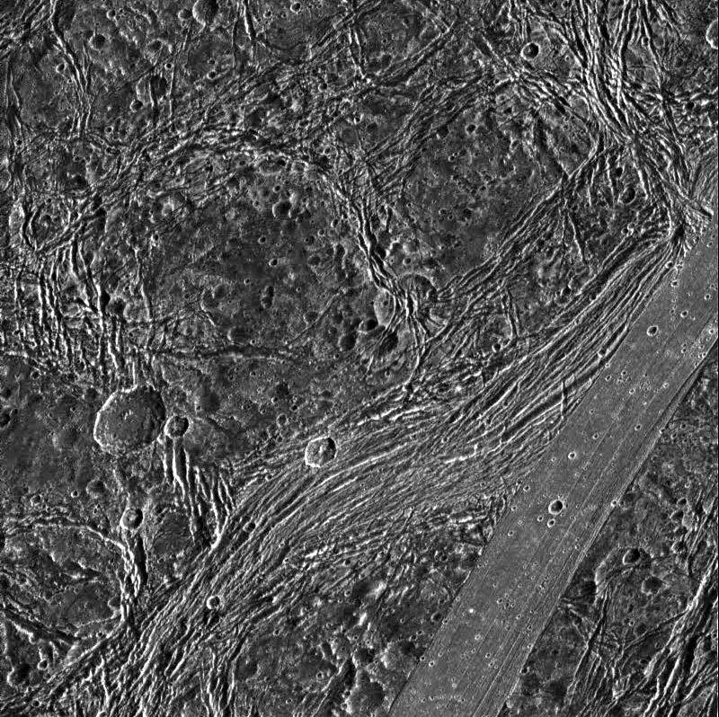
PIA01056: Ganymede Groove Lanes
|

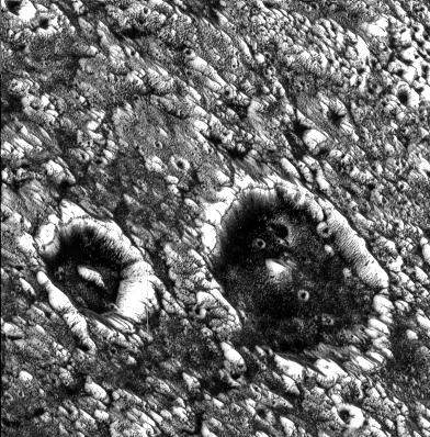
PIA01057: A Polar Crater on Ganymede
|
PIA01058: Bright and Dark Slopes on Ganymede
|

PIA01059: Grooves and Craters on Ganymede
|
PIA01060: Palimpsest secondary craters on Ganymede
|
PIA01061: Secondary Craters on Ganymede
|
PIA01062: Fractures in Transitional Terrain on Ganymede
|
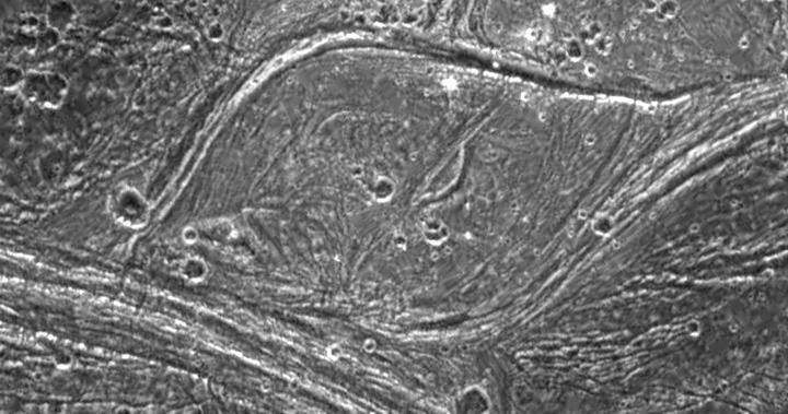
PIA01086: Grooved Terrain in Nippur Sulcus on Ganymede
|
PIA01087: Geological mysteries on Ganymede
|
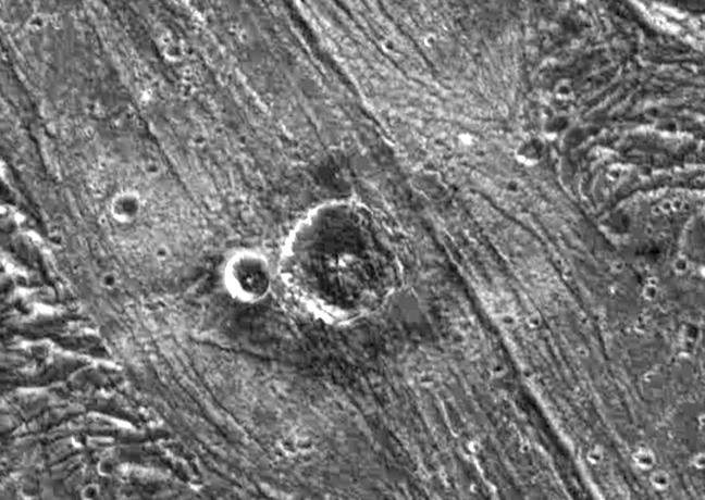
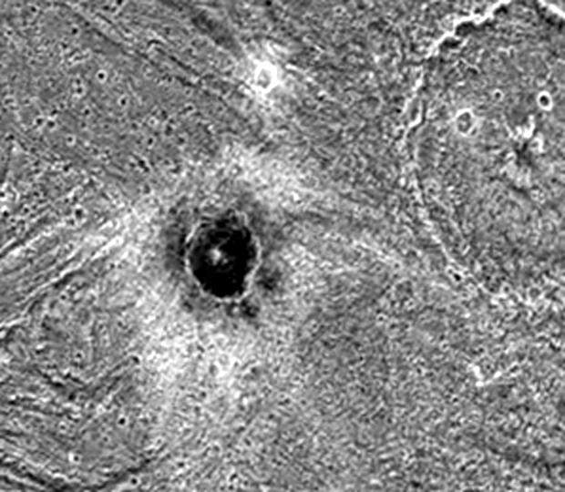
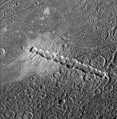
PIA01088: Nergal Crater on Ganymede
|
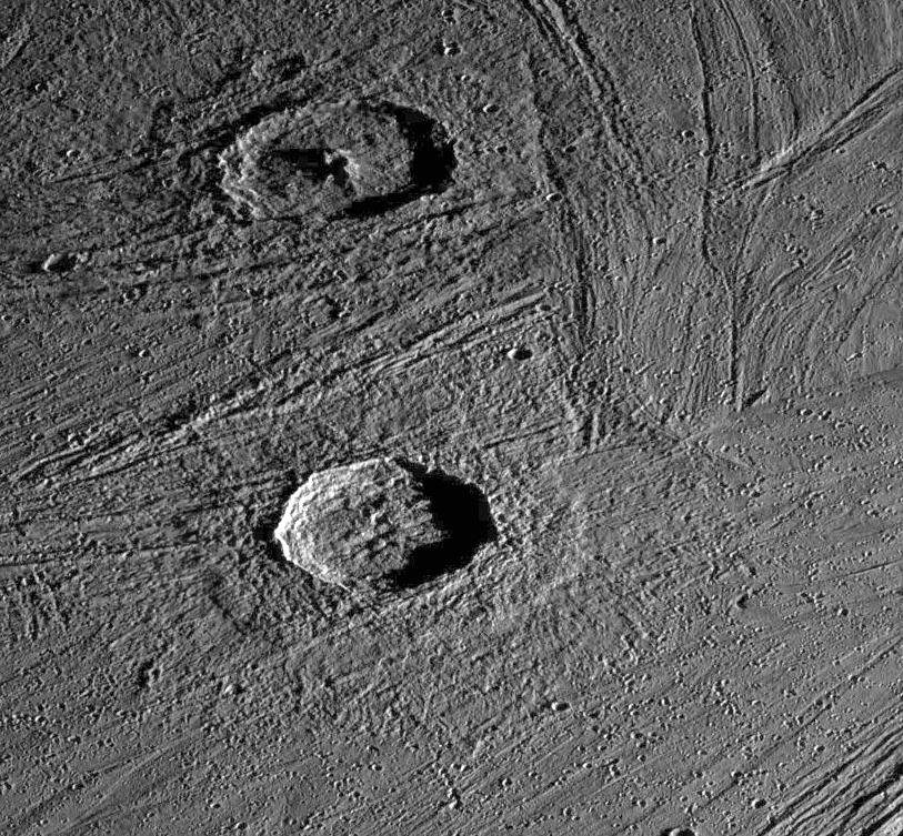
PIA01089: Fractured Craters on Ganymede
|
PIA01090: Khensu Crater on Ganymede
|
PIA01091: Complex Tectonism on Ganymede
|

PIA01515: Bright Ray Craters in Ganymede's Northern Hemisphere
|
PIA01516: Cratering and Grooved Terrain on Ganymede
|
PIA01517: Ganymede's Equatorial Region
|
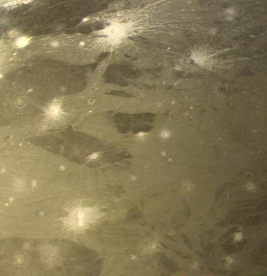
PIA01520: Ganymede's Varied Terrain
|
PIA01606: Completing a Global Map of Ganymede
|
PIA01607: Dark-floored Impact Craters on Ganymede
|

PIA01608: High Latitude "Bright" and "Dark" Terrains on Ganymede
|
PIA01609: Fresh Impact Craters on Ganymede
|
PIA01610: Anatomy of a Torn Comet
|
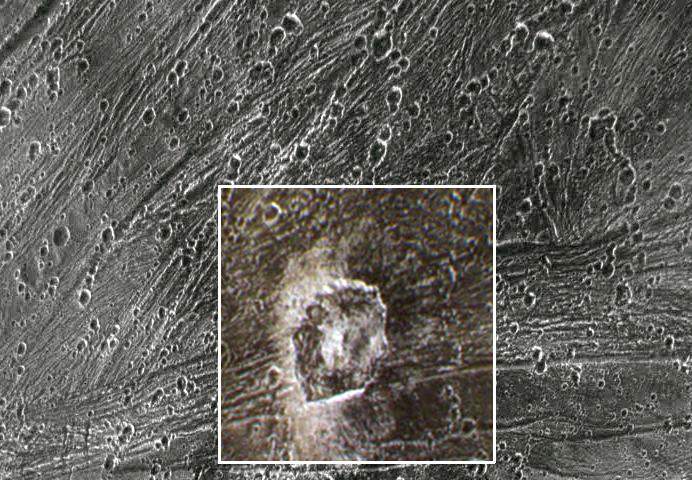
PIA01611: Kittu Dark Ray Crater
|
PIA01612: A Tumultuous Past for Ganymede's Dark Terrain
|
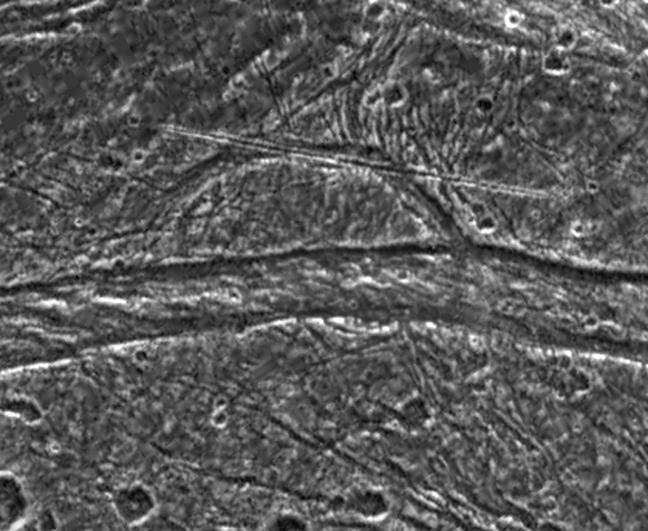
PIA01613: Fractures in Nicholson Regio
|
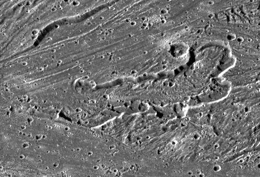
PIA01614: "Calderas" on Ganymede?
|
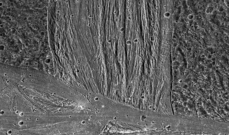
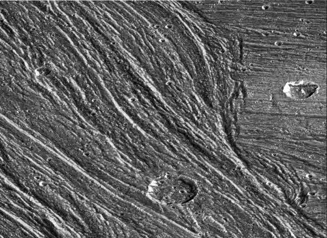
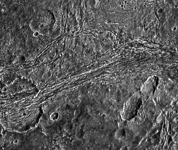
PIA01615: Swaths of Grooved Terrain on Ganymede
|
Page 2 de 4