

Galerie de photos de Ganymède, satellite galiléen de la planète Jupiter
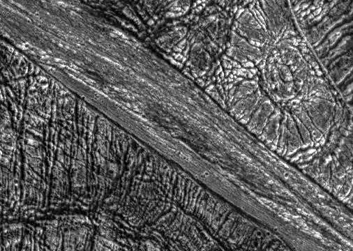
PIA01616: Highly Fractured Dark and Bright Terrain
|

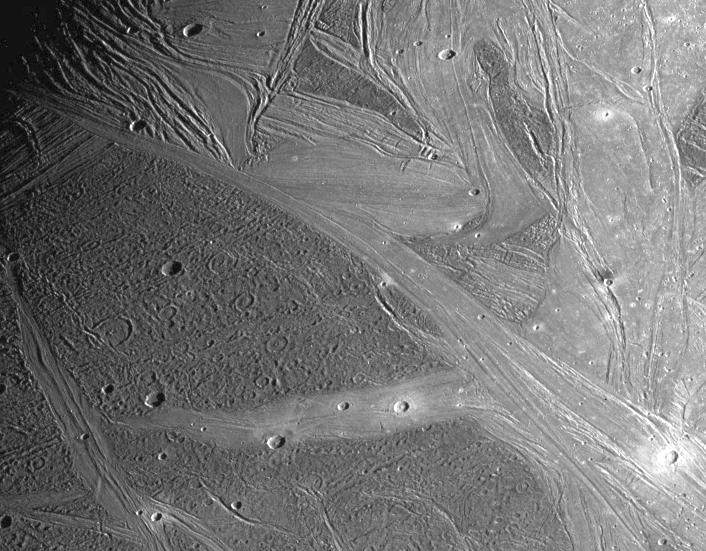
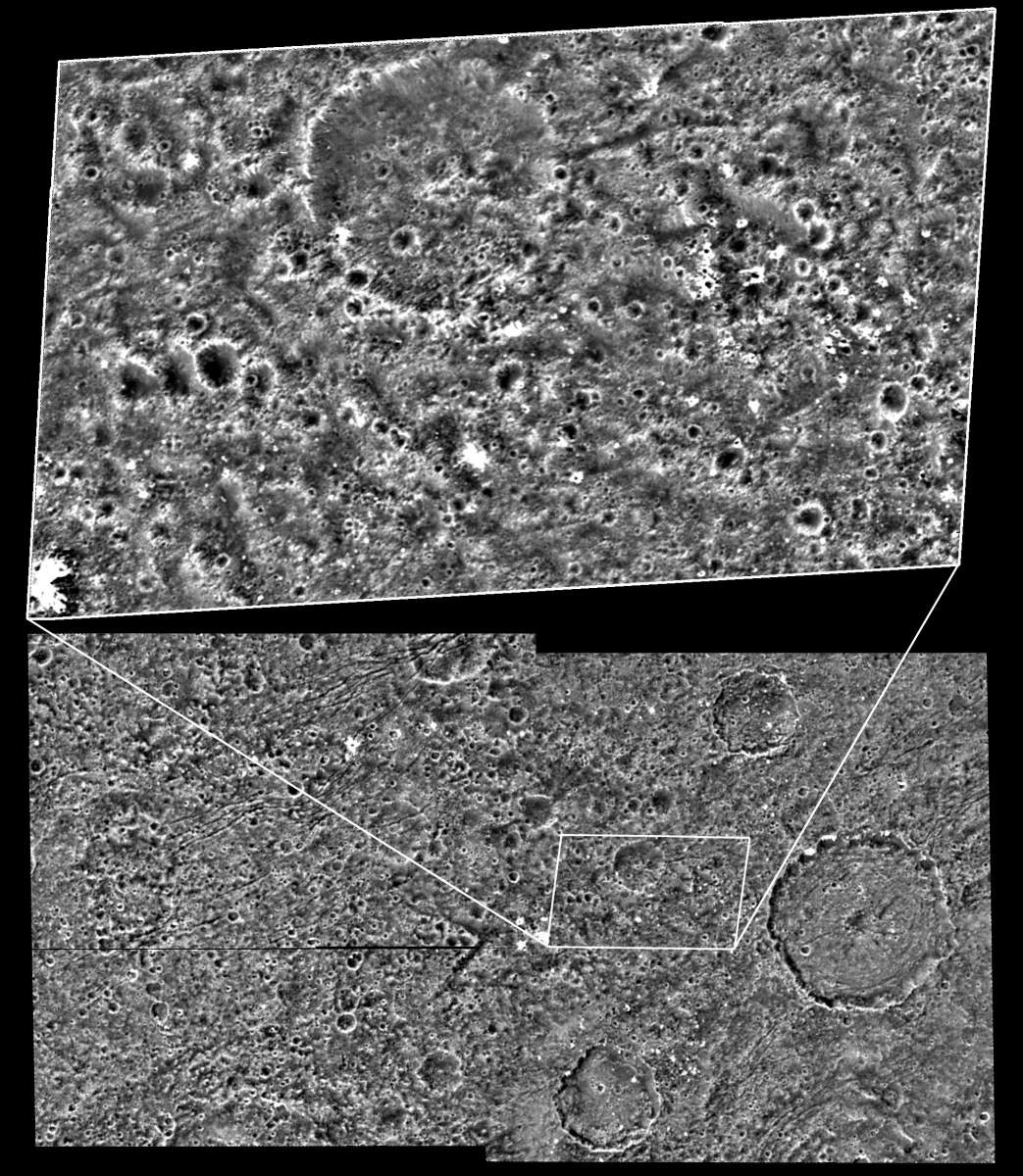
PIA01617: Marius Regio, Ganymede
|
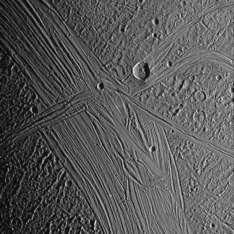
PIA01618: Regional View of Ganymede
|
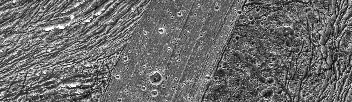
PIA01619: Morning in Tiamat Sulcus
|

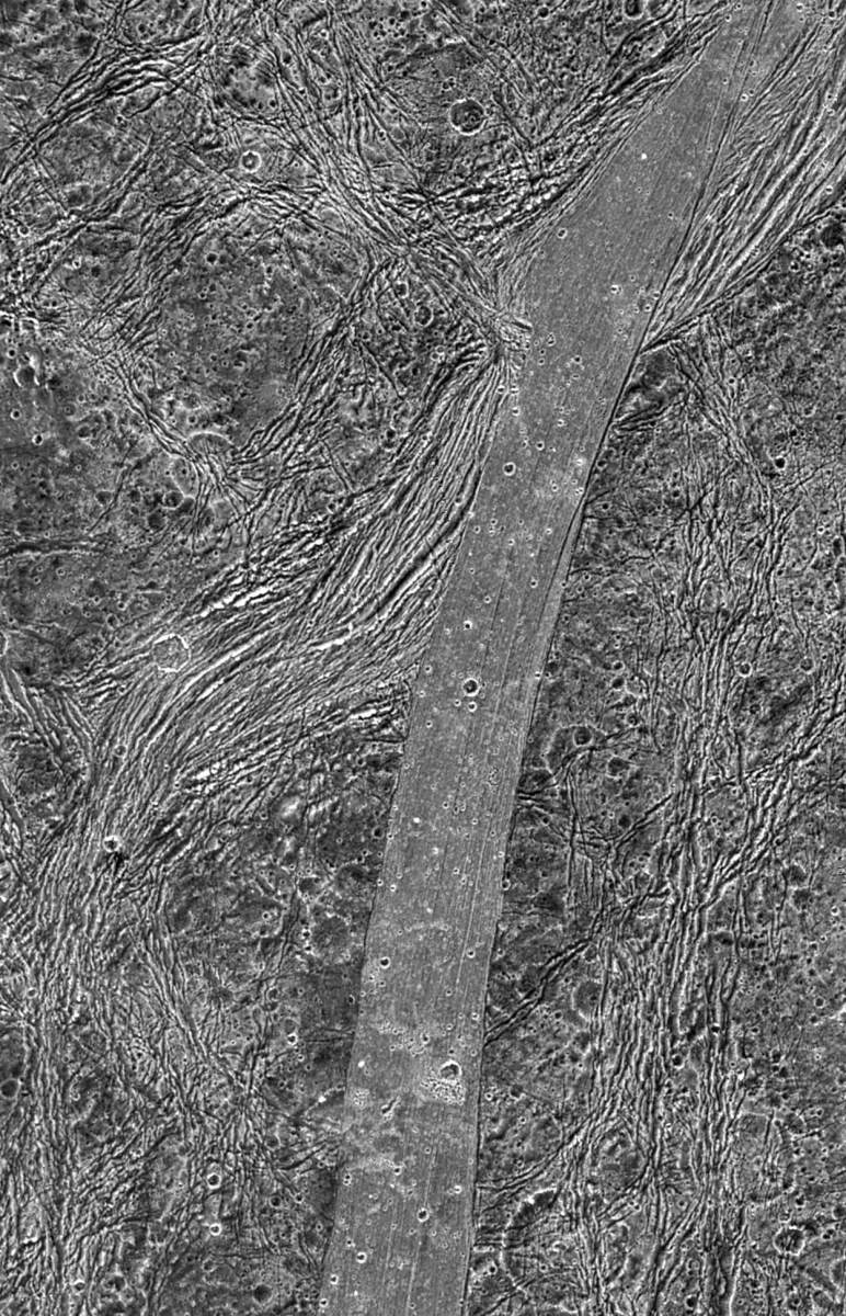
PIA01620: Perspective View of Bright Ridges in Uruk Sulcus
|
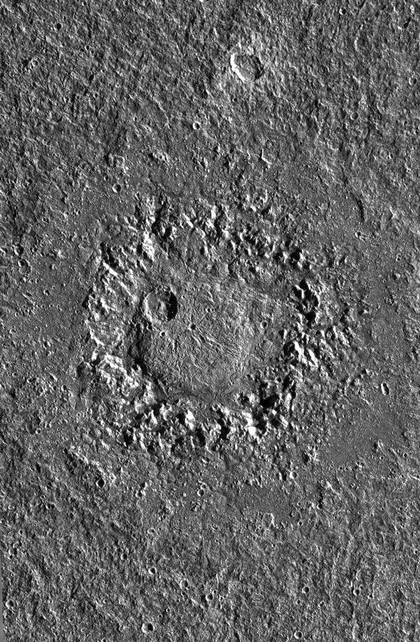
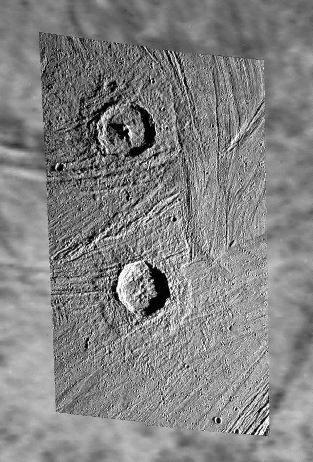
PIA01658: Dome crater Neith on Jupiter's satellite Ganymede
|
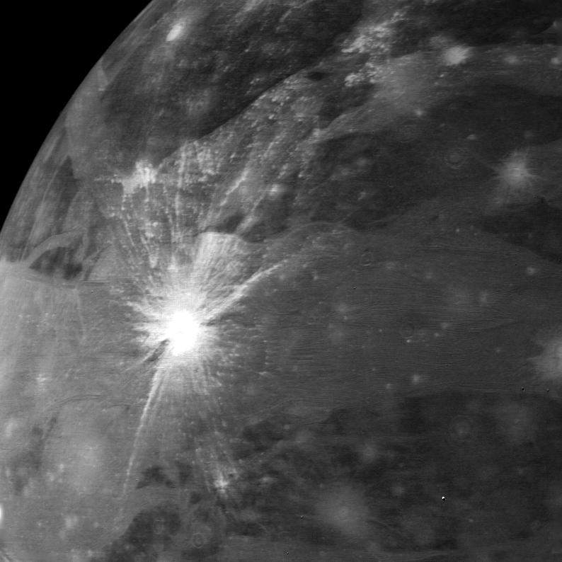
PIA01659: Buto Facula - A palimpsest on Ganymede
|
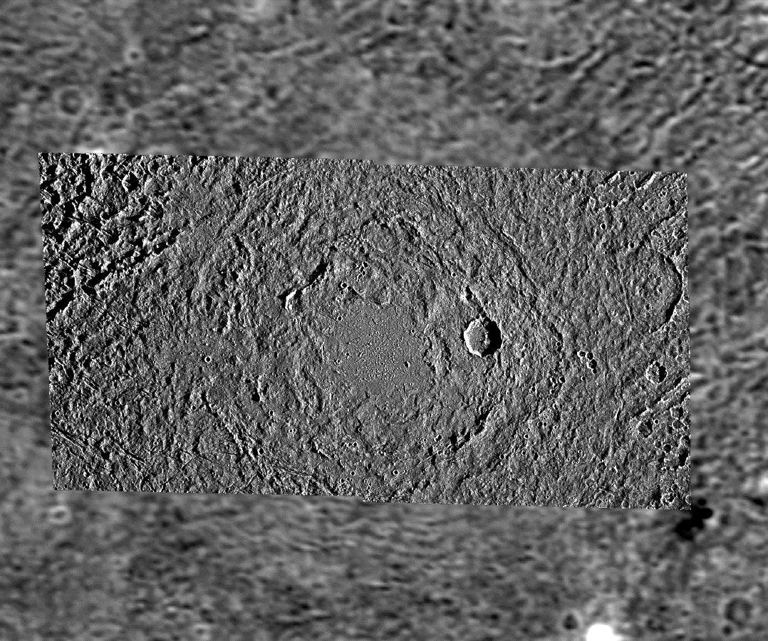
PIA01660: Pedestal craters Gula and Achelous on Ganymede
|
PIA01666: Ganymede's Trailing Hemisphere
|

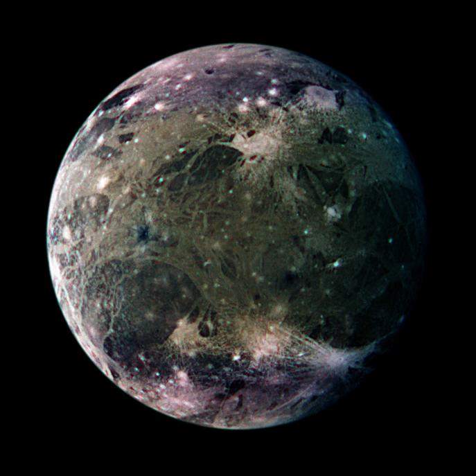
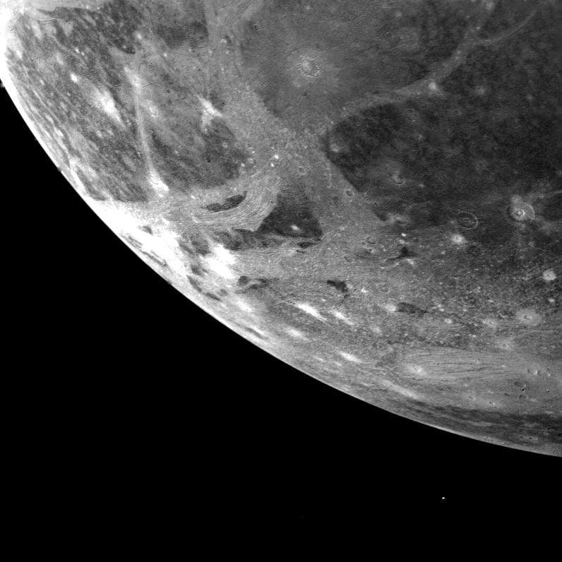
PIA01972: Ganymede
|

PIA02233: Ganymede - high resolution
|
PIA02252: Ganymede
|
PIA02278: Ganymede
|

PIA02279: Ganymede
|
PIA02281: Ganymede - surface
|
PIA02282: Ganymede - close up photos
|
PIA02286: Ganymede varied terrain
|
PIA02571: Ganymede dark terrain at high resolution
|
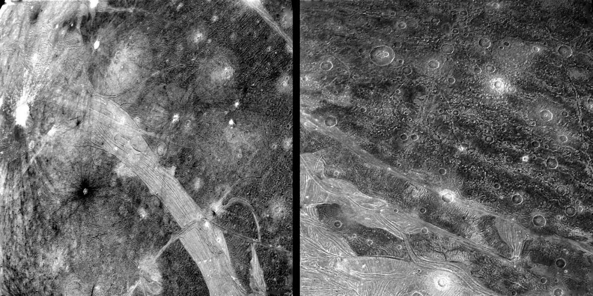
PIA02572: Region of Ganymede with mix of terrains
|
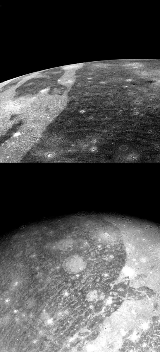
PIA02573: Regional view of bright and dark terrain
|
PIA02574: Ganymede feature resembling Europa
|
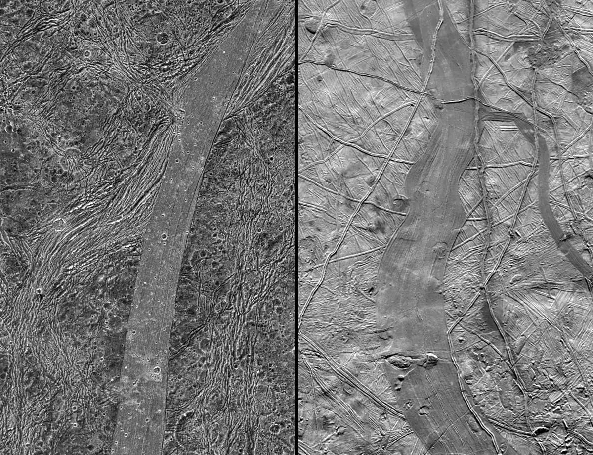
PIA02575: Comparison of Ganymede and Europa features
|
PIA02576: Perspective view of Arbela Sulcus, Ganymede
|
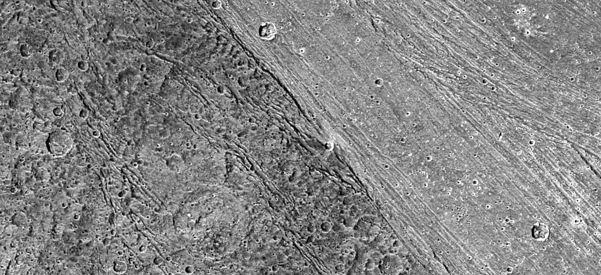
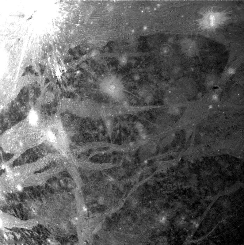
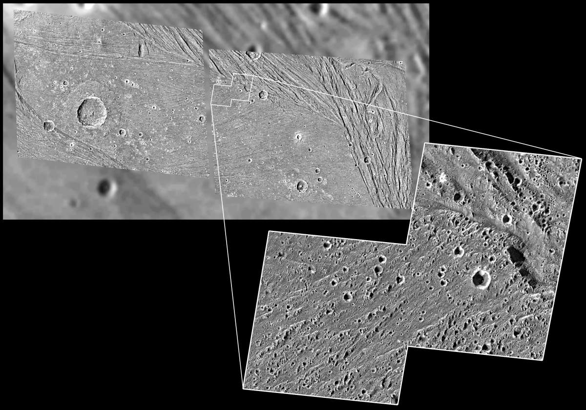
PIA02577: Bright-Dark terrain boundary, Ganymede
|
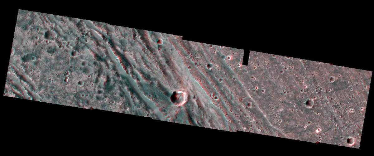
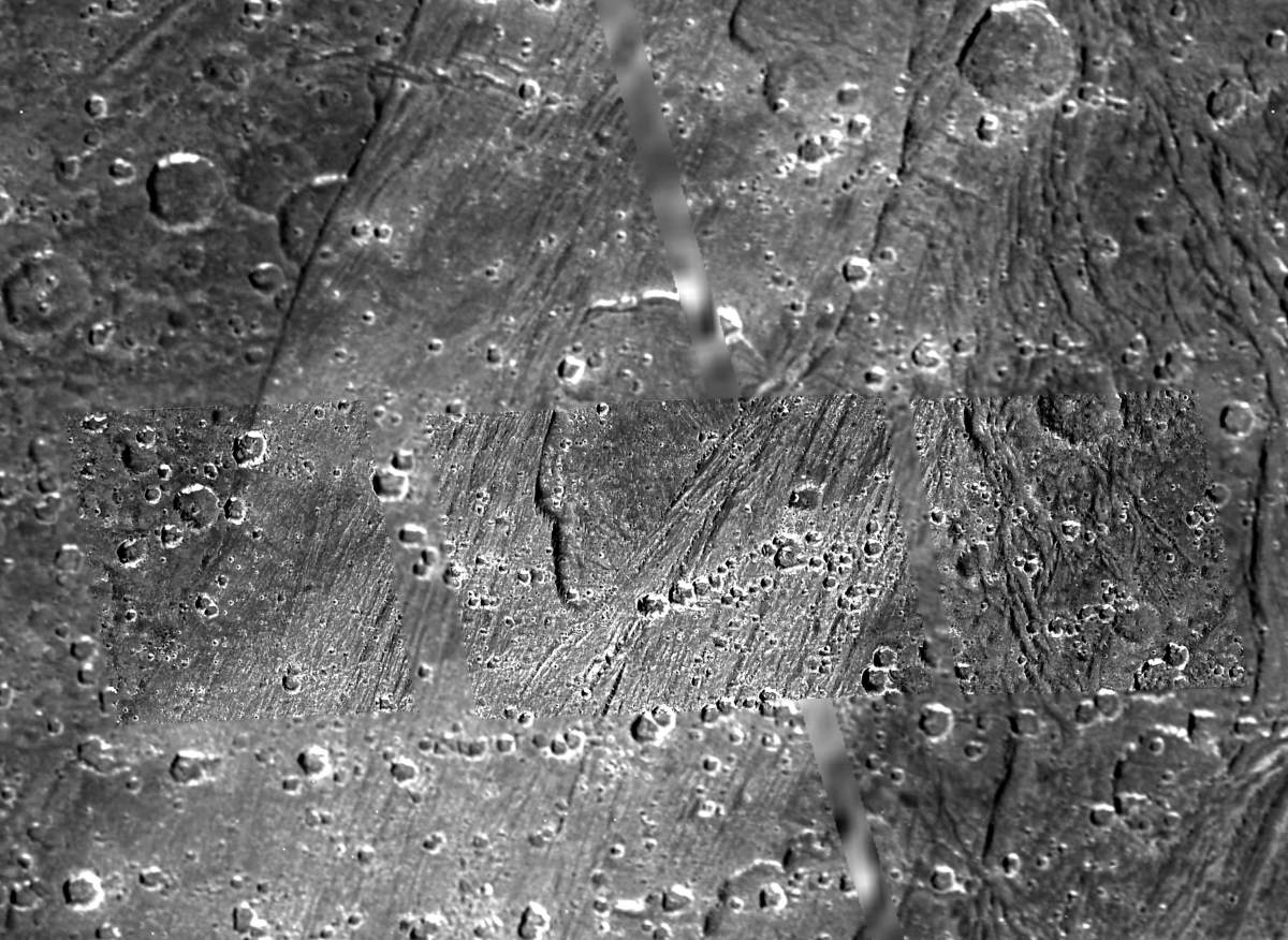
PIA02578: Bright-Dark terrain boundary in stereo
|
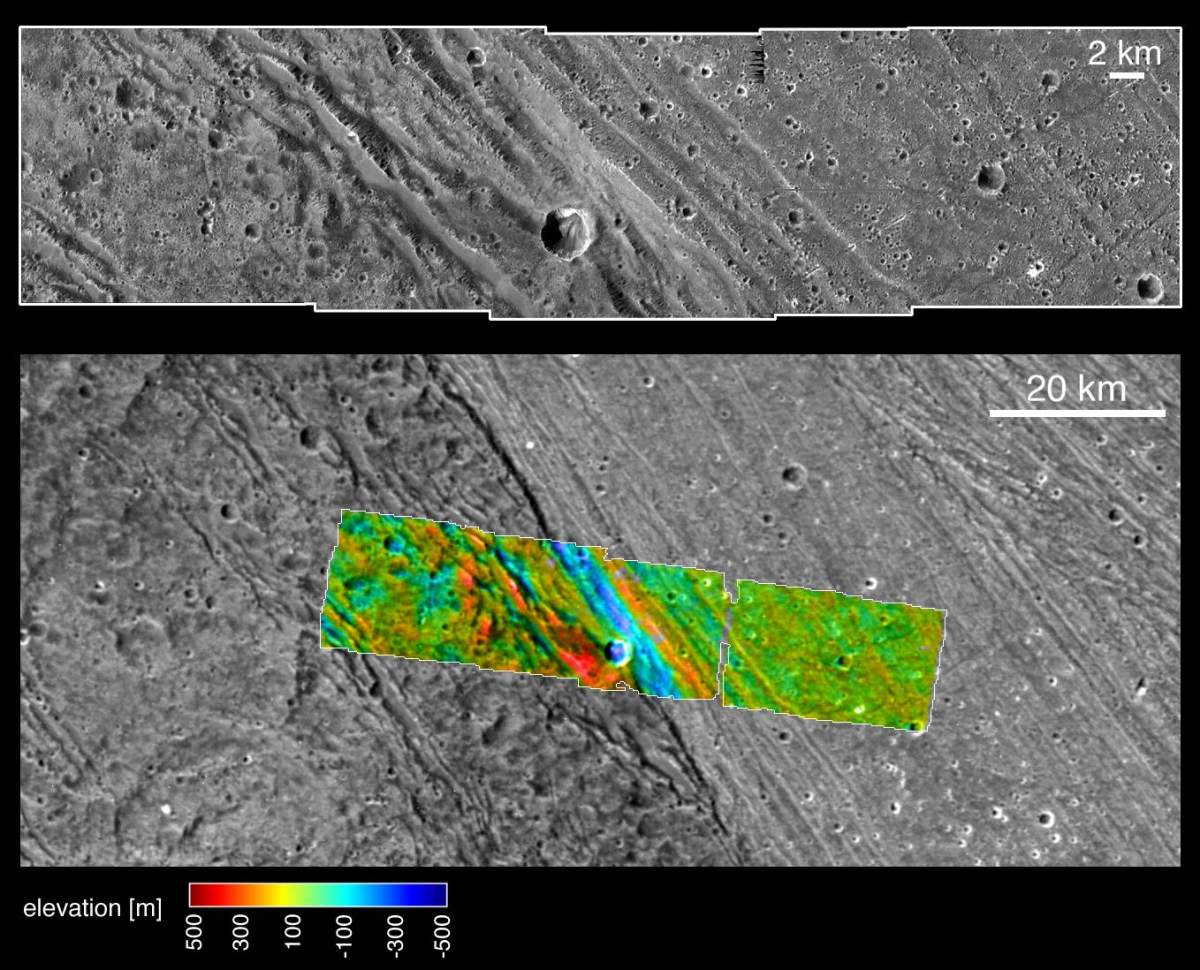
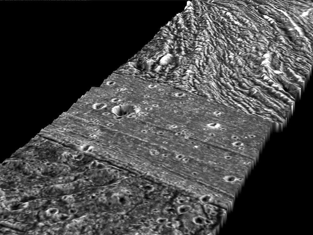
PIA02579: Bright-dark boundary and topographical model
|
PIA02580: Caldera-like depression on Ganymede
|
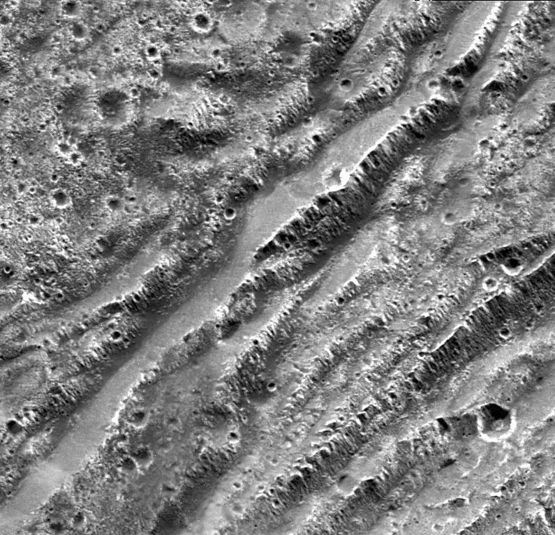
PIA02581: Not-so-smooth bright terrain of Harpagia Sulcus
|
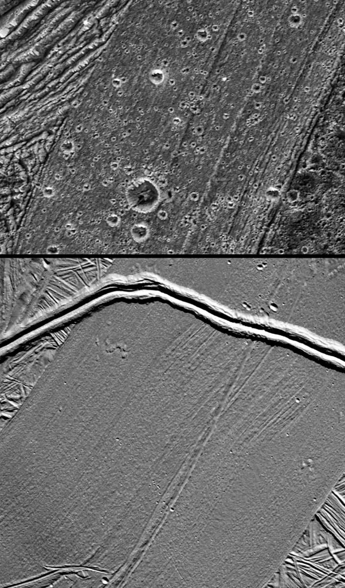
PIA02582: Stair-step scarps in dark terrain on Ganymede
|

PIA02862: Ganymede and Jupiter
|
Page 3 de 4