

Galerie de photos de Callisto, satellite galiléen de la planète Jupiter
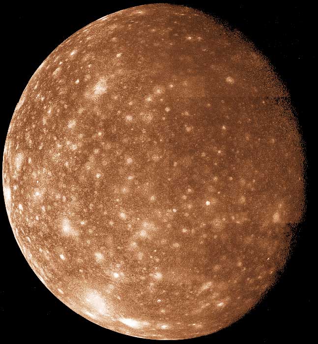
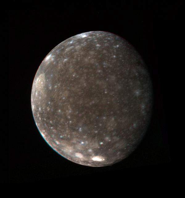
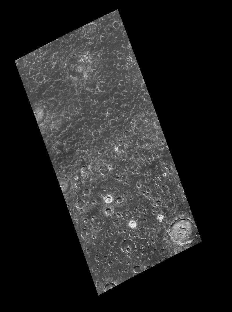
Jupiter_Callisto_1.jpg
|
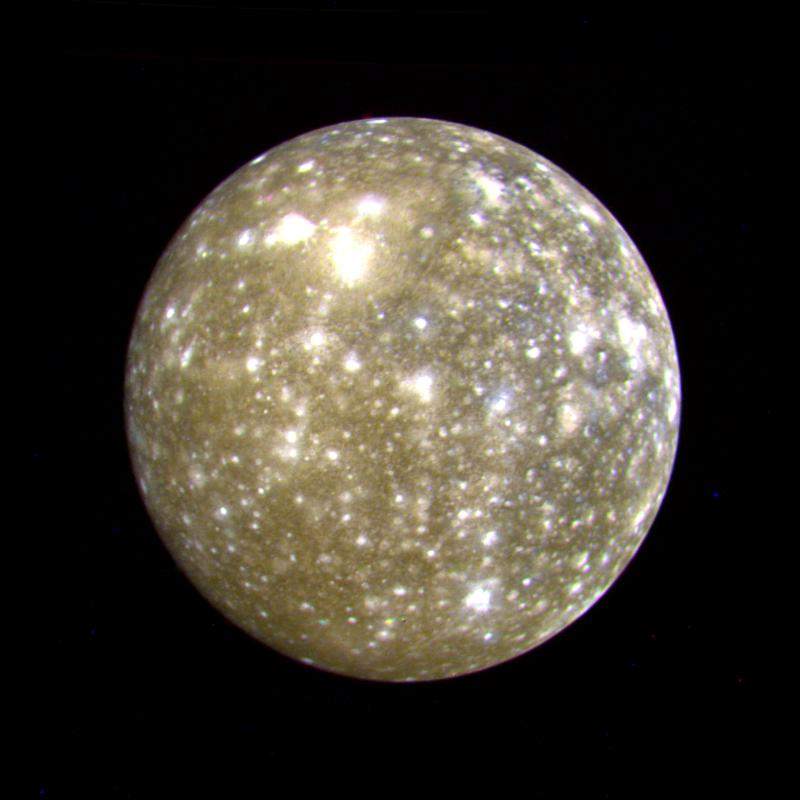
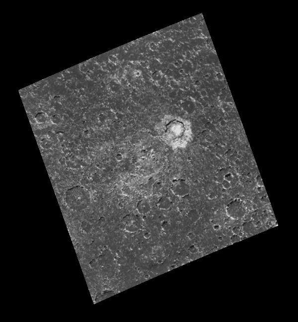
Jupiter_Callisto_2.jpg
|
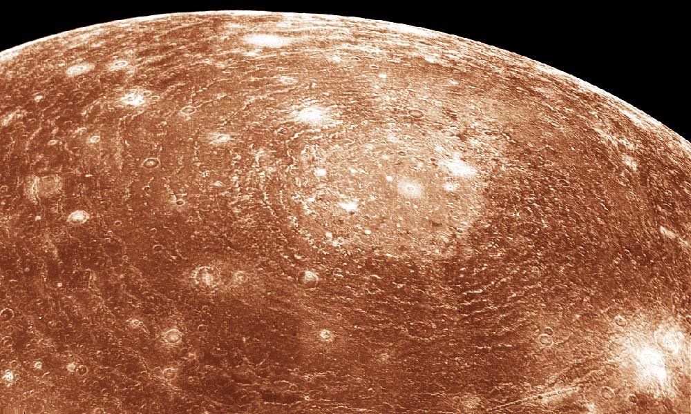
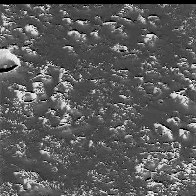
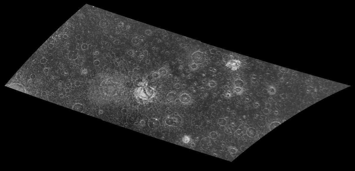
Jupiter_Callisto_4.jpg
|
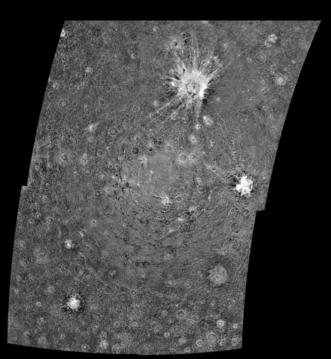
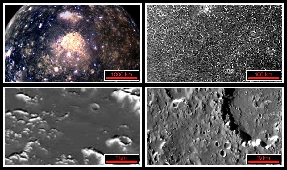
PIA00080: Callisto Mosaic
|
PIA00362: Callisto's Icy Surface
|
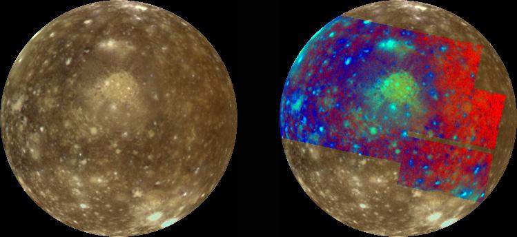
PIA00457: Callisto False Color
|
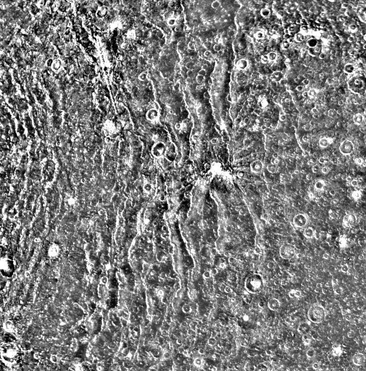
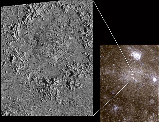
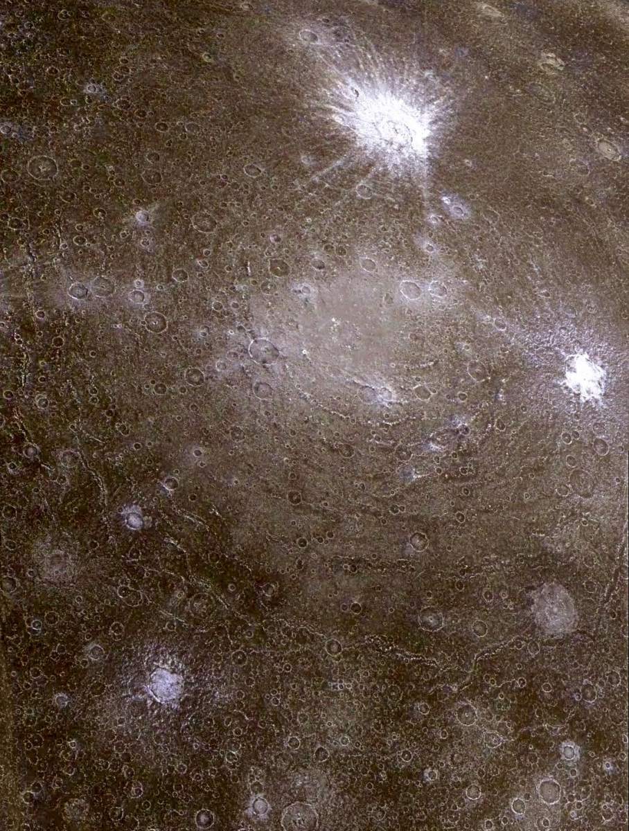
PIA00484: Concentric Rings Surrounding Valhalla
|
PIA00514: A Chain of Impact Craters on Callisto
|
PIA00516: Callisto's Valhalla impact structure
|
PIA00517: Asgard impact structure on Callisto
|
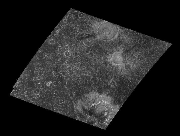
PIA00549: Callisto Crater Chain Mosaic
|
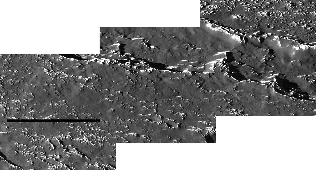
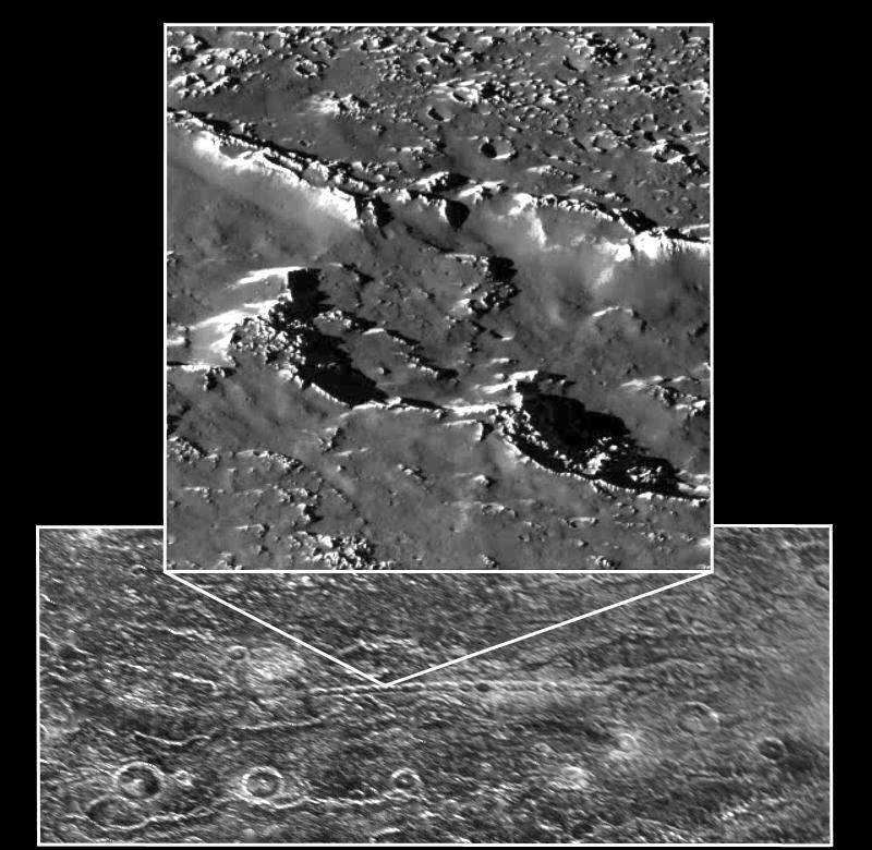
PIA00561: Callisto Scarp Mosaic
|
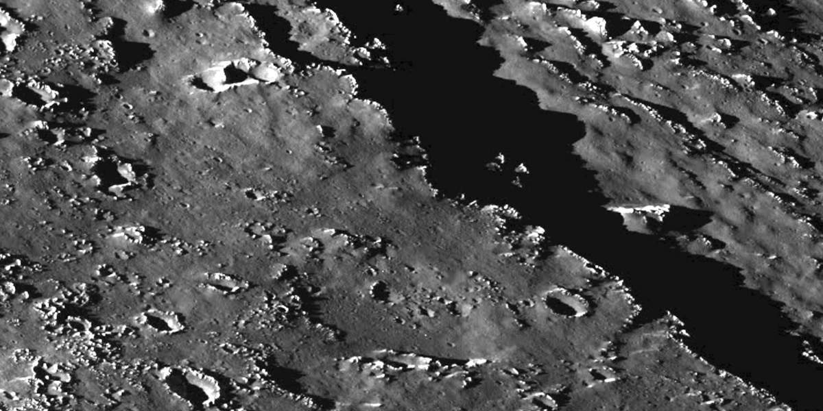
PIA00562: Asgard Scarp Mosaic
|
PIA00581: Callisto Crater Chain at High Resolution Shown in Context
|
PIA00745: Callisto's Equatorial Region
|
PIA00876: Craters near the south pole of Callisto
|
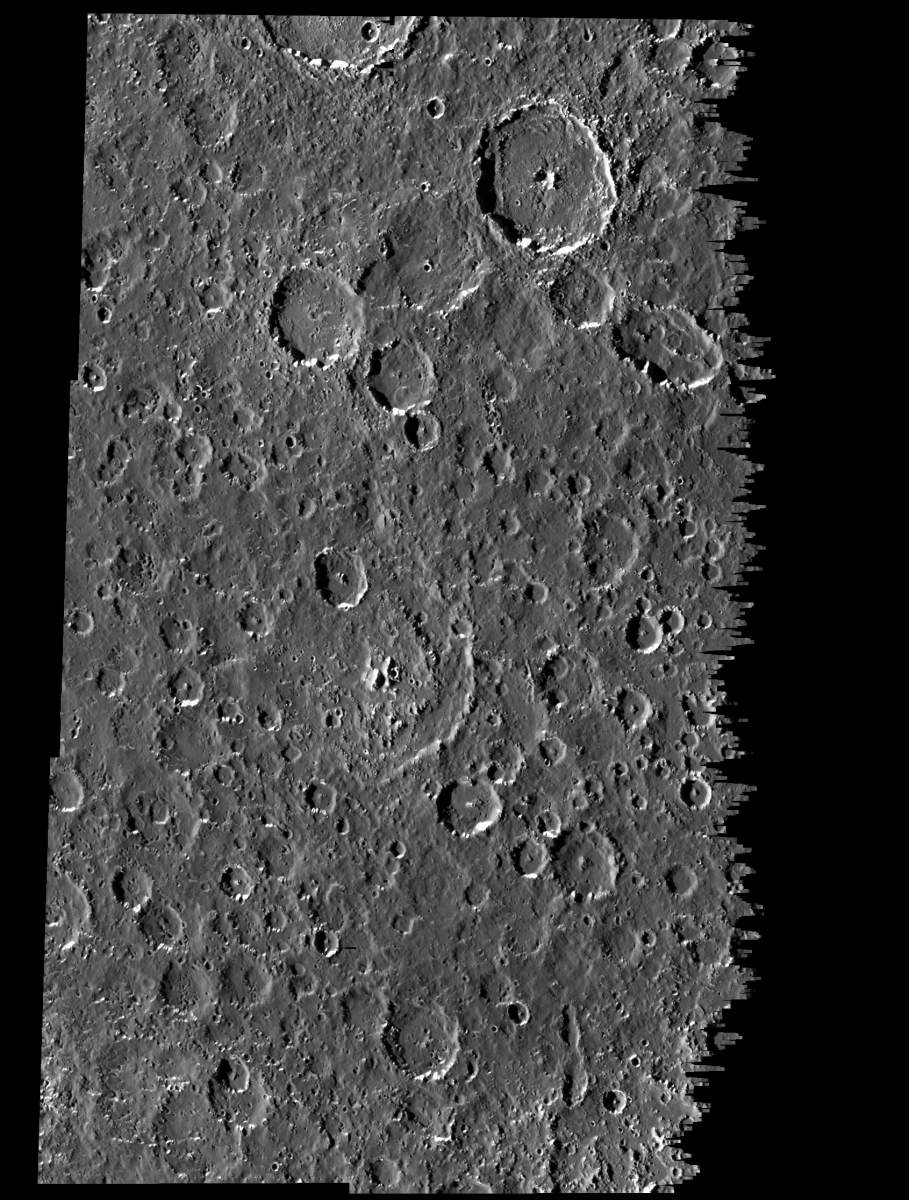
PIA00898: Moderate-resolution view of Callisto's surface
|
PIA01054: Har Crater on Callisto
|
PIA01055: View of Callisto from Voyager and Galileo
|
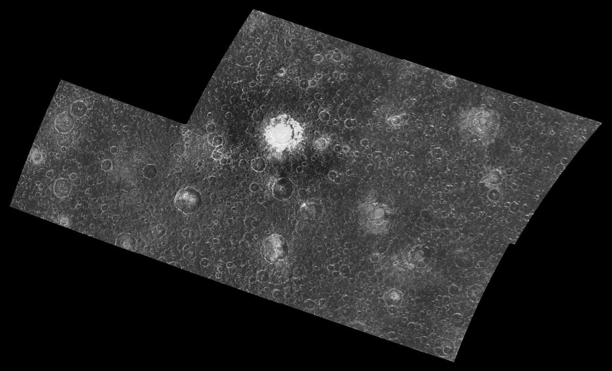
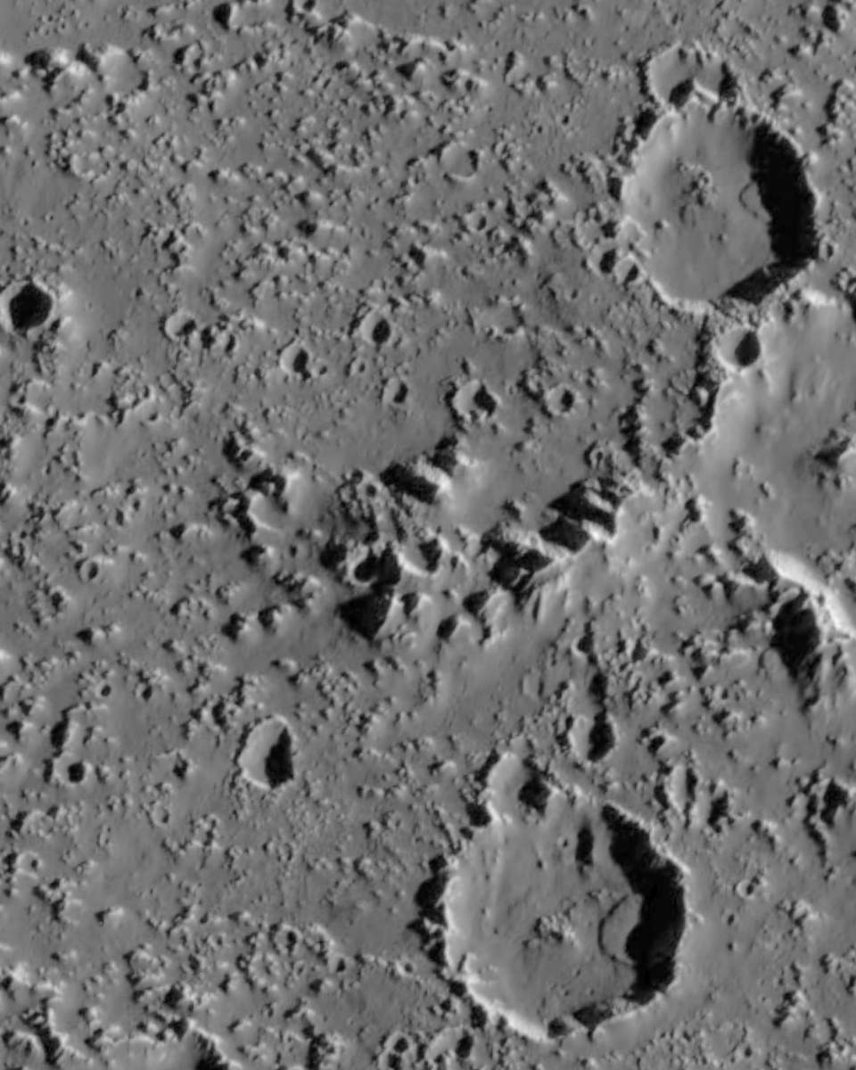
PIA01077: Large impact on Callisto`s southern hemisphere
|
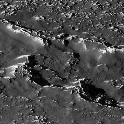
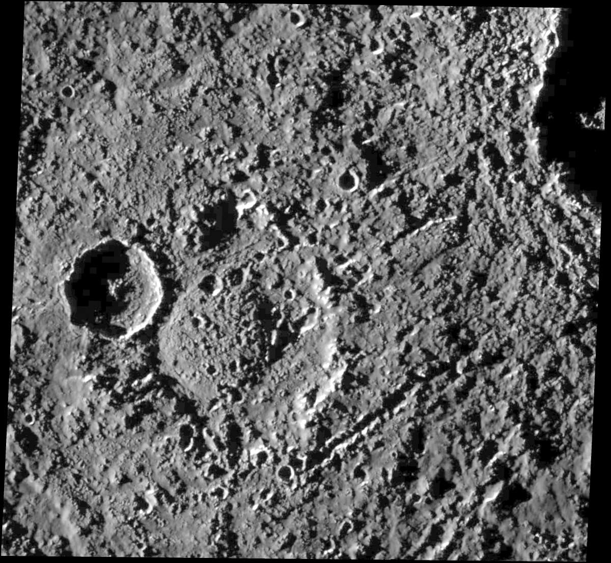
PIA01095: Landslides on Callisto
|
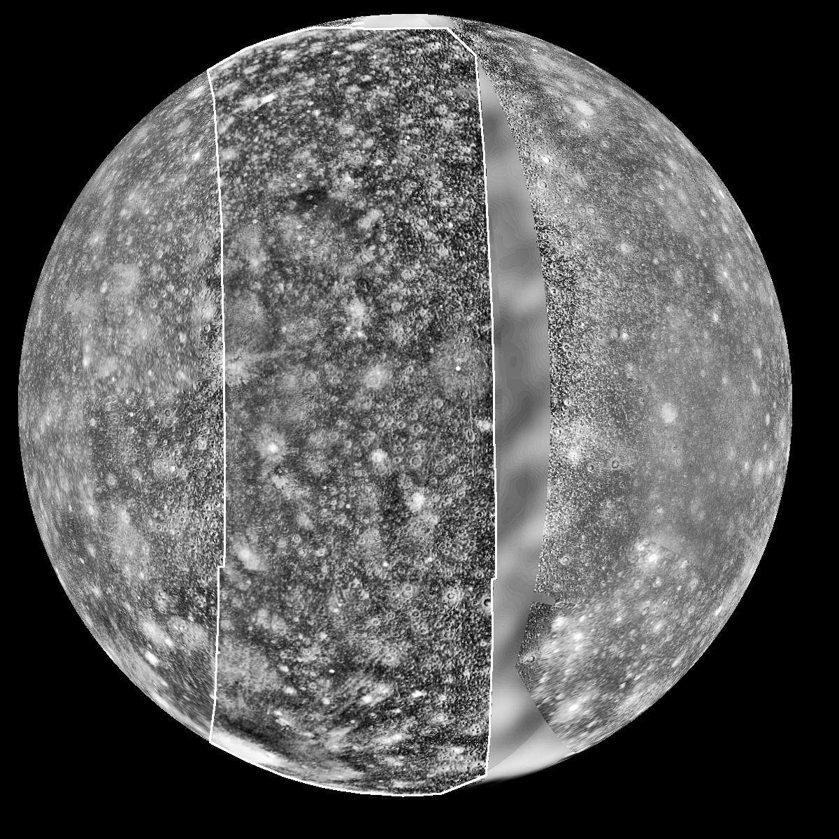
PIA01100: The Asgard Hemisphere of Callisto
|
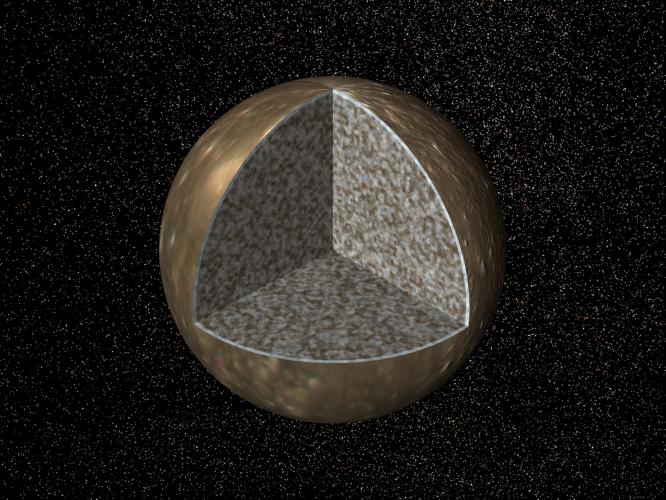
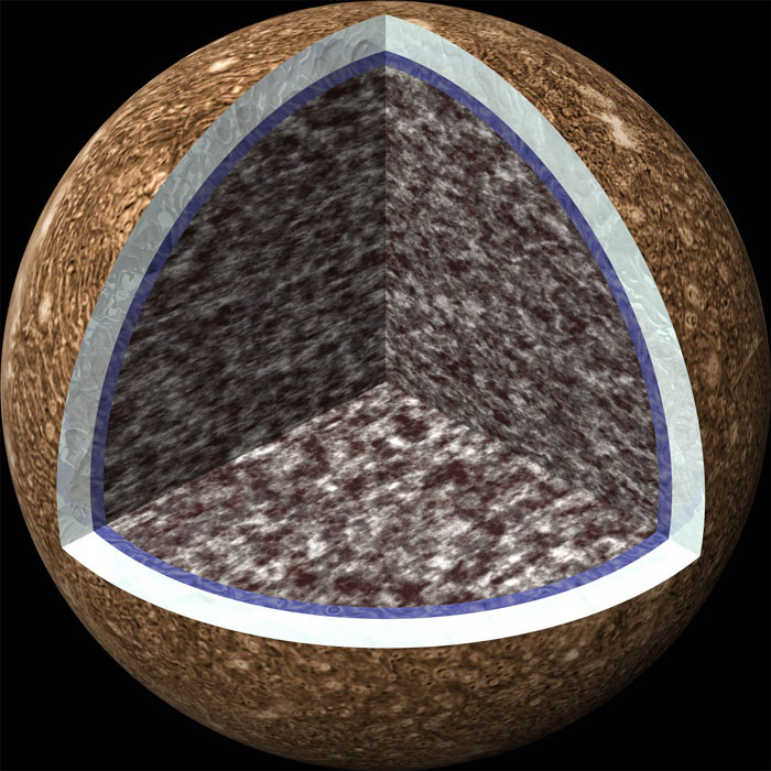
PIA01131: Interior of Callisto
|
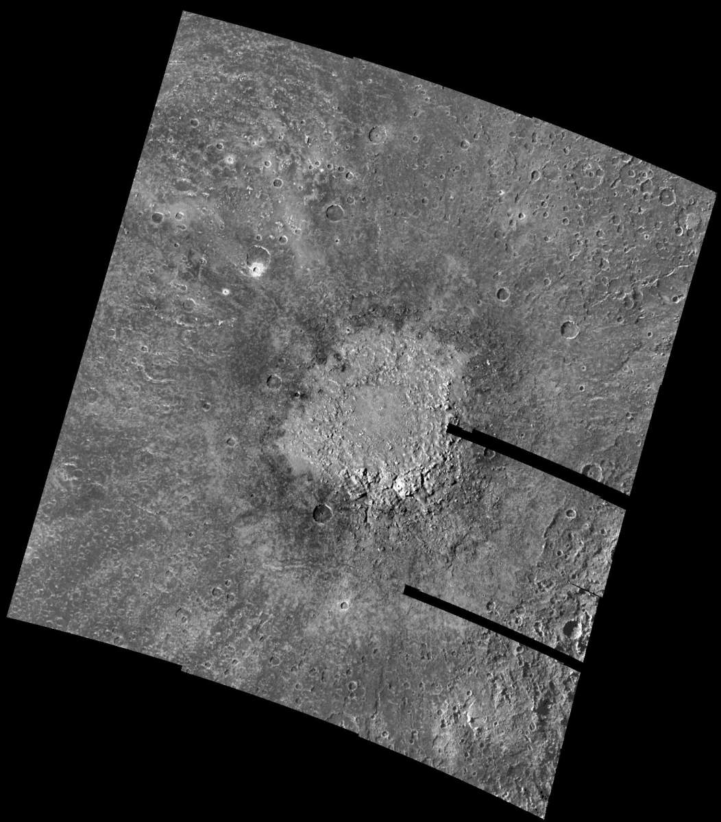
PIA01219: Large Craters in Callisto's Southern Hemisphere
|
PIA01221: Heavy Cratering near Callisto's South Pole
|
PIA01222: Mass wasting in craters near the south pole of Callisto
|
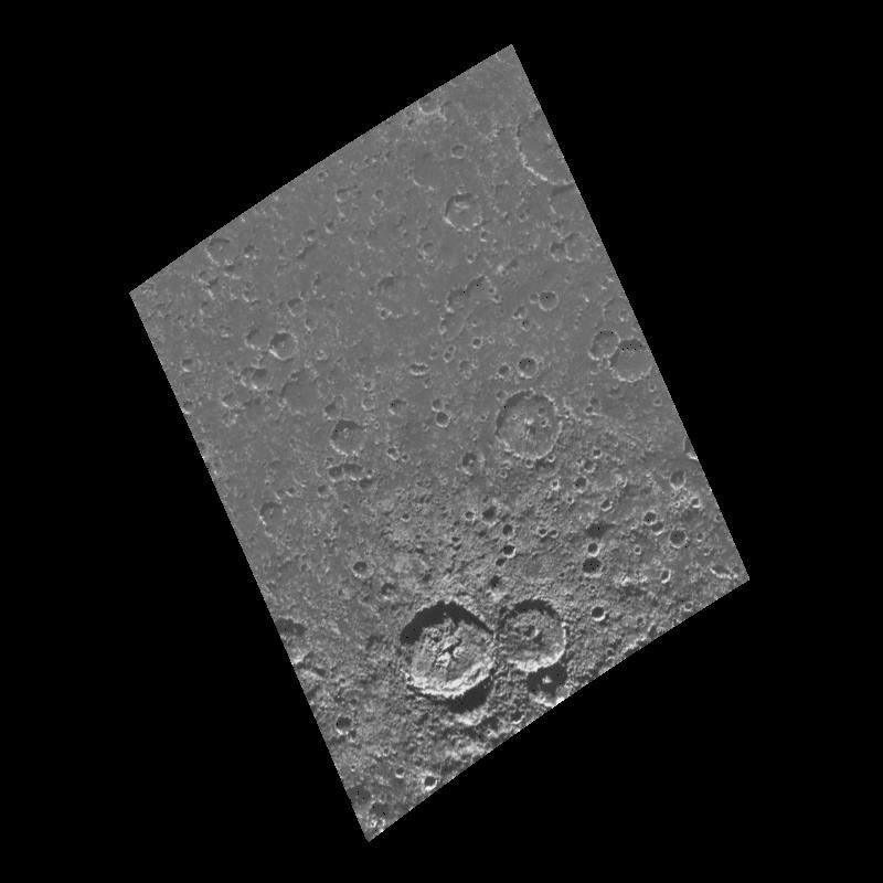
PIA01225: Craters in a Newly Imaged Area on Callisto
|
PIA01297: View of Callisto at Increasing Resolutions
|
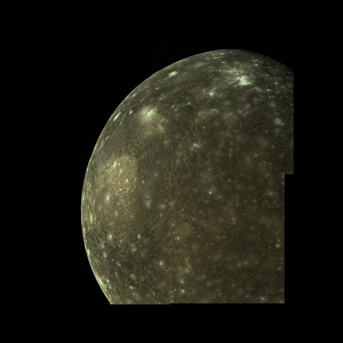
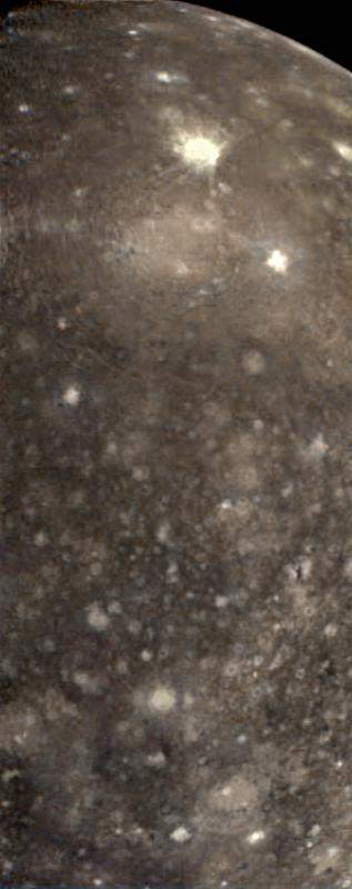
PIA01298: Global Color Variations on Callisto
|
PIA01478: Callisto Cutaway with Ocean (Artist's Concept)
|