


Galerie de photos de la planète Vénus
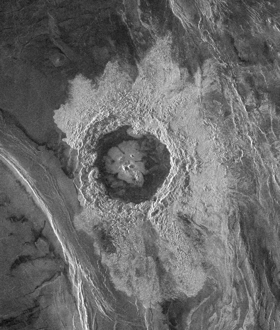
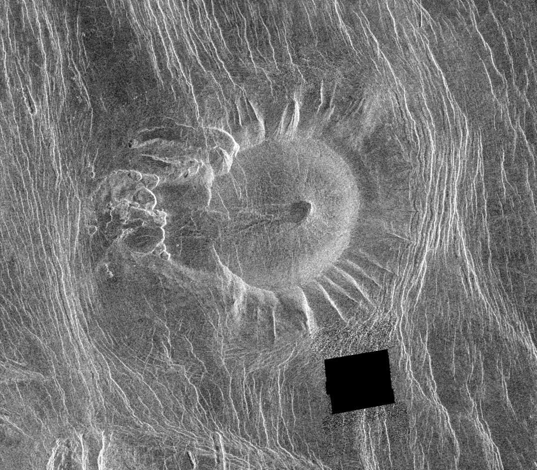
PIA00479: Venus - Complex Crater 'Dickinson' in NE Atalanta Region
|
PIA00250: Venus - Wanda Crater in Akna Montes
|
PIA00149: Venus - Maxwell Montes and Cleopatra Crater
|
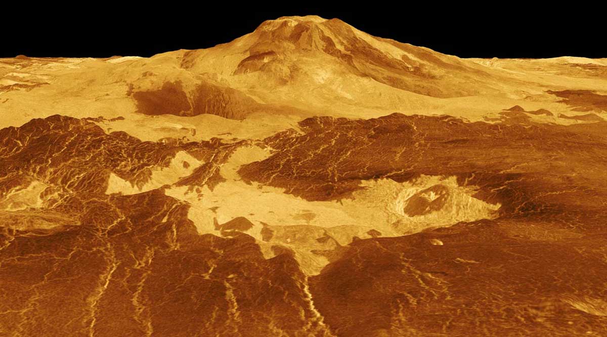
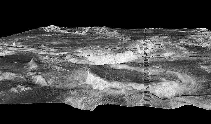
PIA00107: Venus - 3D Perspective View of Sapas Mons
|
PIA00089: Venus - Eistla Region
|
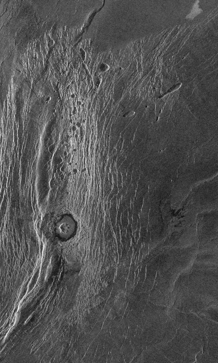
PIA00100: Venus - Fractured Somerville Crater in Beta Regio
|
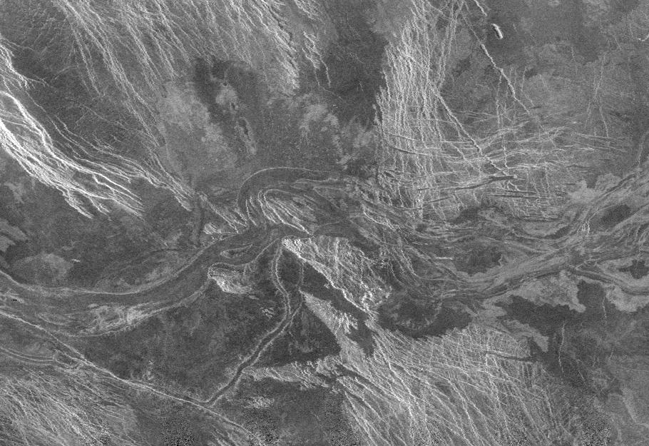
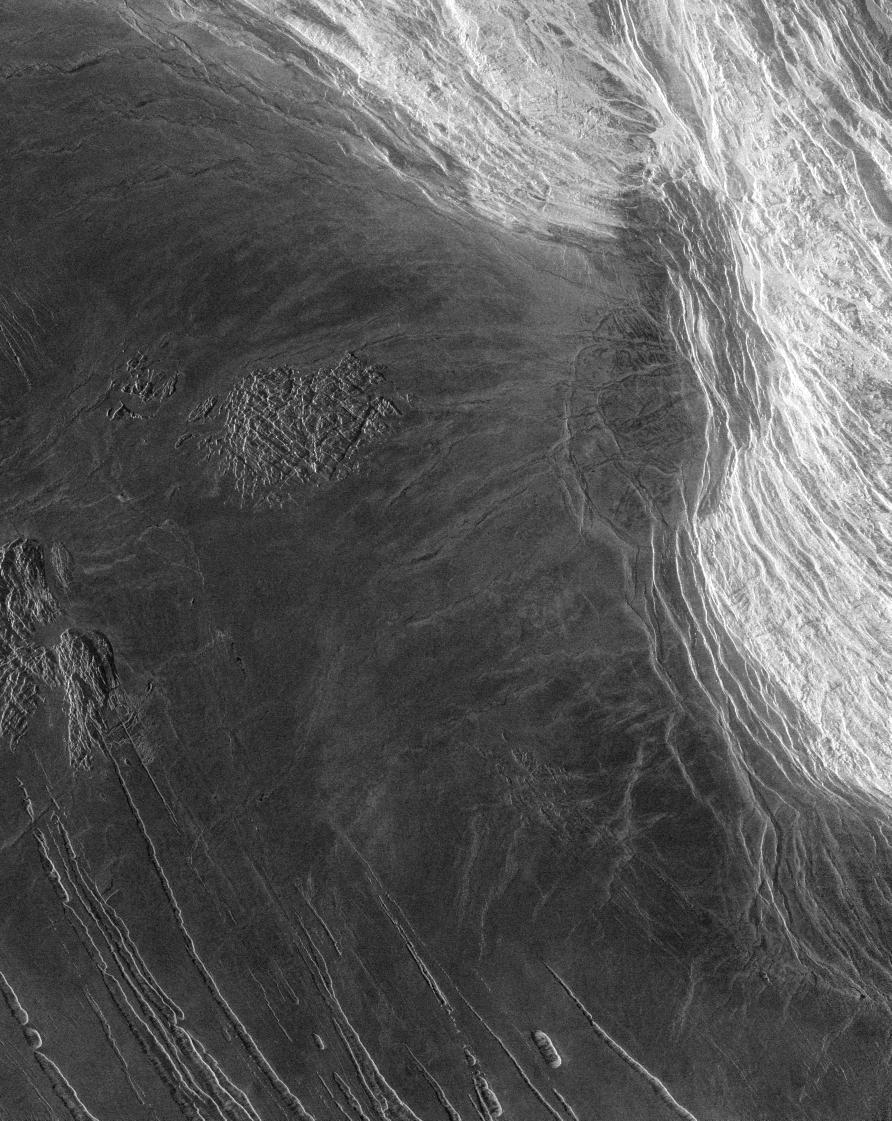
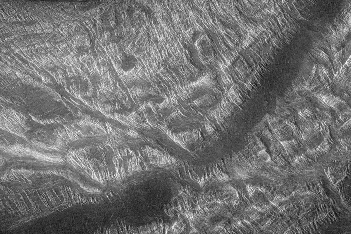
PIA00087: Lavinia Region Ridge Belts, Plains and Lava Flows
|
PIA00219: Venus - Lada Terra Region
|
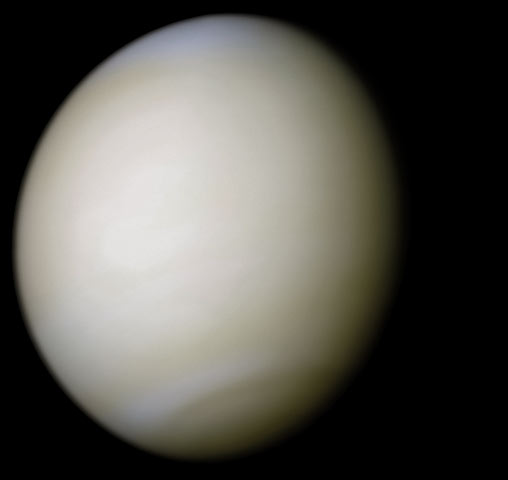
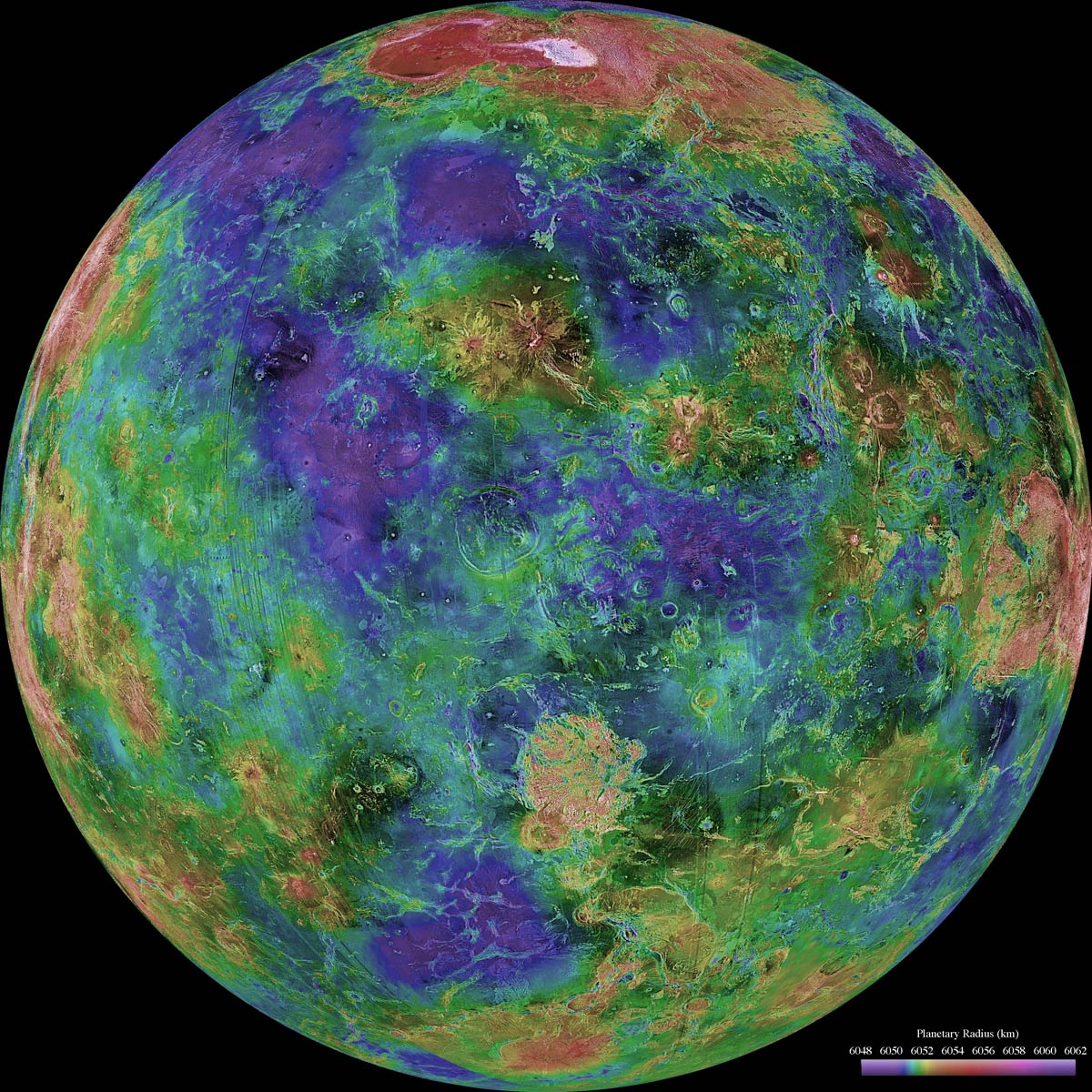
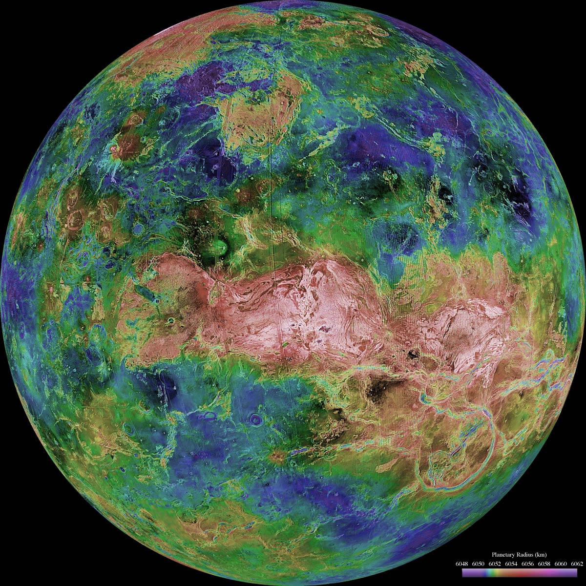
Venus-real_color.jpg
|
PIA00096: Three-dimensional perspective views of Venusian Terrains composed of reduced resolution left-looking synthetic-aperture radar images merged with altimetry data from the Magellan spacecraft.
|
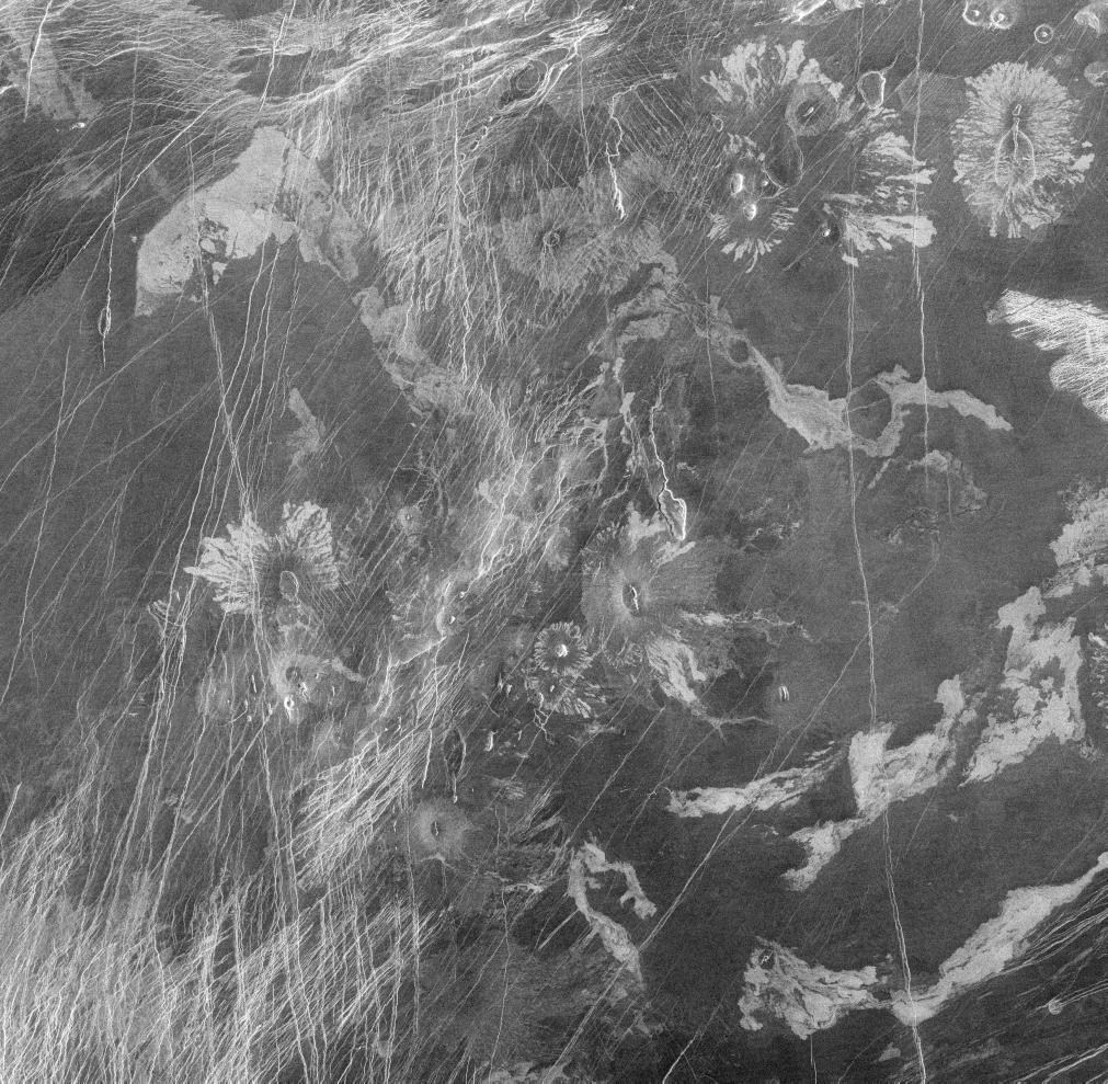
PIA00201: Venus - Volcanic features in Atla Region
|
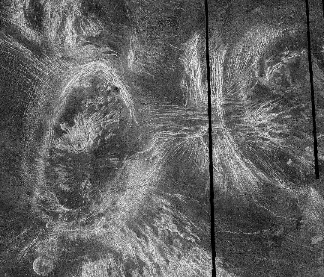
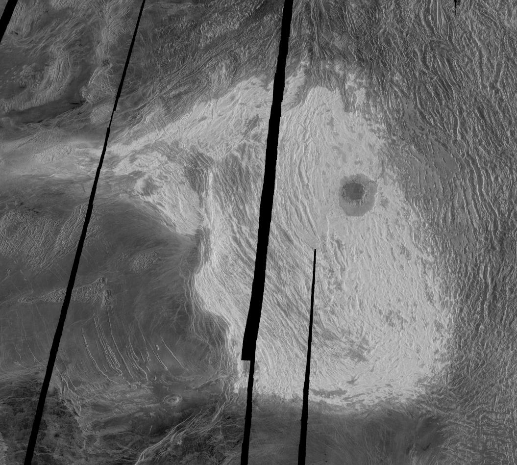
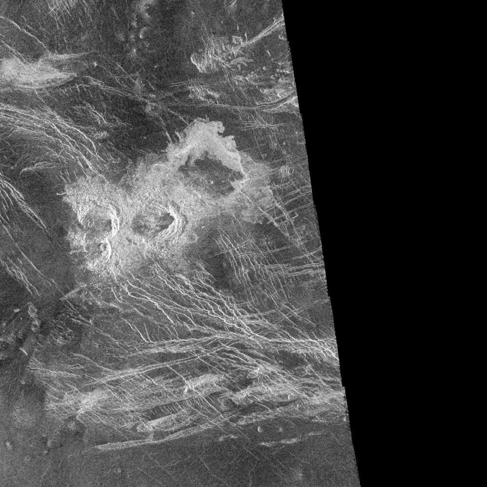
PIA00461: Venus - Mosaic of Bahet and Onatah Coronae
|
PIA00241: Venus - Lakshmi Planum and Maxwell Montes
|
Venus_d00.jpg
|
Venus_07.jpg
|
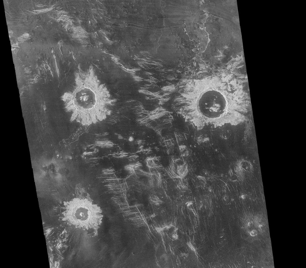
PIA00086: Mosaic of Large Impact Craters
|
PIA00218: Venus - Interior of Ovda Regio
|
PIA00088: Venus - Stein Triplet Crater
|
Venus_d180.jpg
|
![<h1>PIA00148: Venus - Mead Crater</h1><div class="PIA00148" lang="en" style="width:800px;text-align:left;margin:auto;background-color:#000;padding:10px;max-height:150px;overflow:auto;">This Magellan image mosaic shows the largest (275 kilometers in diameter [170 miles]) impact crater known to exist on Venus at this point in the Magellan mission. The crater is located north of Aphrodite Terra and east of Eistla Regio at latitude 12.5 degrees north and longitude 57.4 degrees east, and was imaged during Magellan orbit 804 on November 12, 1990. The Magellan science team has proposed to name this crater Mead, after Margaret Mead, the American Anthropologist (1901- 1978). All Magellan-based names of features on Venus are, of course, only proposed until final approval is given by the International Astronomical Union-Commission on Planetary Nomenclature. Mead is classified as a multi-ring crater with its innermost, concentric scarp being interpreted as the rim of the original crater cavity. No inner peak-ring of mountain massifs is observed on Mead. The presence of hummocky, radar-bright crater ejecta crossing the radar-dark floor terrace and adjacent outer rim scarp suggests that the floor terrace is probably a giant rotated block that is concentric to, but lies outside of, the original crater cavity. The flat, somewhat brighter inner floor of Mead is interpreted to result from considerable infilling of the original crater cavity by impact melt and/or by volcanic lavas. To the southeast of the crater rim, emplacement of hummocky ejecta appears to have been impeded by the topography of preexisting ridges, thus suggesting a very low ground-hugging mode of deposition for this material. Radar illumination on this and all other Magellan image products is from the left to the right in the scene.<br /><br /><a href="http://photojournal.jpl.nasa.gov/catalog/PIA00148" onclick="window.open(this.href); return false;" title="Voir l'image PIA00148: Venus - Mead Crater sur le site de la NASA">Voir l'image PIA00148: Venus - Mead Crater sur le site de la NASA.</a></div>](tl_files/photos/Venus/1-La-planete-Venus/PIA00148.jpg)
PIA00148: Venus - Mead Crater
|
PIA00478: Venus - Global View Centered at 180 degrees
|
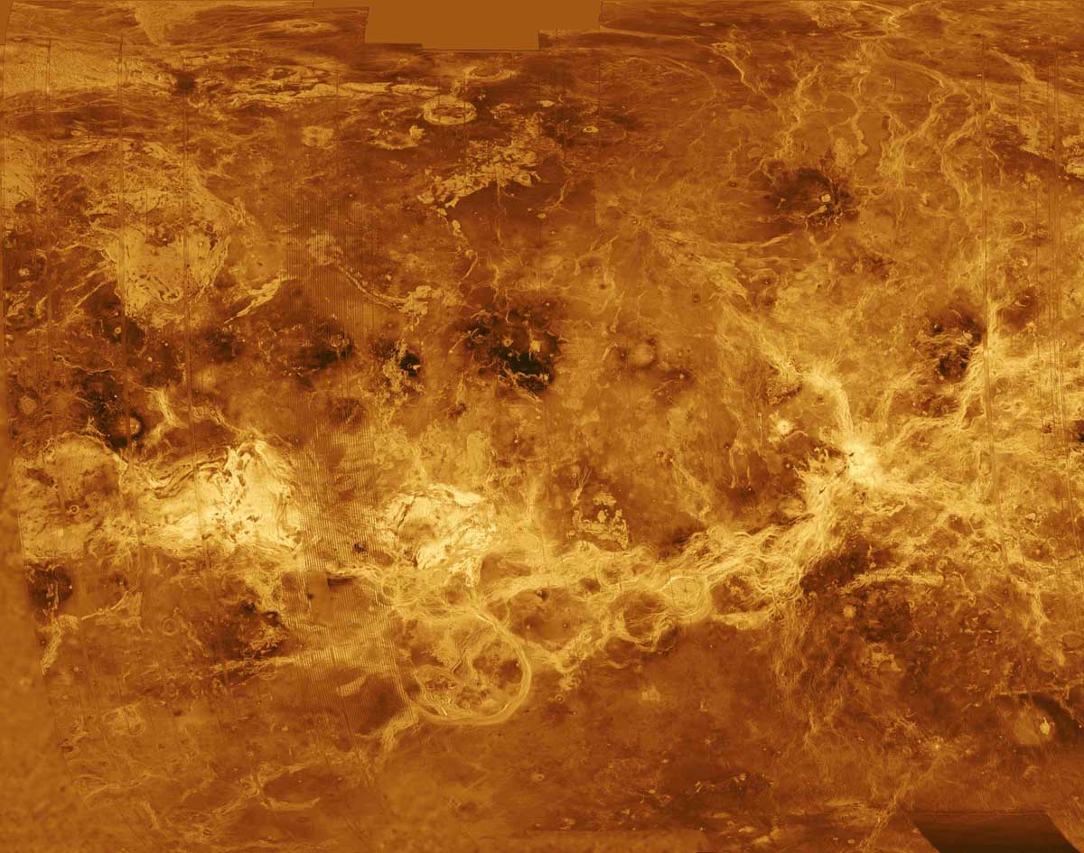
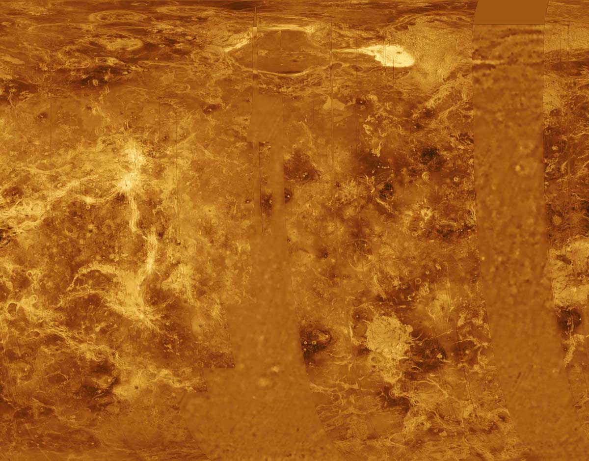
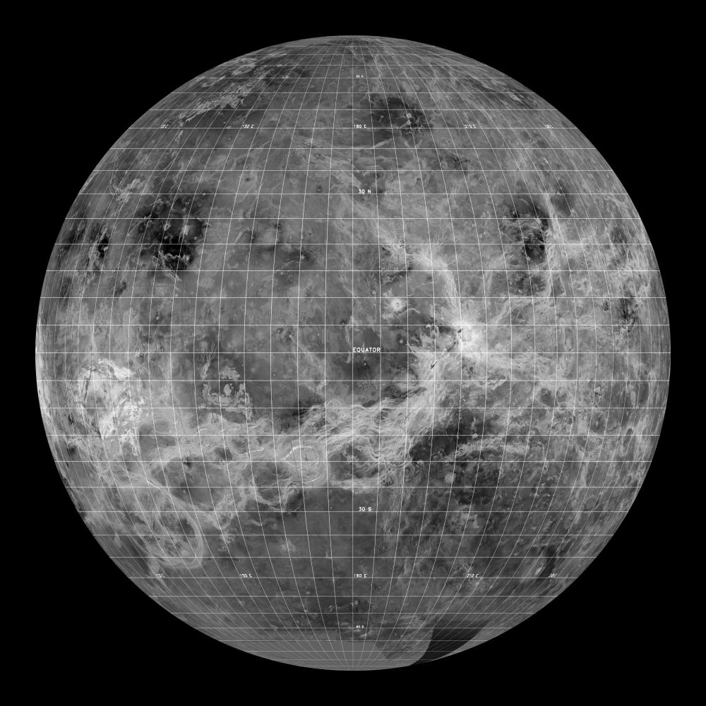
PIA00256: Venus - Simple Cylindrical Map of Surface (Eastern Half)
|

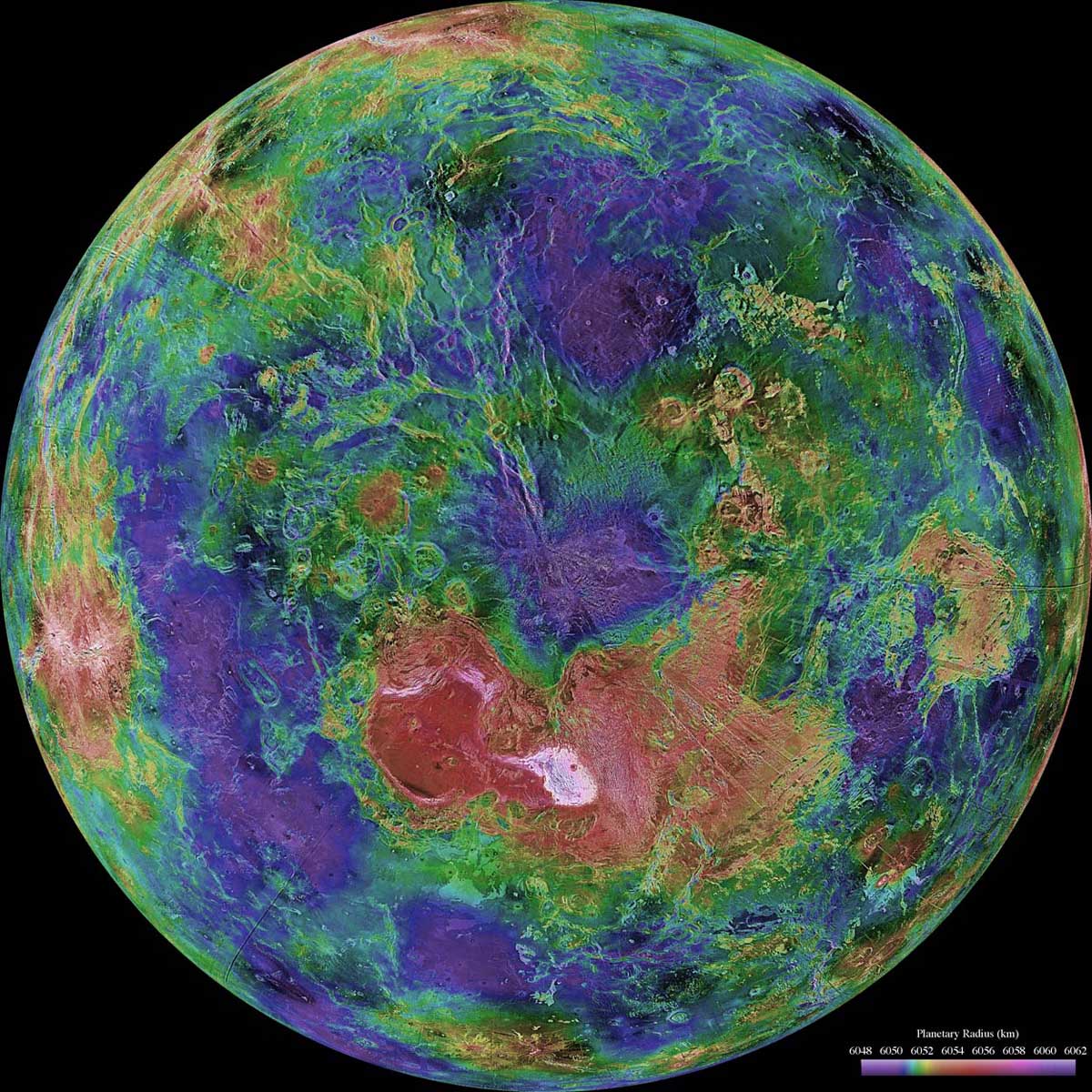
Venus_a_pole-nord.jpg
|
PIA00240: Venus - Lakshmi Planum
|
PIA00099: East Part of Sapas Mons with Flooded Crater
|
|
Venus_d_pole-nord.jpg
|
Venus_d90.jpg
|
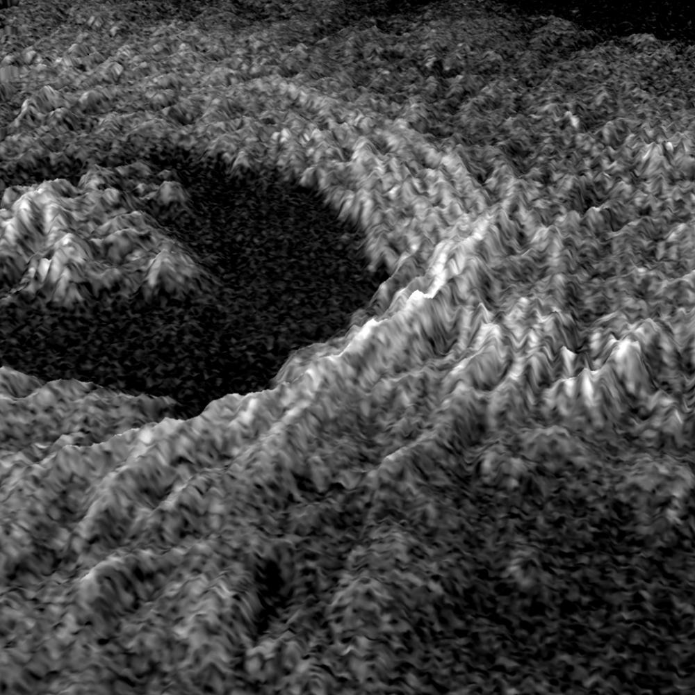
PIA00209: Venus - 3D Perspective of Golubkina Crater
|
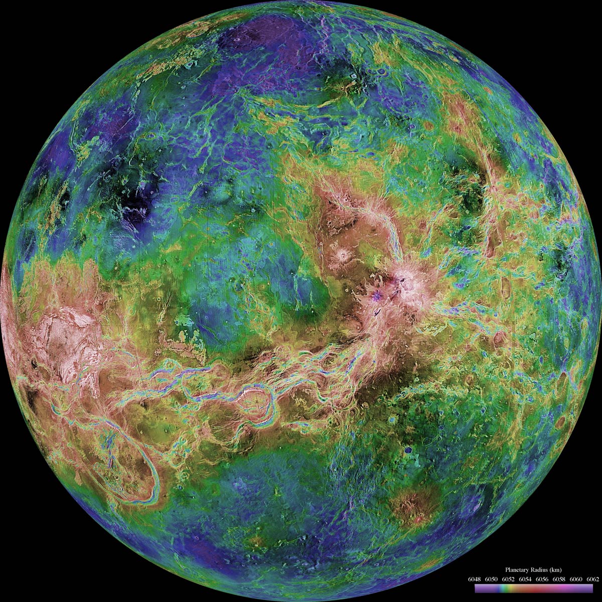
Synthese_Venus.jpg
|