

Galerie de photos de la Lune, satellite de la Terre
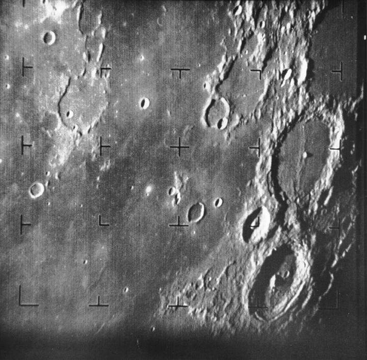
PIA02975: First Image of the Moon taken by a U.S. Spacecraft
|
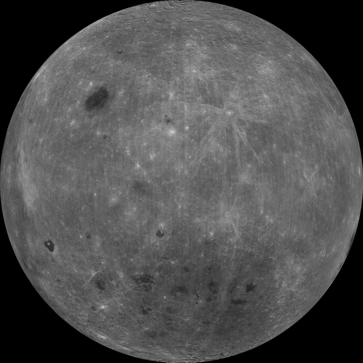
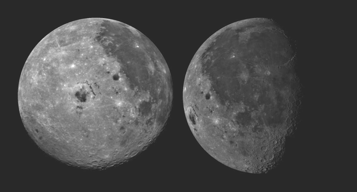
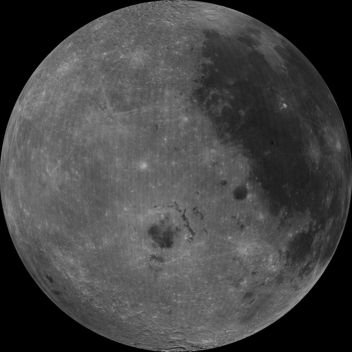
PIA00304: Farside View of Earth's Moon as Seen by the Clementine Spacecraft
|
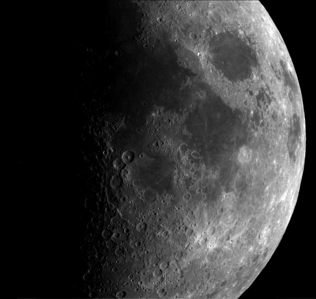
PIA00303: East Limb View of Earth's Moon as Seen by the Clementine Spacecraft
|
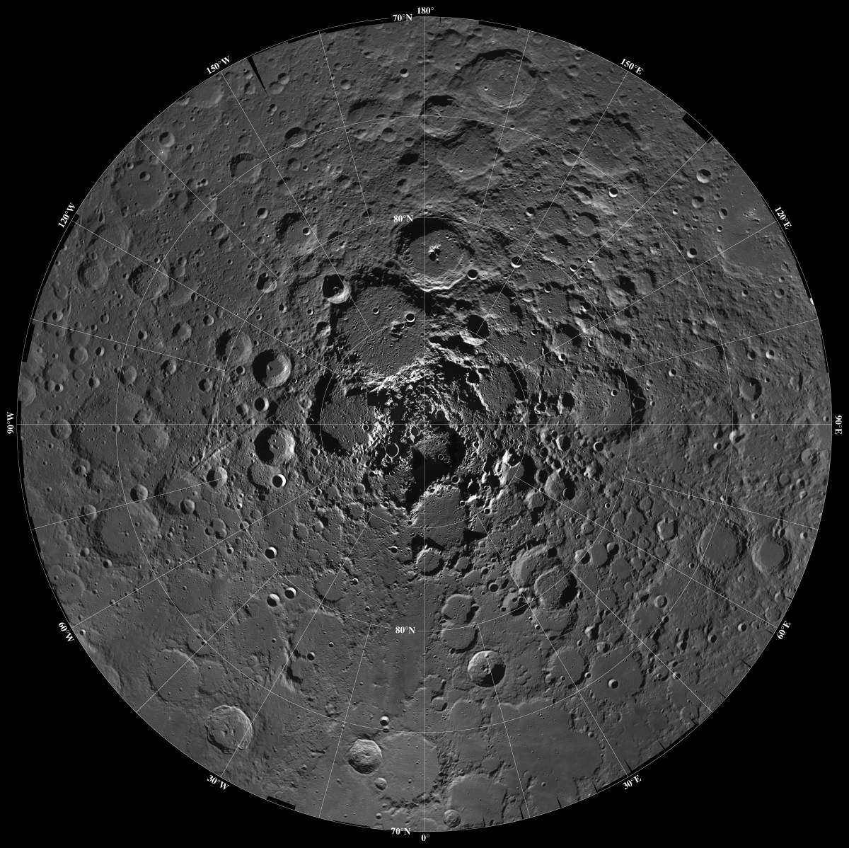
PIA00130: Moon - North Pole Mosaic
|
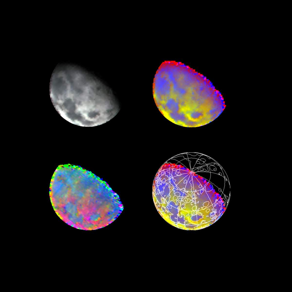
PIA00231: Moon As Seen By NIMS
|
PIA00126: Moon - North Pole
|
PIA00002: North Pole Region of the Moon as Seen by Clementine
|
PIA00128: Moon - 18 Image Mosaic
|
PIA00077: Moon - 2 Views of Orientale Basin
|
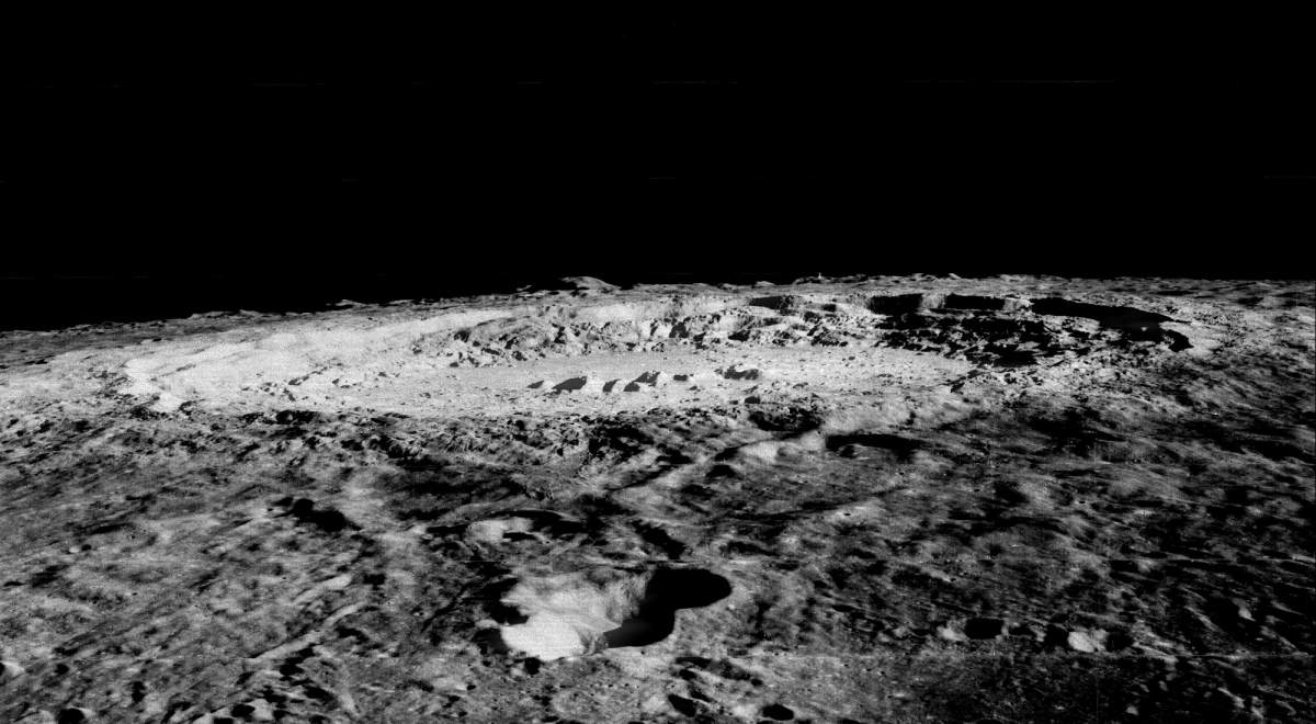
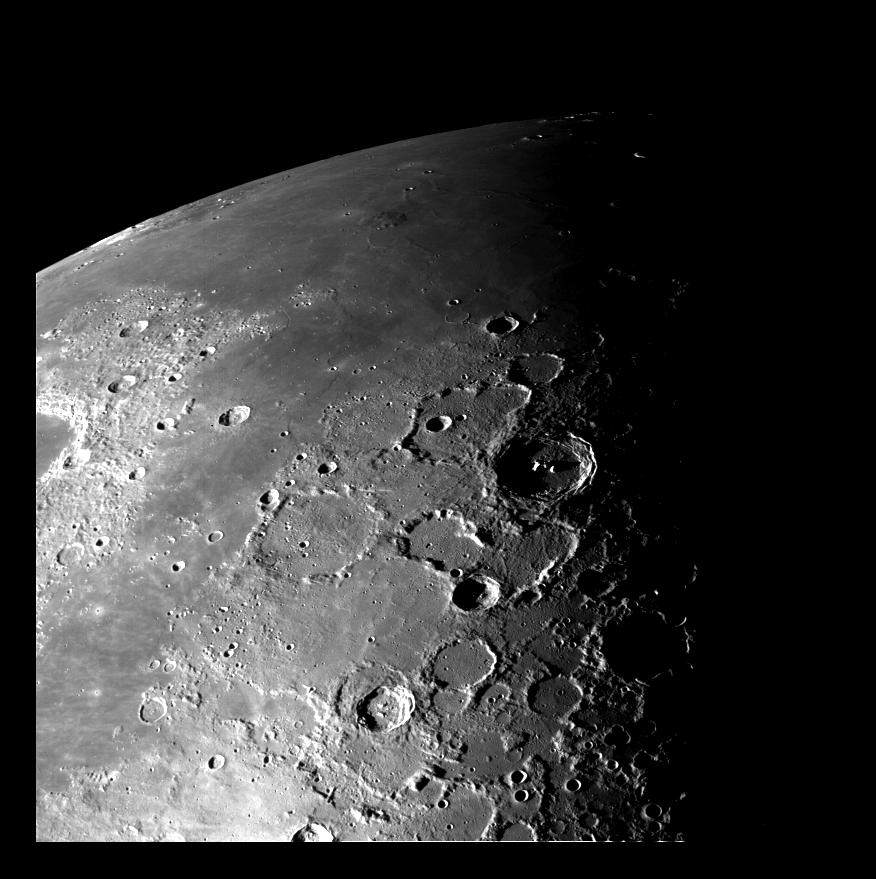
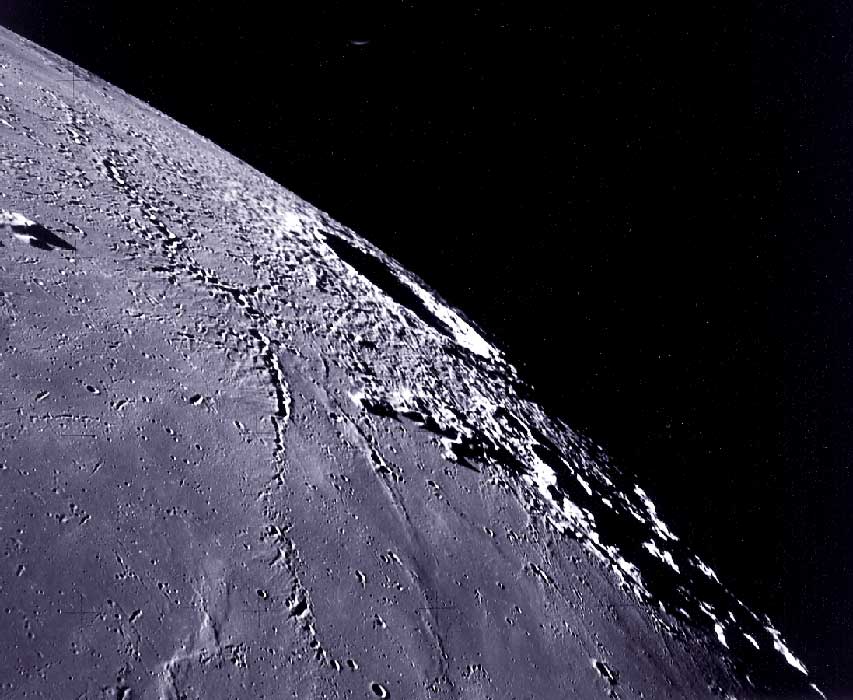
PIA00094: Limb of Copernicus Impact Crater
|
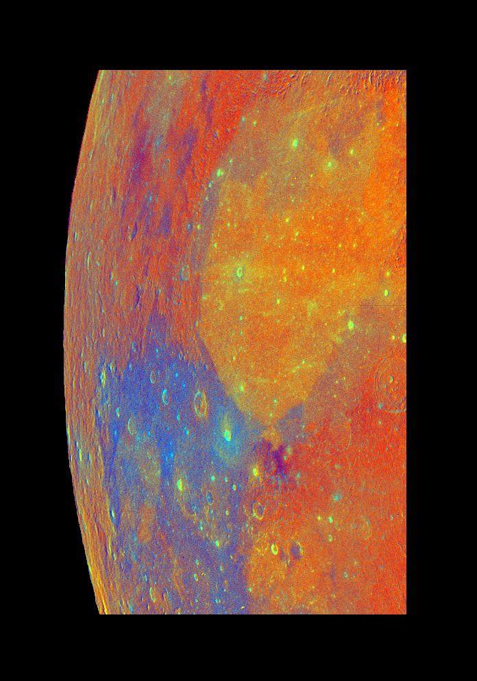
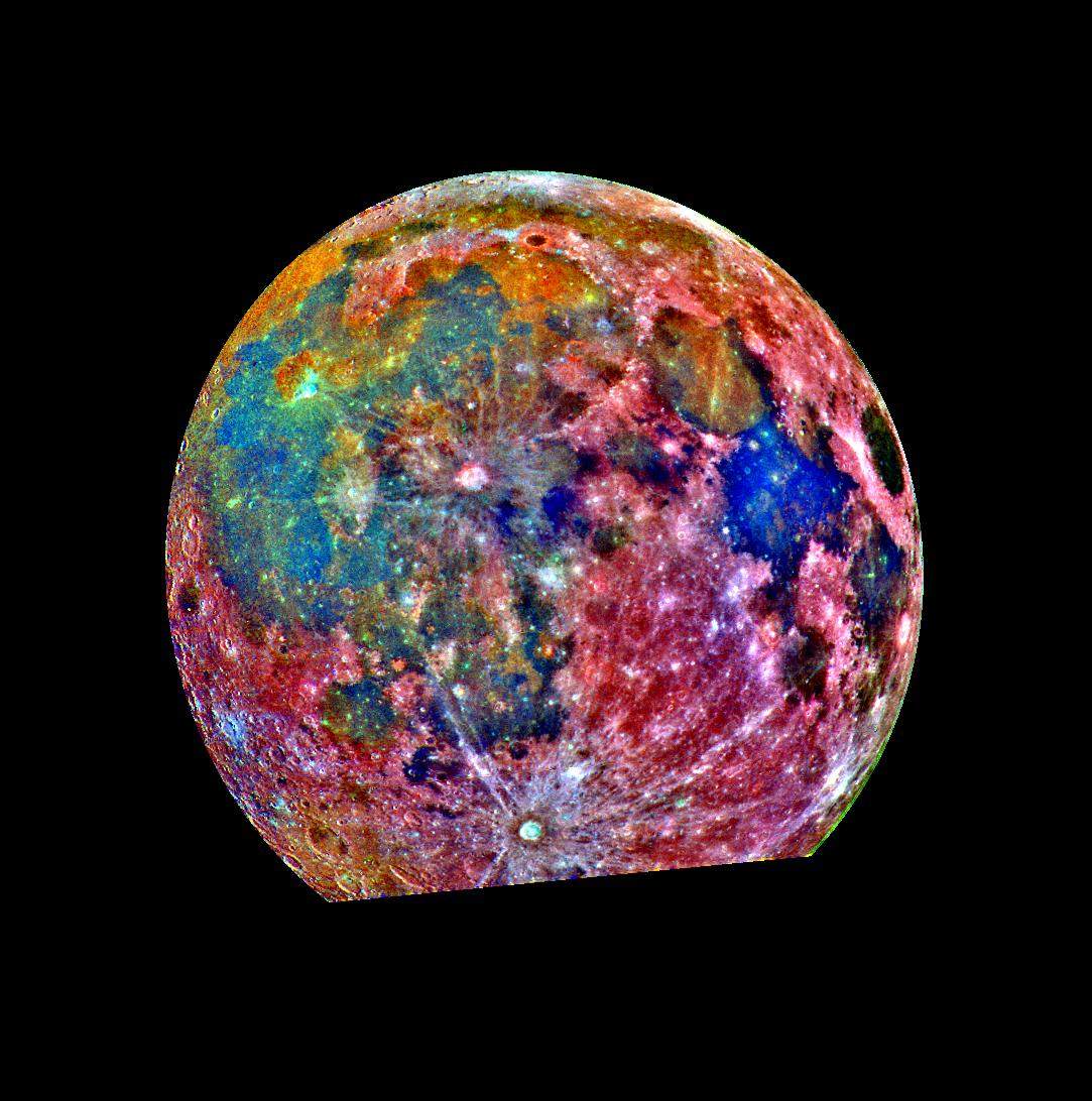
PIA00113: Moon Color Composite
|
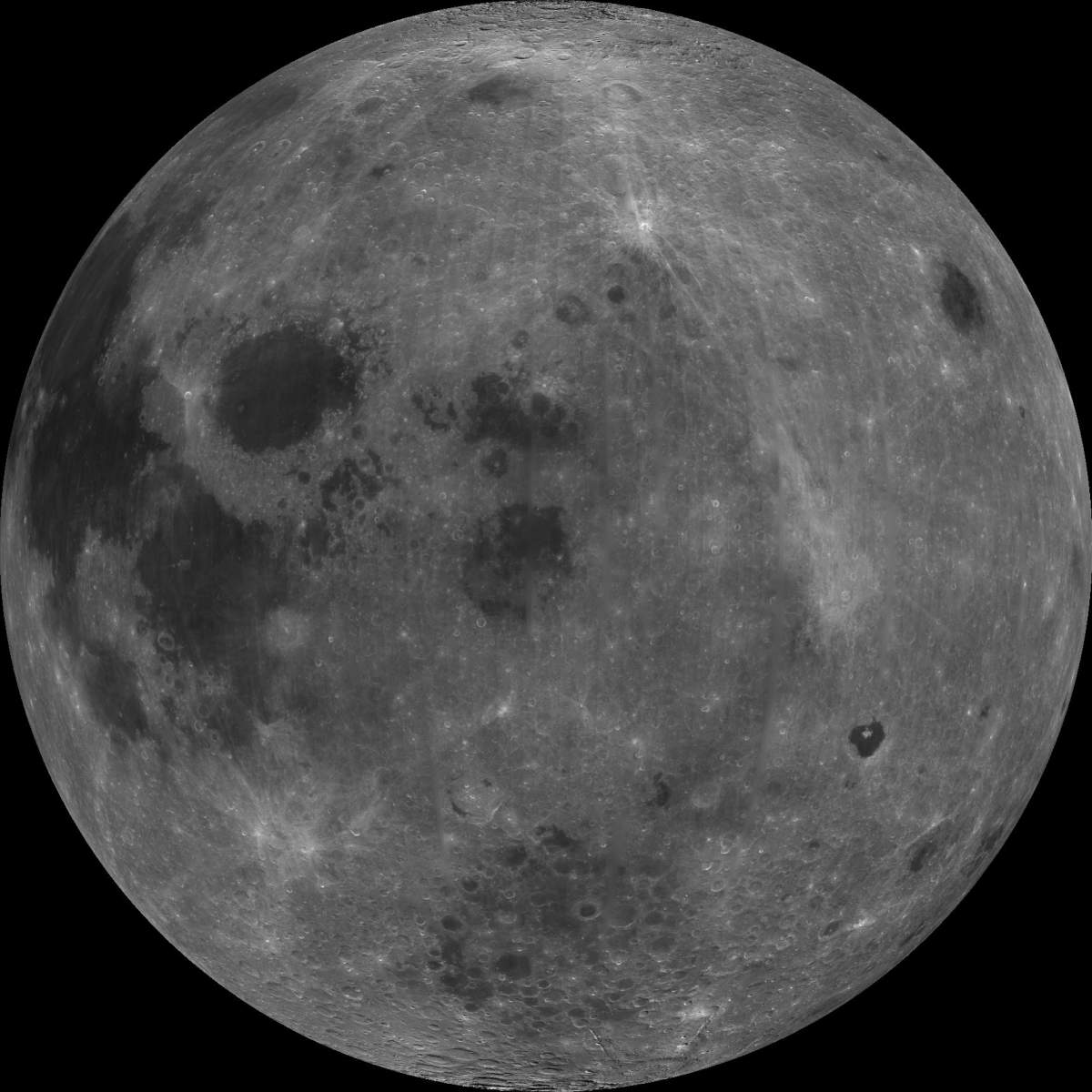
PIA00302: Nearside of Earth's Moon as Seen by the Clementine Spacecraft
|
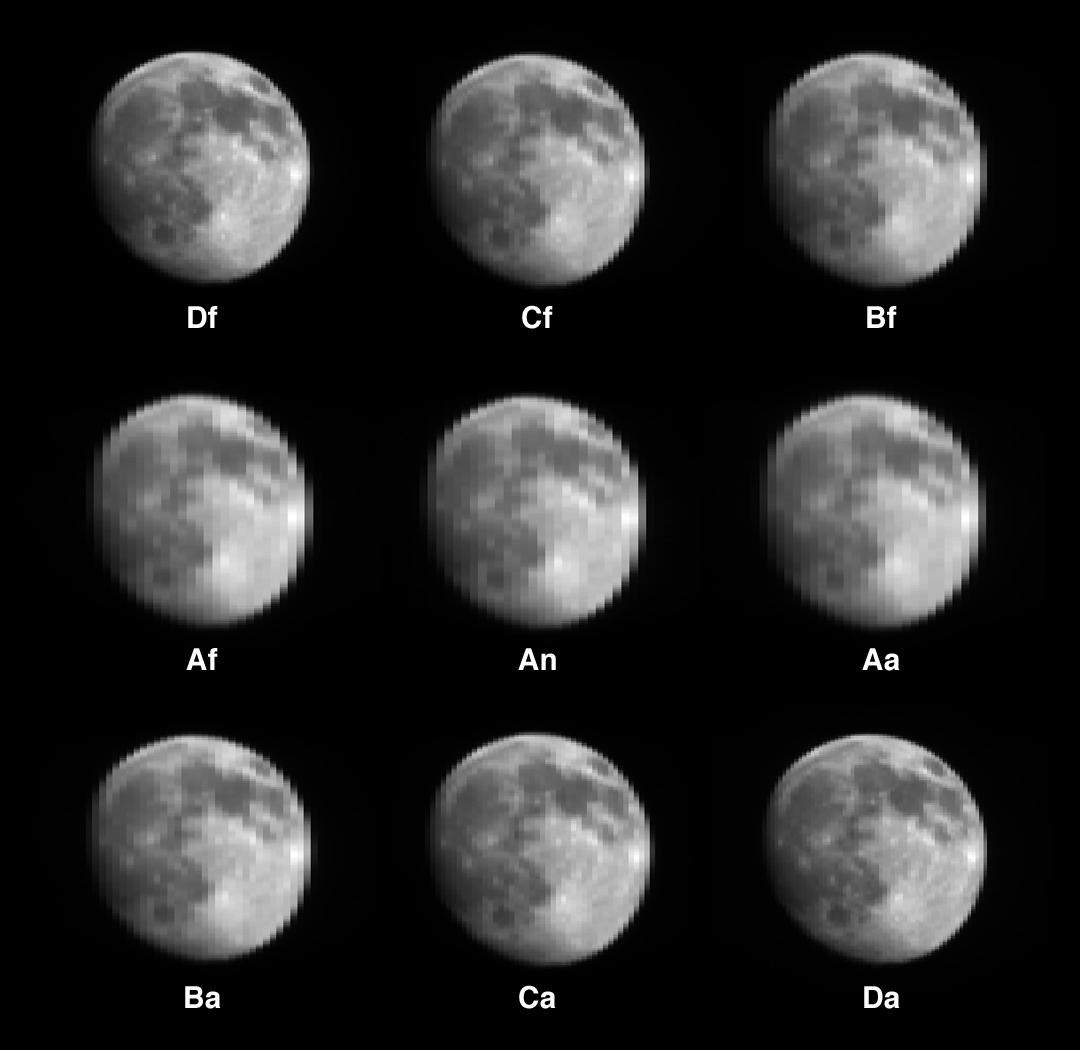
PIA02321: Single Still Image
|
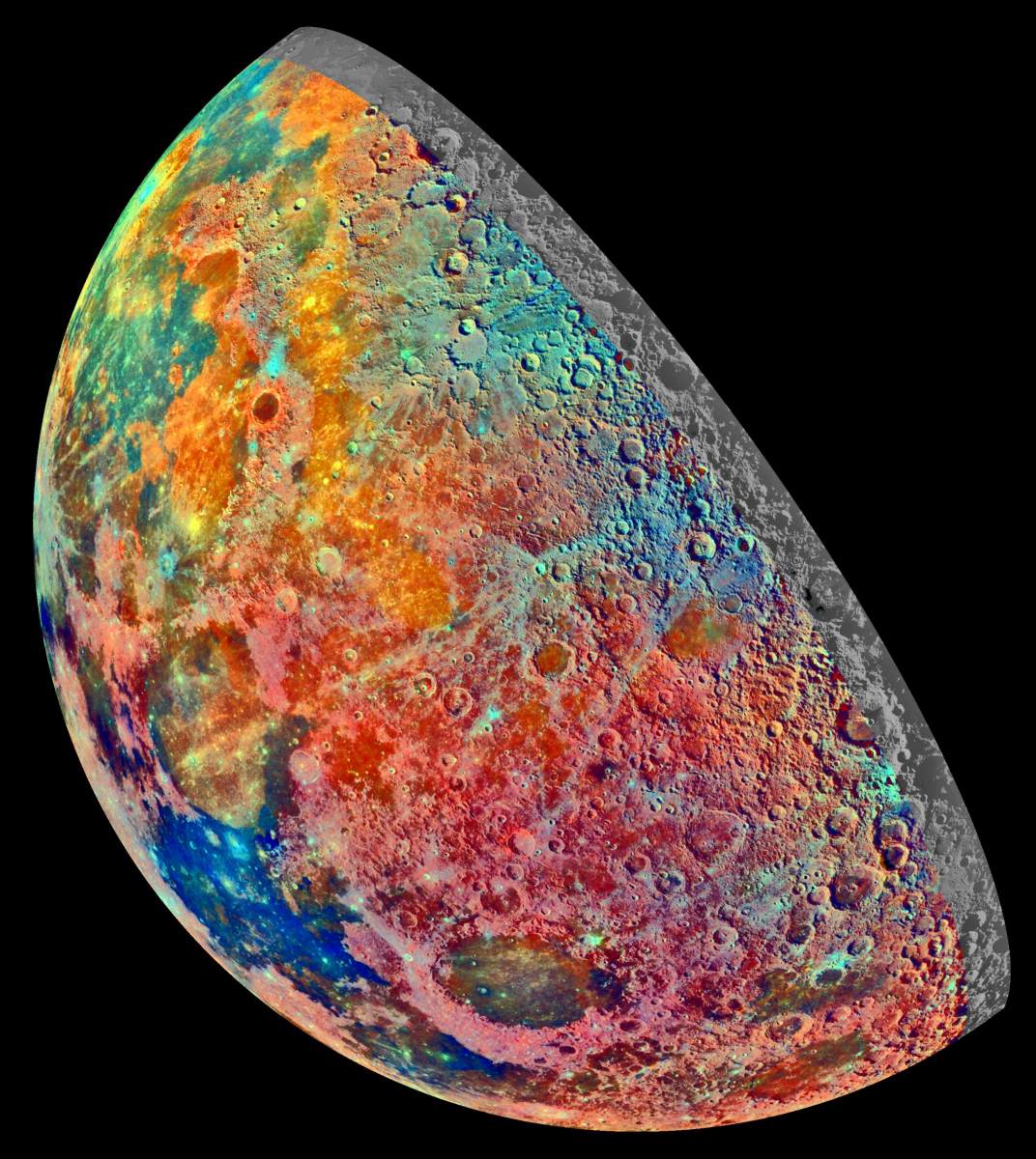
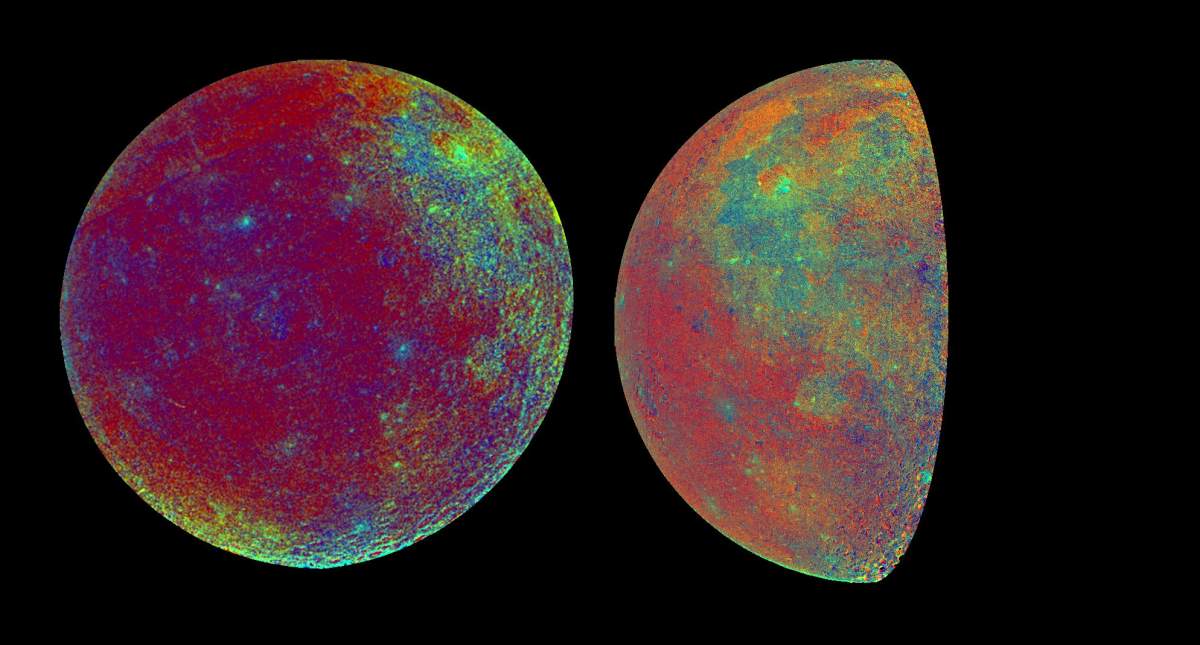
PIA00131: Moon - False Color Mosaic
|
PIA00305: West Limb View of Earth's Moon as Seen by the Clementine Spacecraft
|
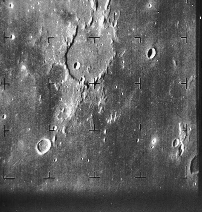
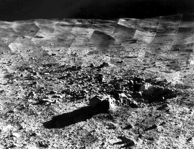
PIA02974: Guericke Crater as seen by Ranger 7
|
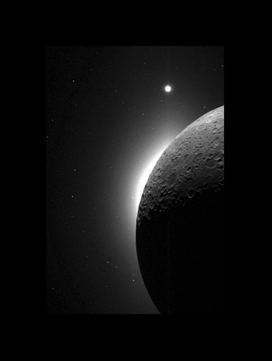
PIA00434: Clementine Observes the Moon, Solar Corona, and Venus
|
PIA04327: MISR Views the Moon
|
PIA00129: Moon - False Color Mosaic
|
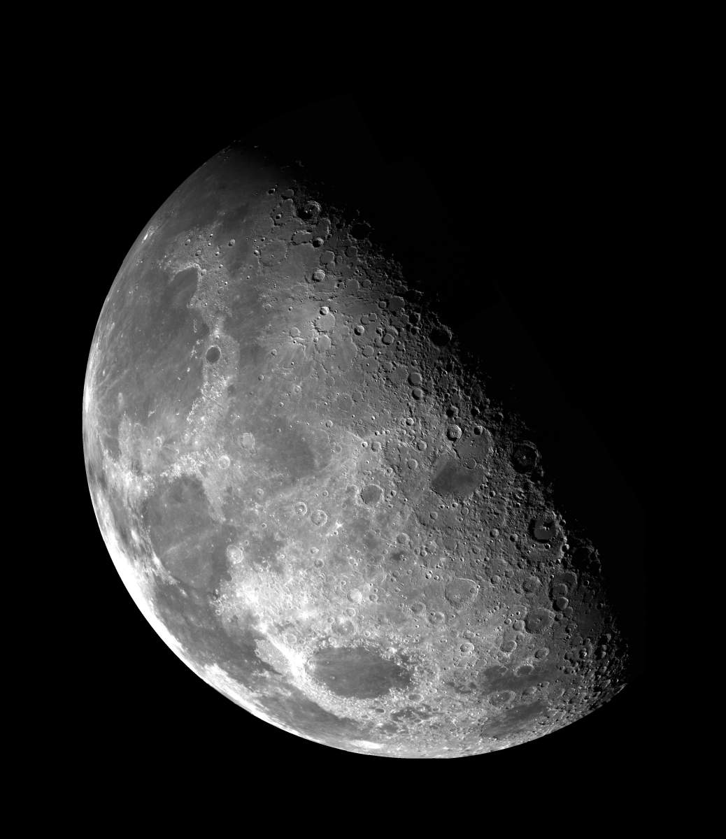
Lune.jpg
|
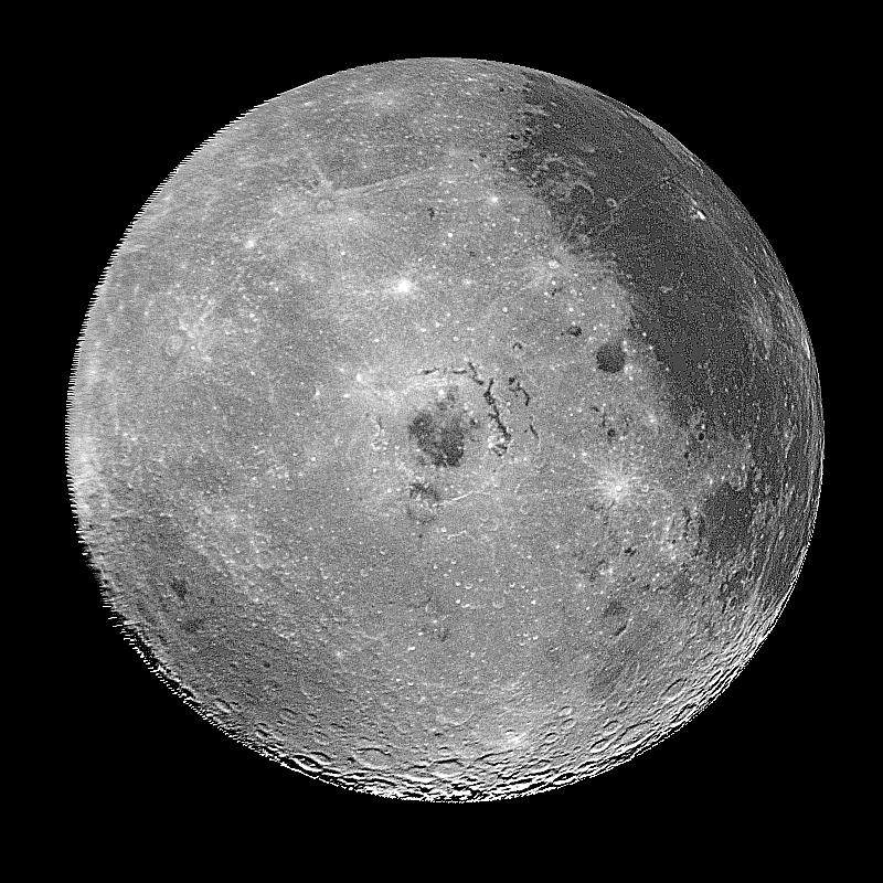
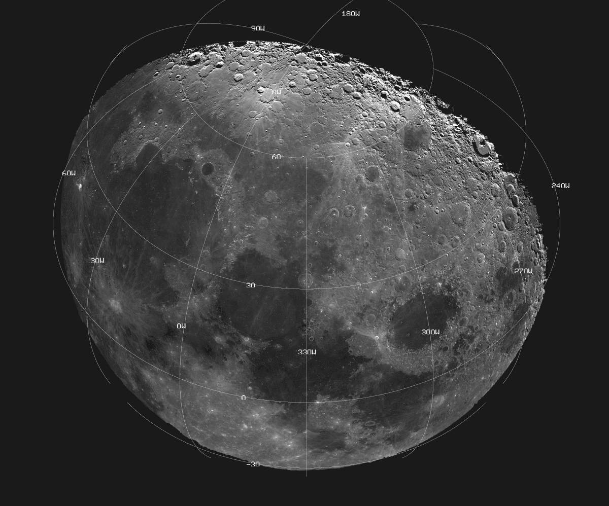
PIA00120: Moon - Western Hemisphere
|
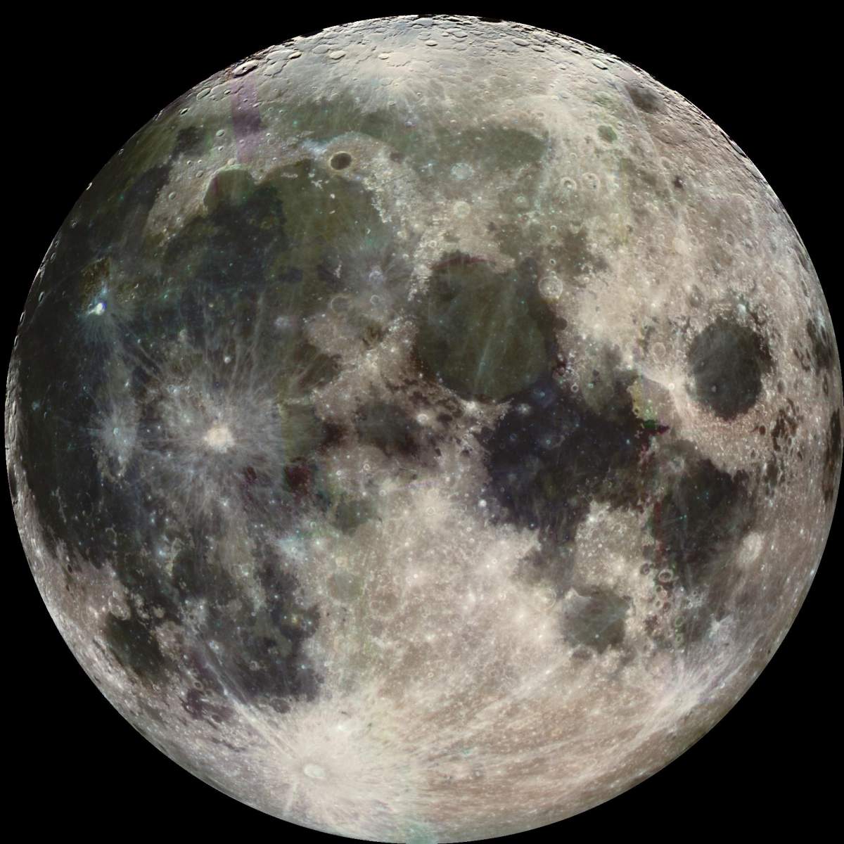
PIA00075: Moon Color Visualizations
|
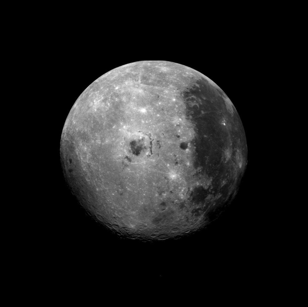
PIA02442: Moon's North Pole
|
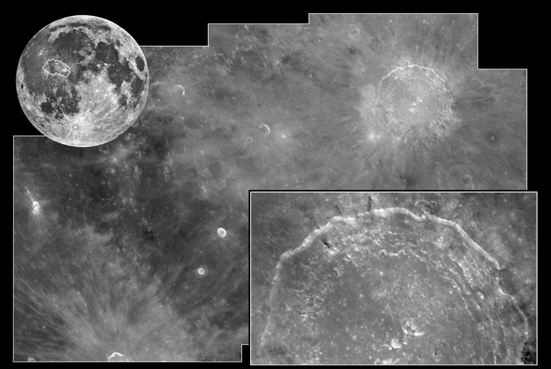
PIA01541: Crater Copernicus
|
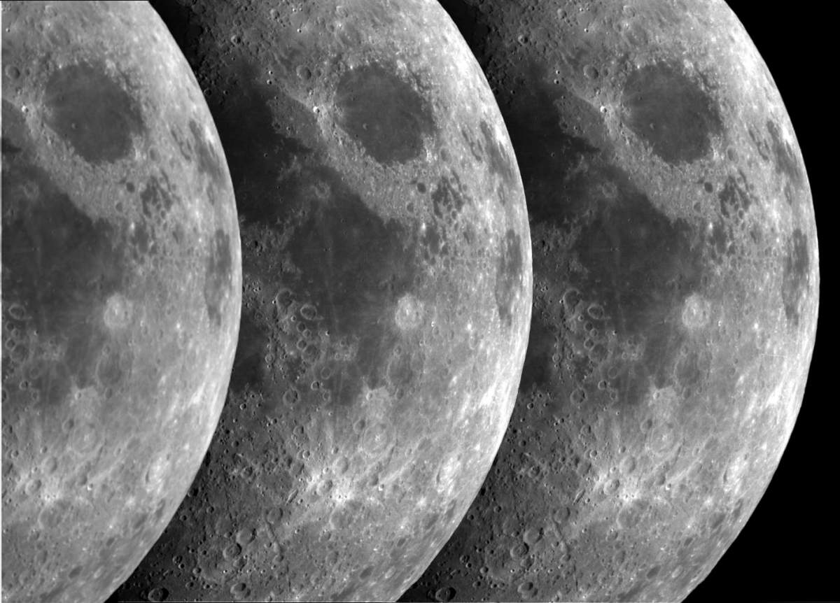
PIA02322: Triptych of the Moon
|
PIA00132: Moon - False Color Mosaic
|
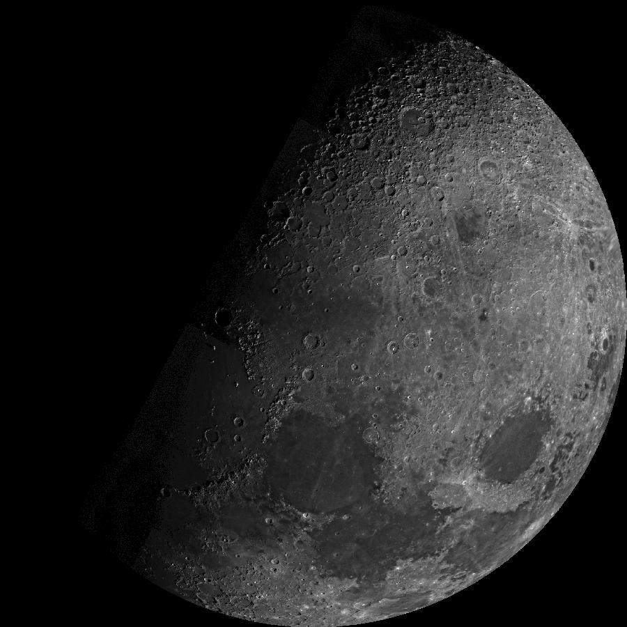
PIA00225: Far Side of the Moon
|
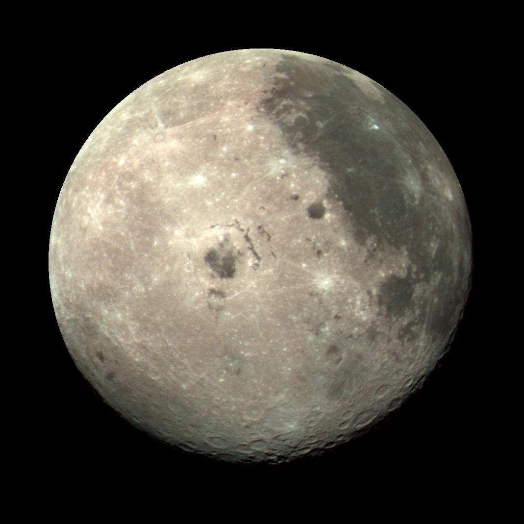
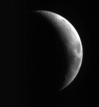
PIA00405: Earth's Moon
|
PIA02977: Photomosaic of Tycho Crater - Surveyor 7
|
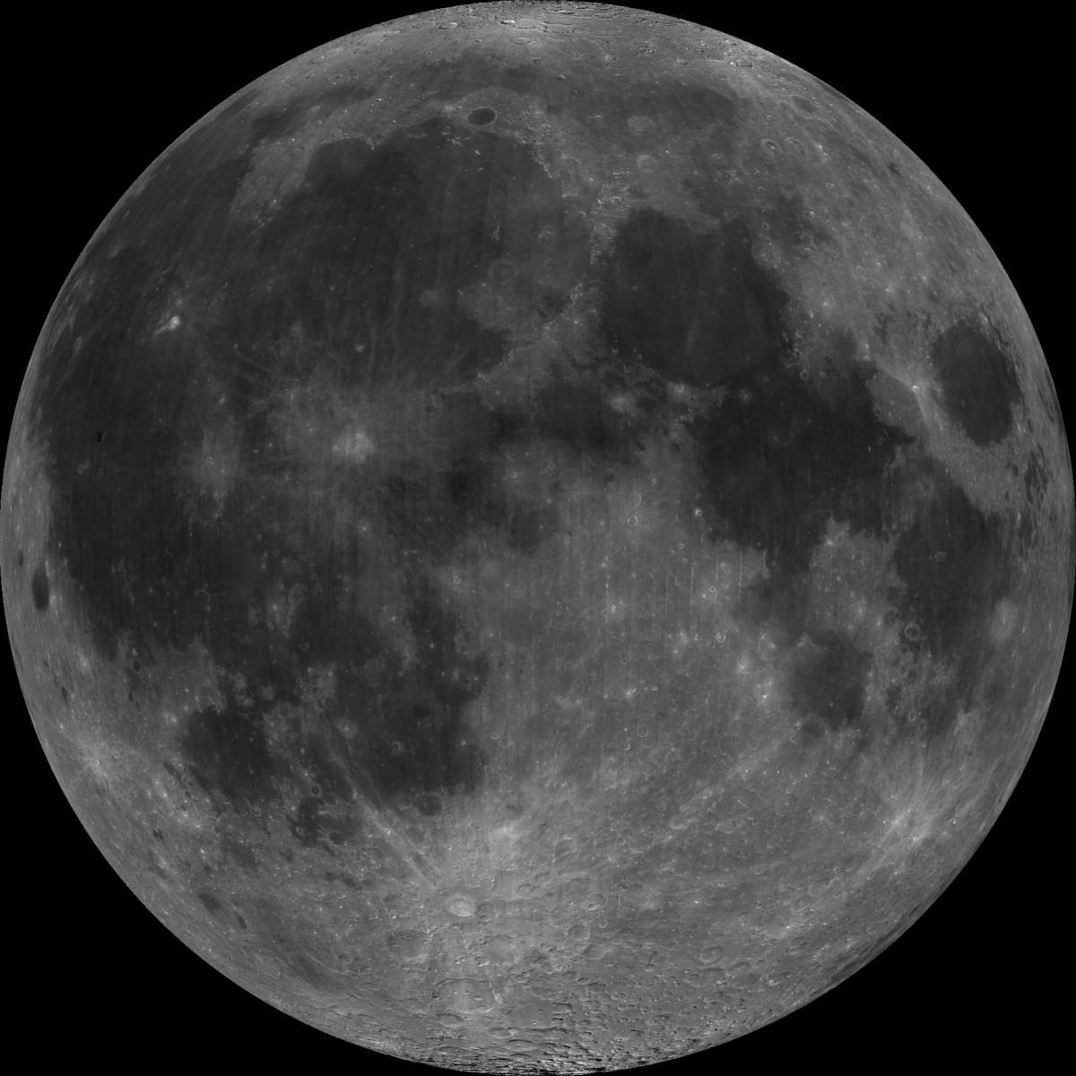
PIA08002: High-Resolution Mars Camera Test Image of Moon
|