

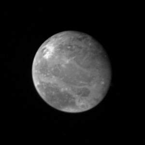
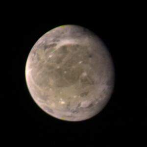
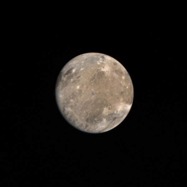
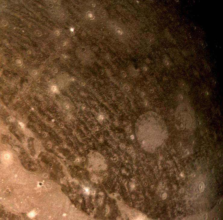
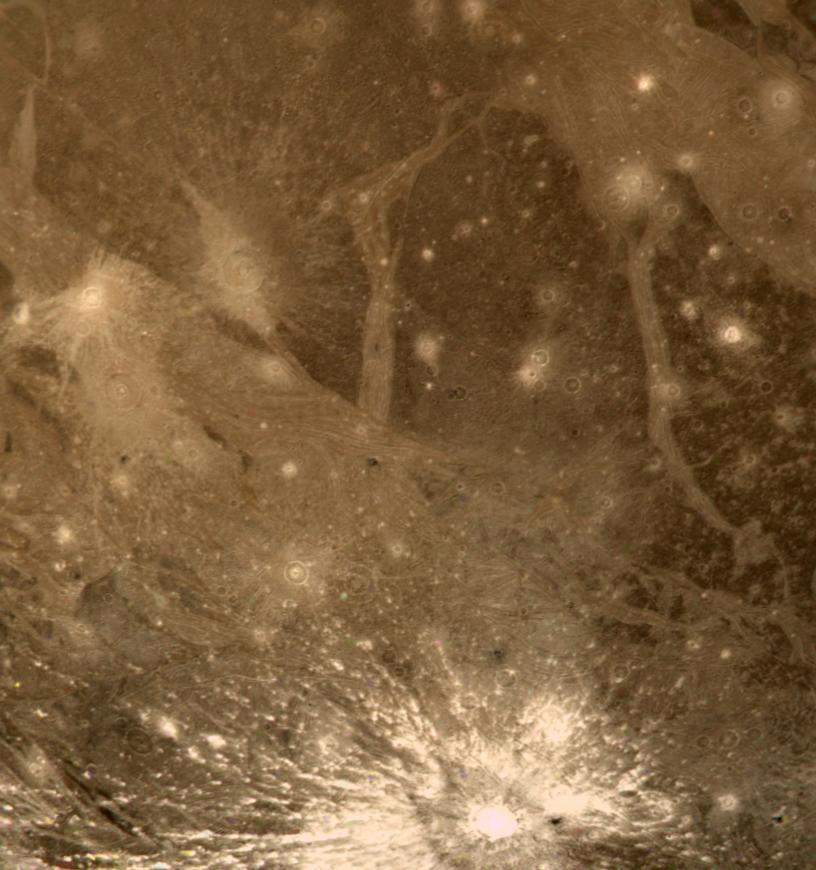
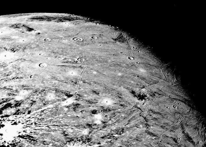
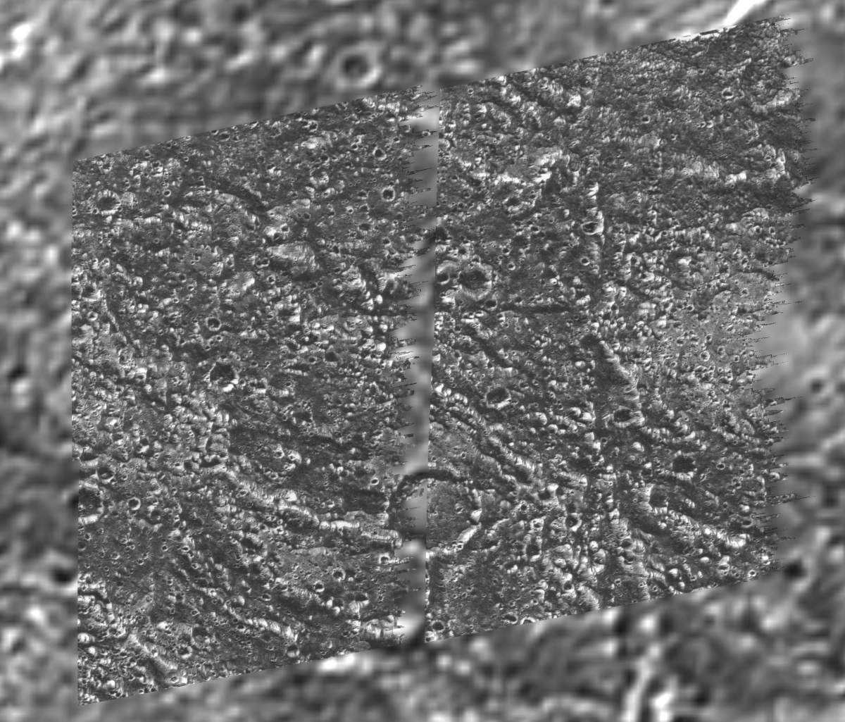
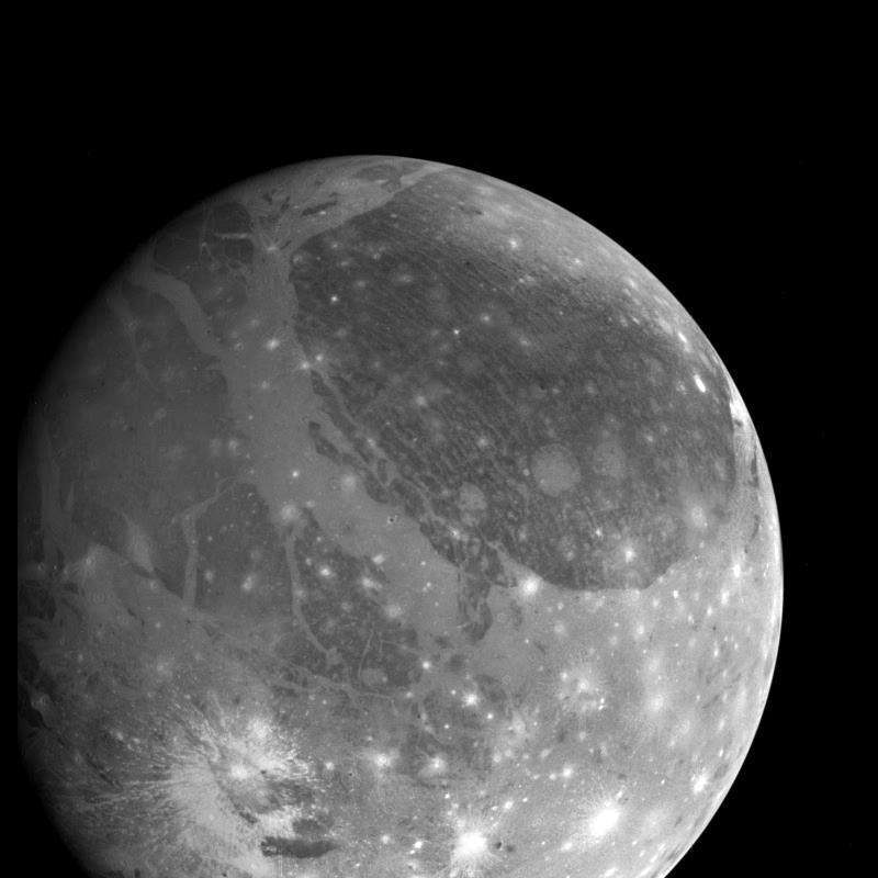
Galerie de photos de Ganymède, satellite galiléen de la planète Jupiter
004-05100-16high.jpg
|
Jupiter_Ganymede_2.jpg
|
Jupiter_Ganymede_3.jpg
|
PIA00081: Ganymede Mosaic
|
PIA00273: Optical Navigation Image of Ganymede
|
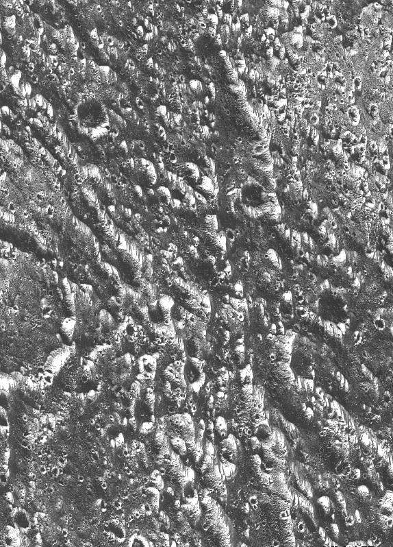
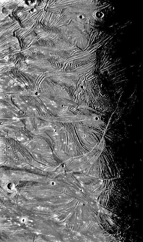
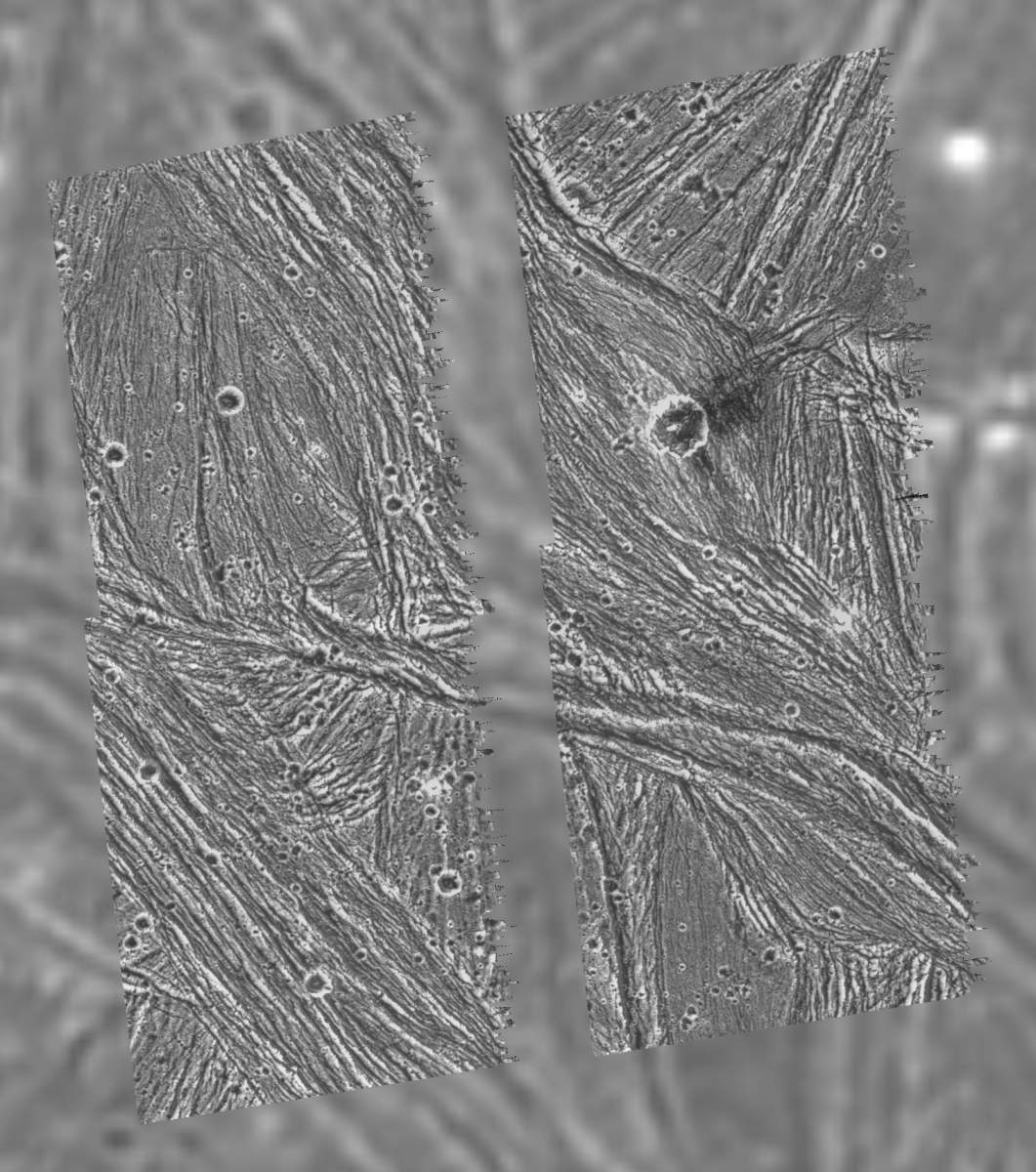
PIA00276: Ganymede - Ridges, Grooves, Craters and Smooth Areas of Uruk Sulcus Region
|
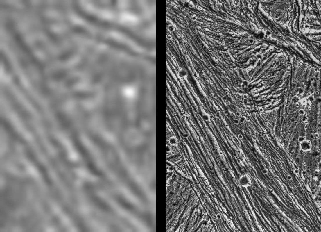
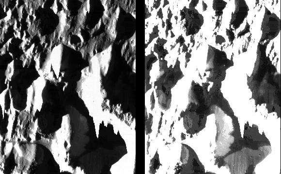
PIA00277: Ganymede - Comparison of Voyager and Galileo Resolution
|
PIA00278: Ganymede - Dark Terrain in Galileo Regio
|
PIA00279: Ganymede - Ancient Impact Craters in Galileo Regio
|
PIA00280: Ganymede - Mixture of Terrains and Large Impact Crater in Uruk Sulcus Region
|
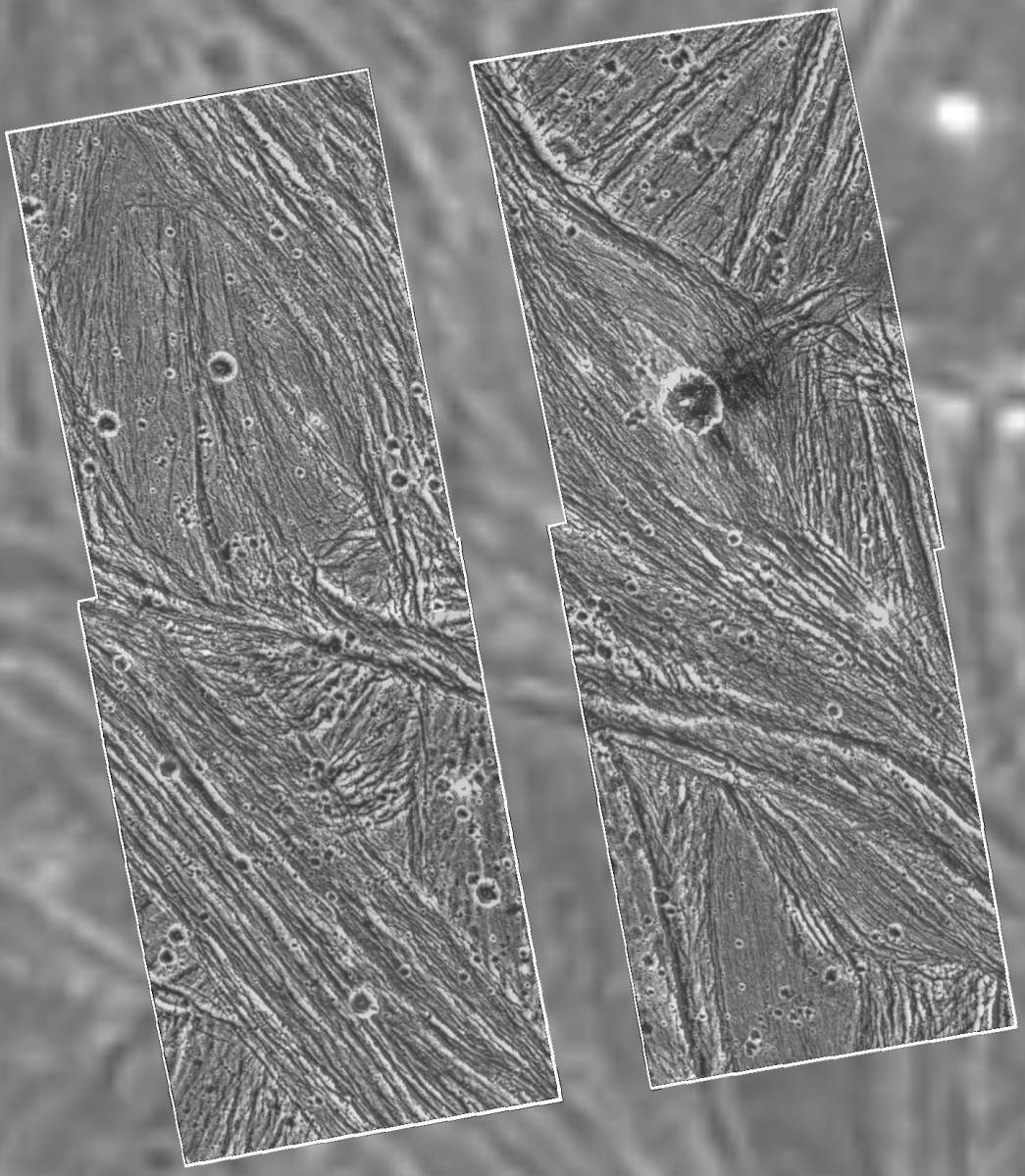
PIA00281: Ganymede - Galileo Mosaic Overlayed on Voyager Data in Uruk Sulcus Region
|
PIA00334: Crater Rays on Ganymede
|
PIA00351: Ganymede at 2.6 million miles
|
PIA00352: Ganymede at 3.4 million miles
|
PIA00353: Ganymede Full Disk
|
PIA00354: Ganymede at 87,000 miles
|
PIA00356: Ganymede's Northern Hemisphere
|
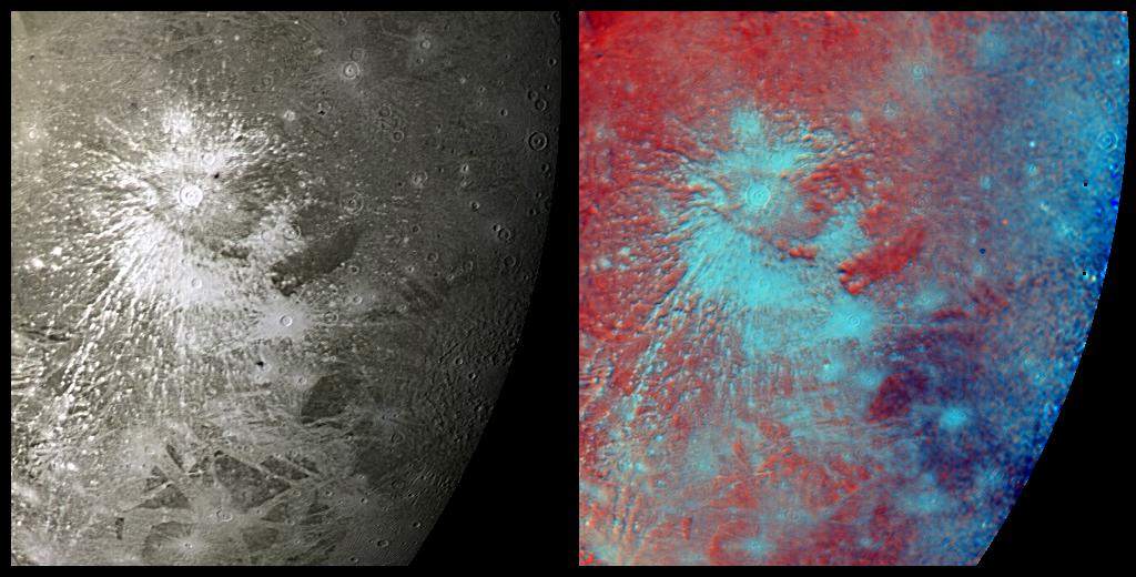
PIA00357: Bright Halo Impact Crater on Ganymede
|
PIA00380: Ganymede At 150,000 Miles
|
PIA00492: Galileo Regio Mosaic - Galileo over Voyager Data
|
PIA00493: Uruk Sulcus Mosaic - Galileo over Voyager Data
|
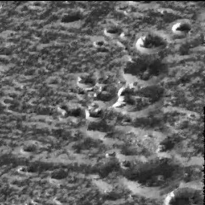
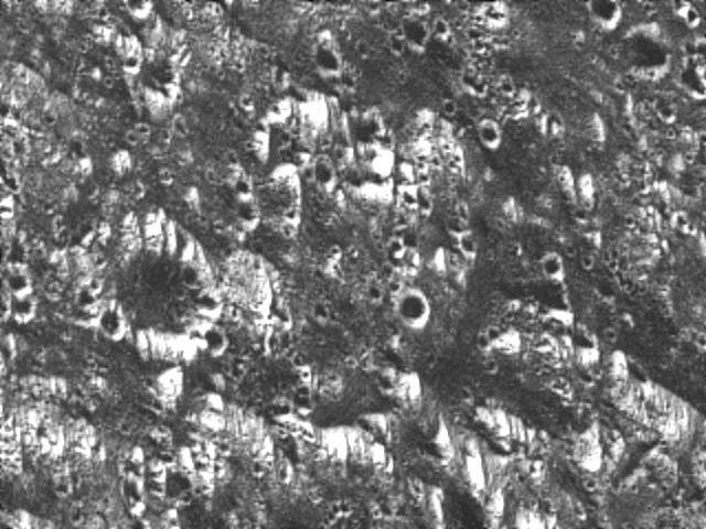
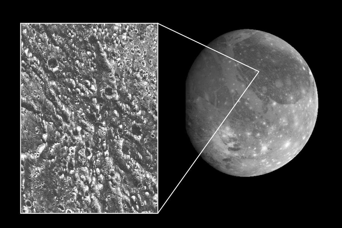
PIA00496: Ice-frosted crater tops on Ganymede
|
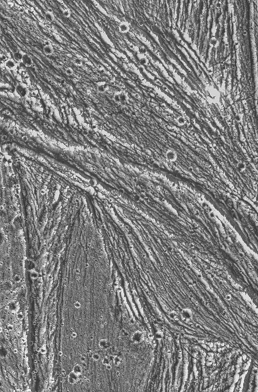
PIA00497: Ganymede's Nippur Sulcus
|
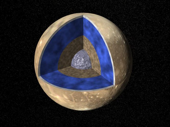
PIA00519: Ganymede G1 & G2 Encounters - Interior of Ganymede
|
PIA00521: Stereo View of Ganymede's Galileo Region
|
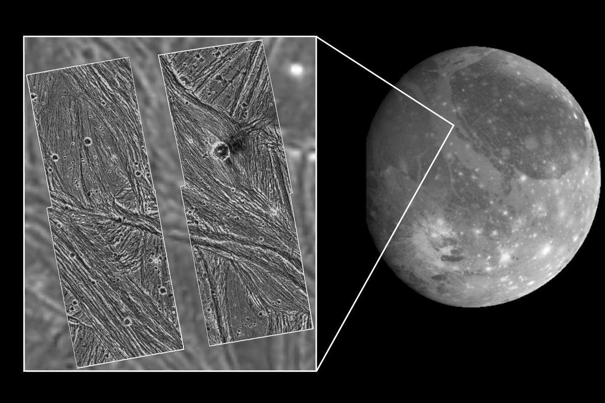
PIA00579: Ganymede Uruk Sulcus High Resolution Mosaic Shown in Context
|
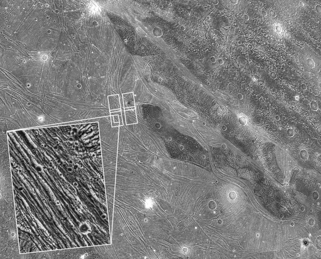
PIA00580: Ganymede Galileo Regio High Resolution Mosaic Shown in Context
|
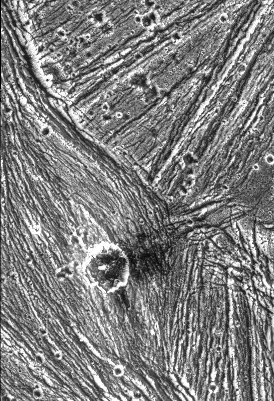
PIA00705: Detail of Ganymede's Uruk Sulcus Region as Viewed by Galileo and Voyager
|
PIA00706: Ganymede Global
|
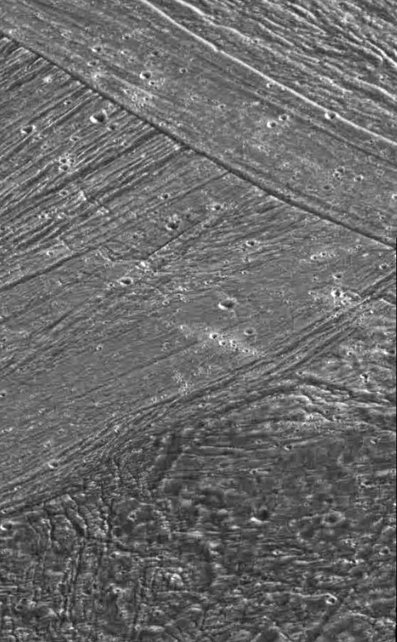
PIA00707: Fine Details of the Icy Surface of Ganymede
|
Page 1 de 4
- 1
- 2
- 3
- 4
- Suivante
- Dernière »