

Galerie de photos de Europe, satellite galiléen de la planète Jupiter
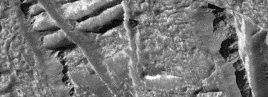
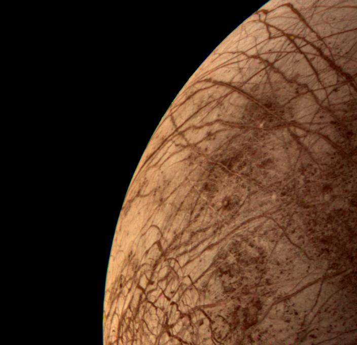
Jupiter_Europe_2.jpg
|
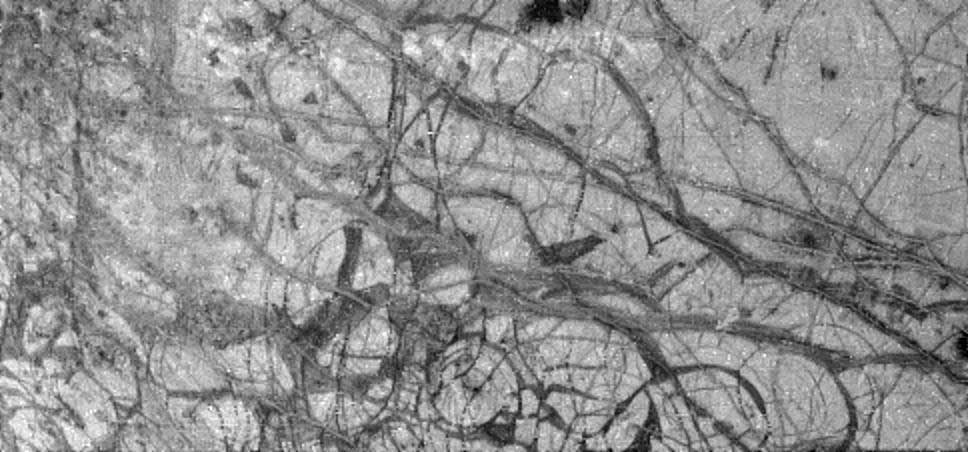
Jupiter_Europe_3.jpg
|
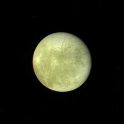
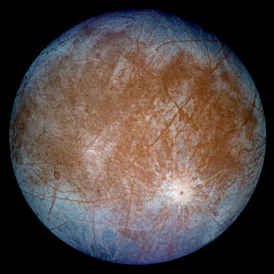
PIA00016: Europa - Full Disk
|
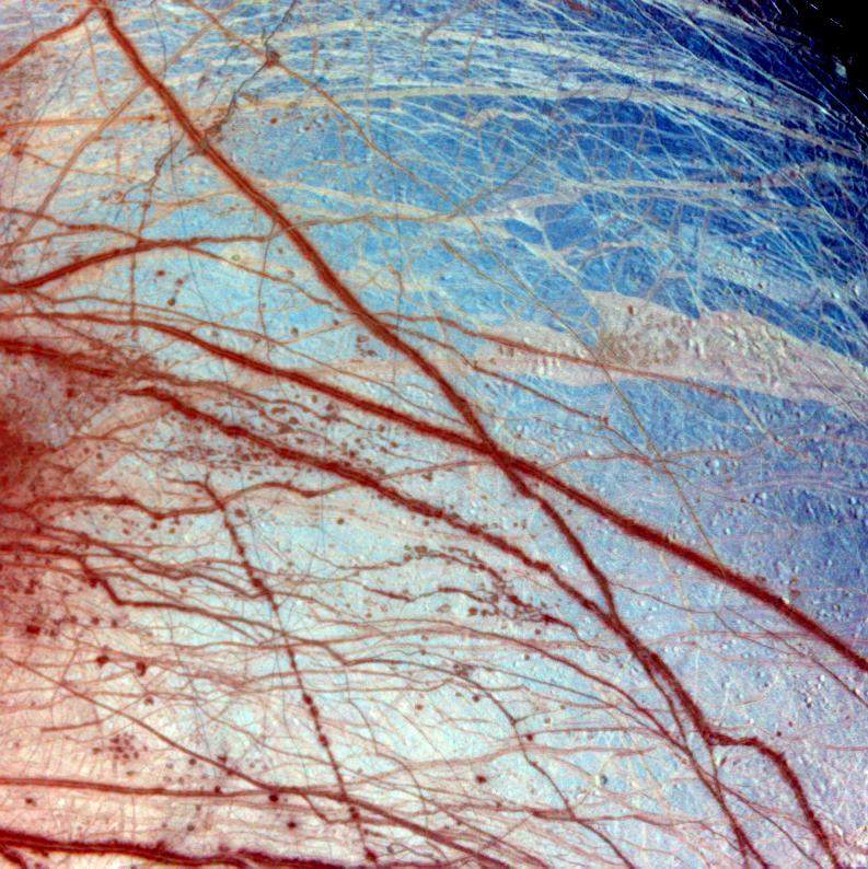
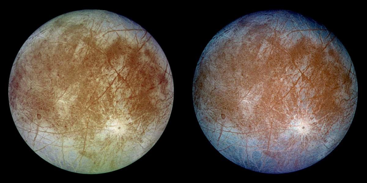
PIA00275: Europa In Color
|

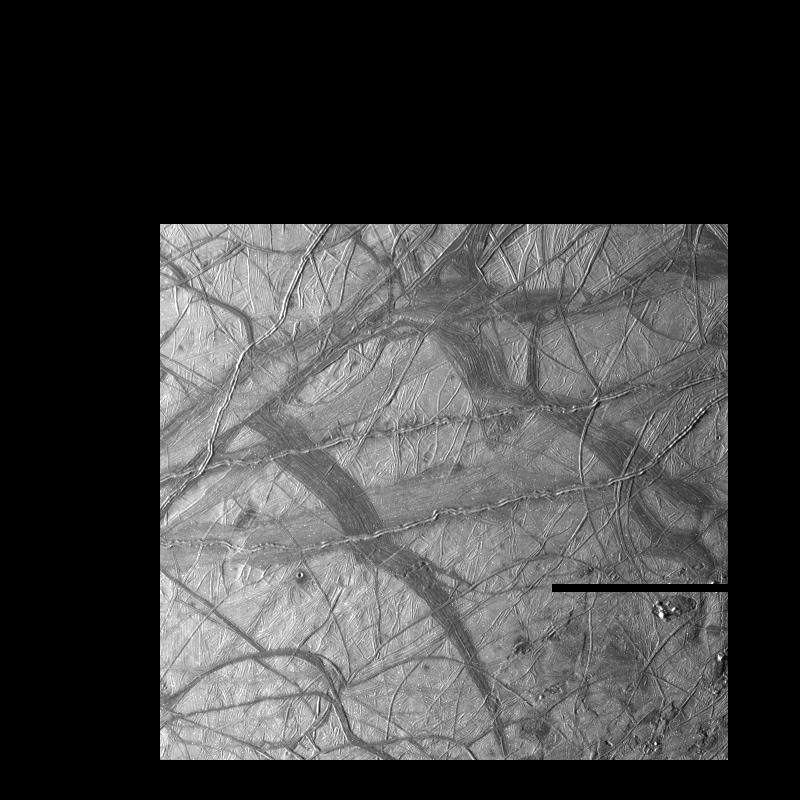
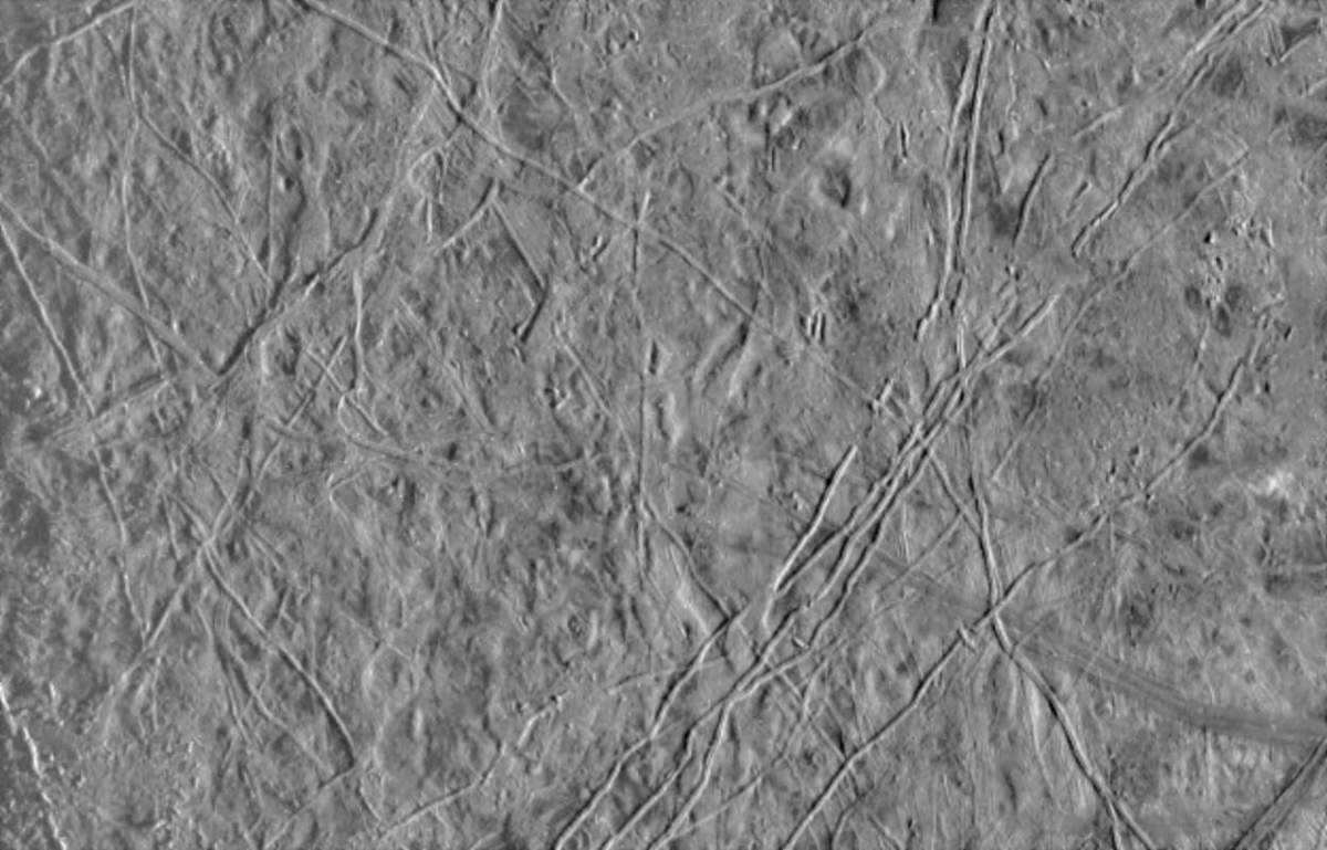
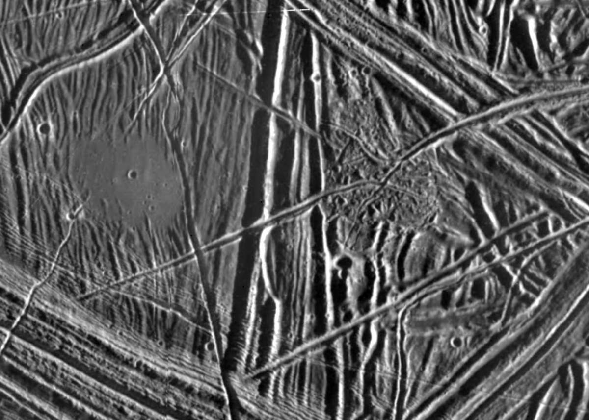
PIA00291: Europa's Broken Ice
|
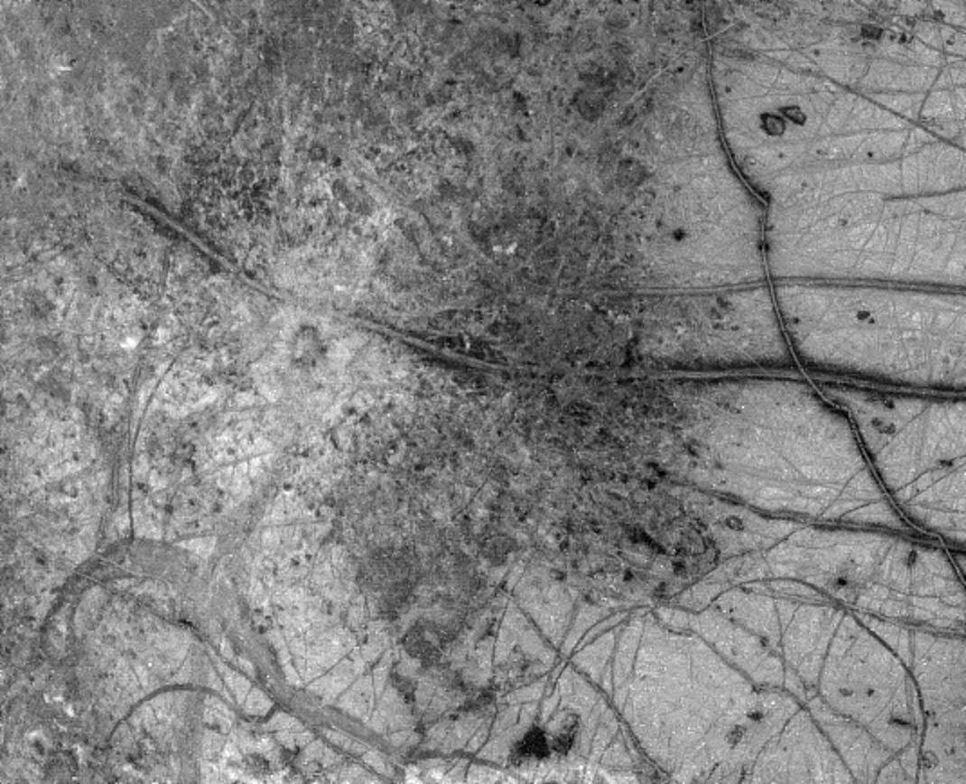
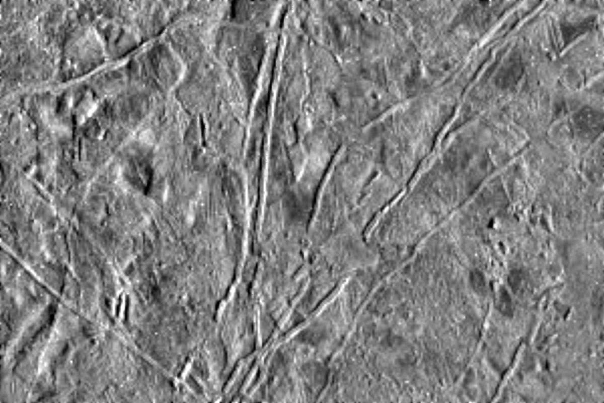
PIA00294: Europa's Active Surface
|
PIA00295: Dark Bands on Europa
|
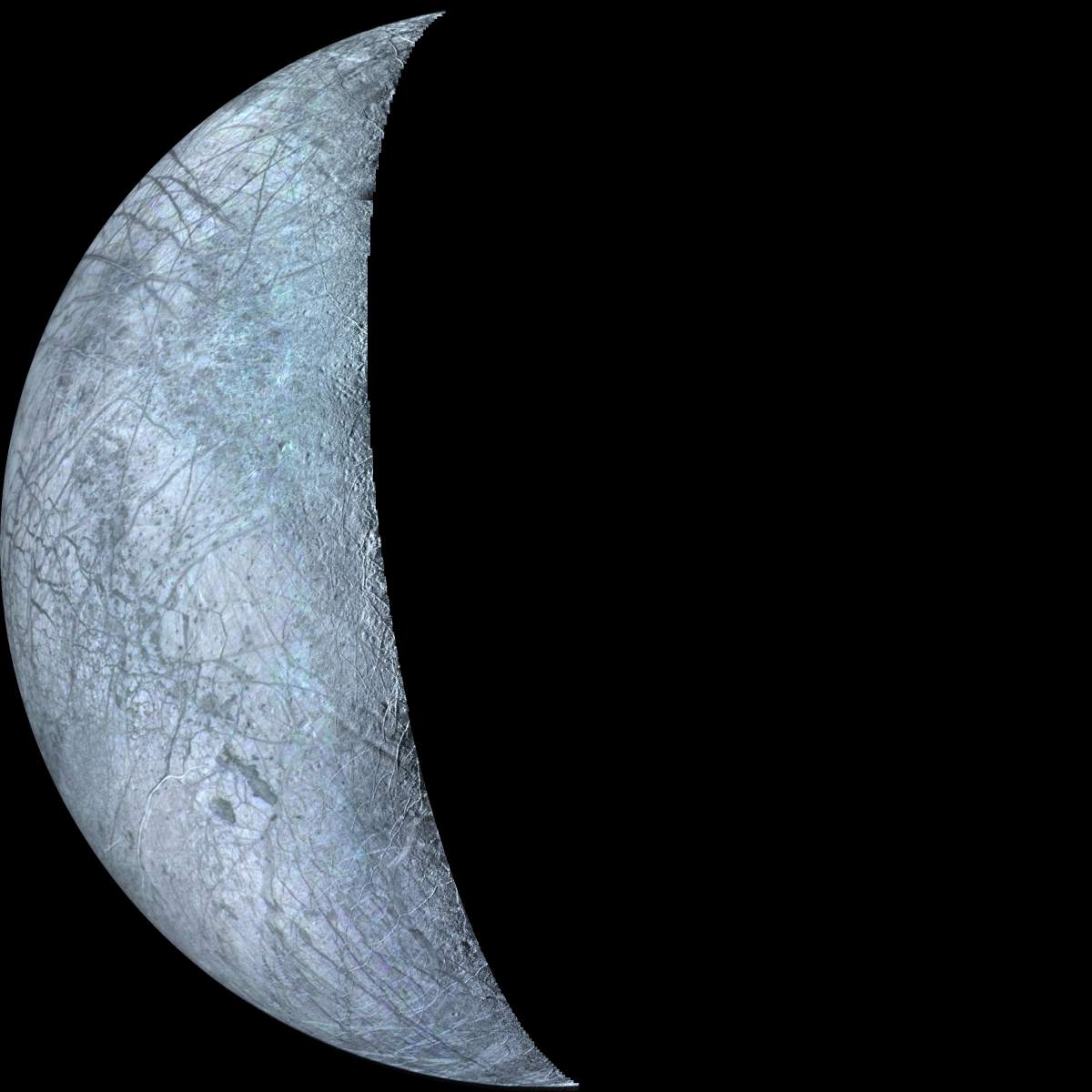
PIA00325: Europa Crescent
|
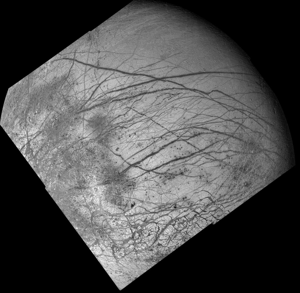
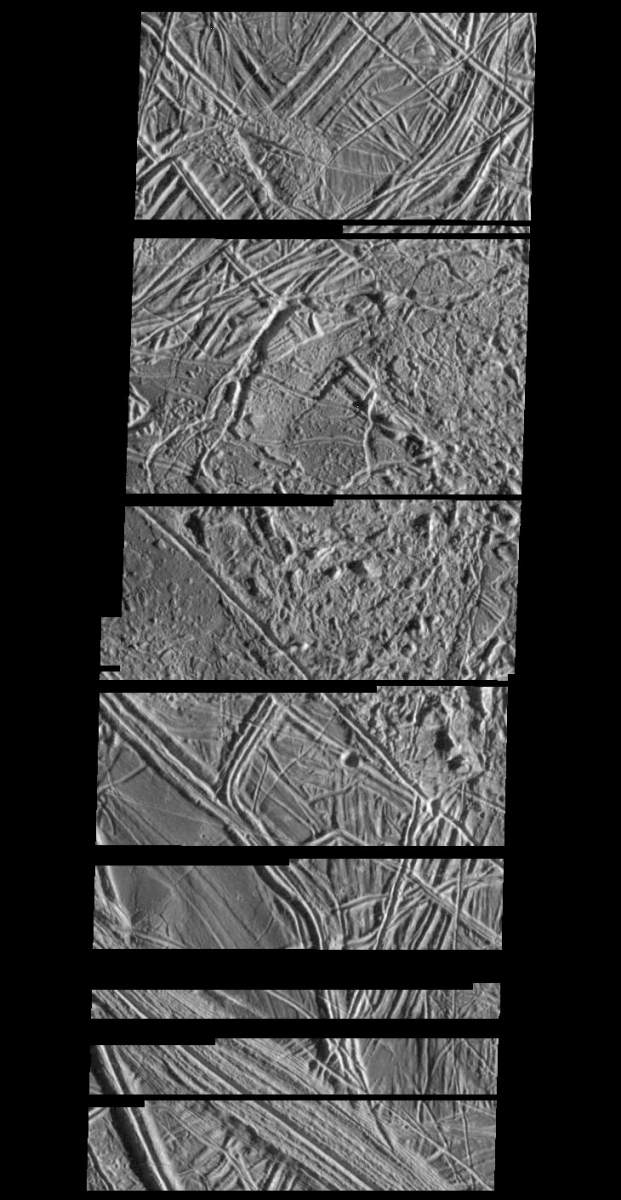
PIA00366: Europa - Mosaic
|
PIA00459: Europa During Voyager 2 Closest Approach
|
PIA00502-bis.jpg
|
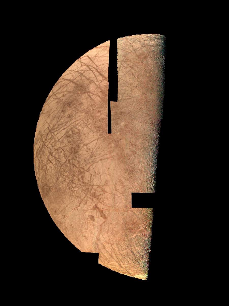
PIA00502: Natural and False Color Views of Europa
|
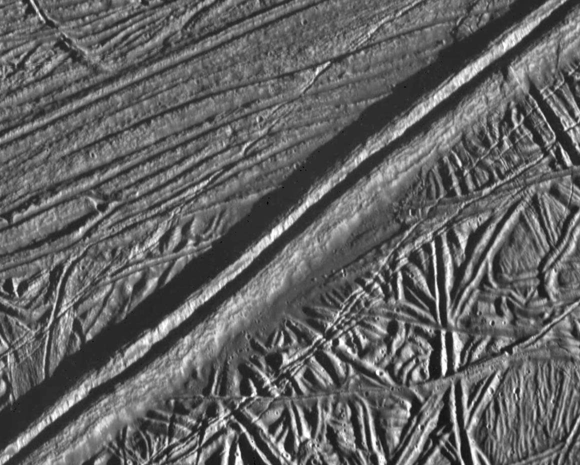
PIA00518: Ridges on Europa
|
PIA00539: Jupiter's Icy Satellite Europa
|
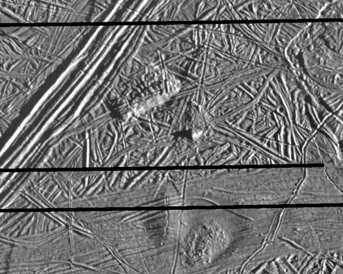
PIA00540: Flows on Europa
|
PIA00541: Macula on Europa
|
PIA00542: Prominent Doublet Ridges on Europa
|
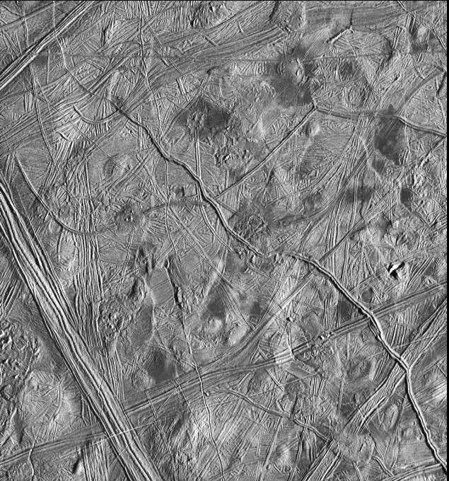
PIA00543: Structurally Complex Surface of Europa
|
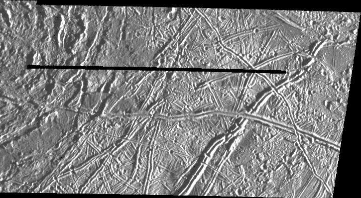
PIA00544: Ridges on Europa
|

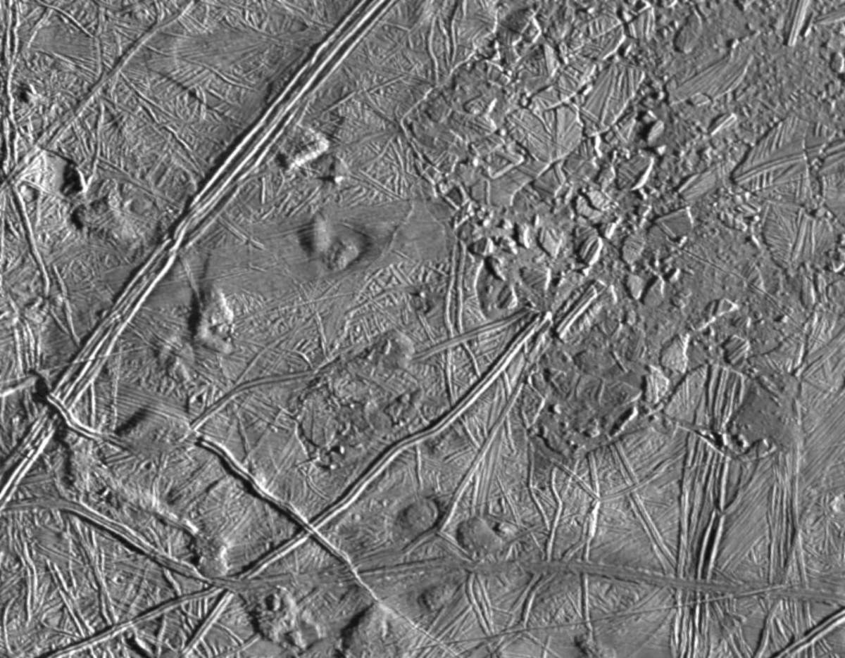
PIA00578: Europa Ice Floes
|
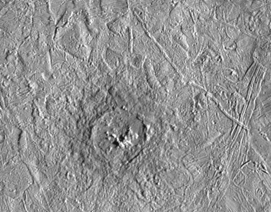
PIA00586: Pwyll Crater on Europa
|
PIA00587: Close-up of Europa's Trailing Hemisphere
|
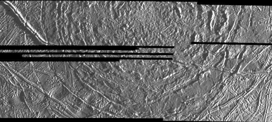
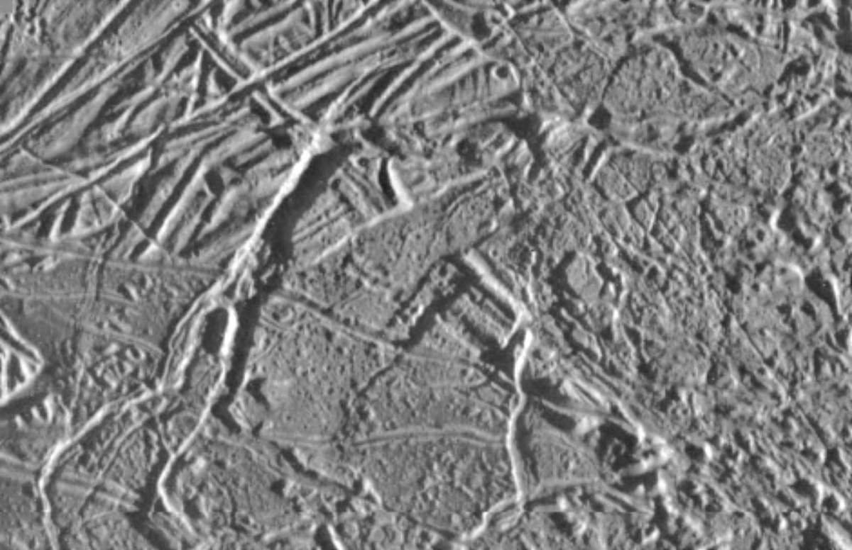
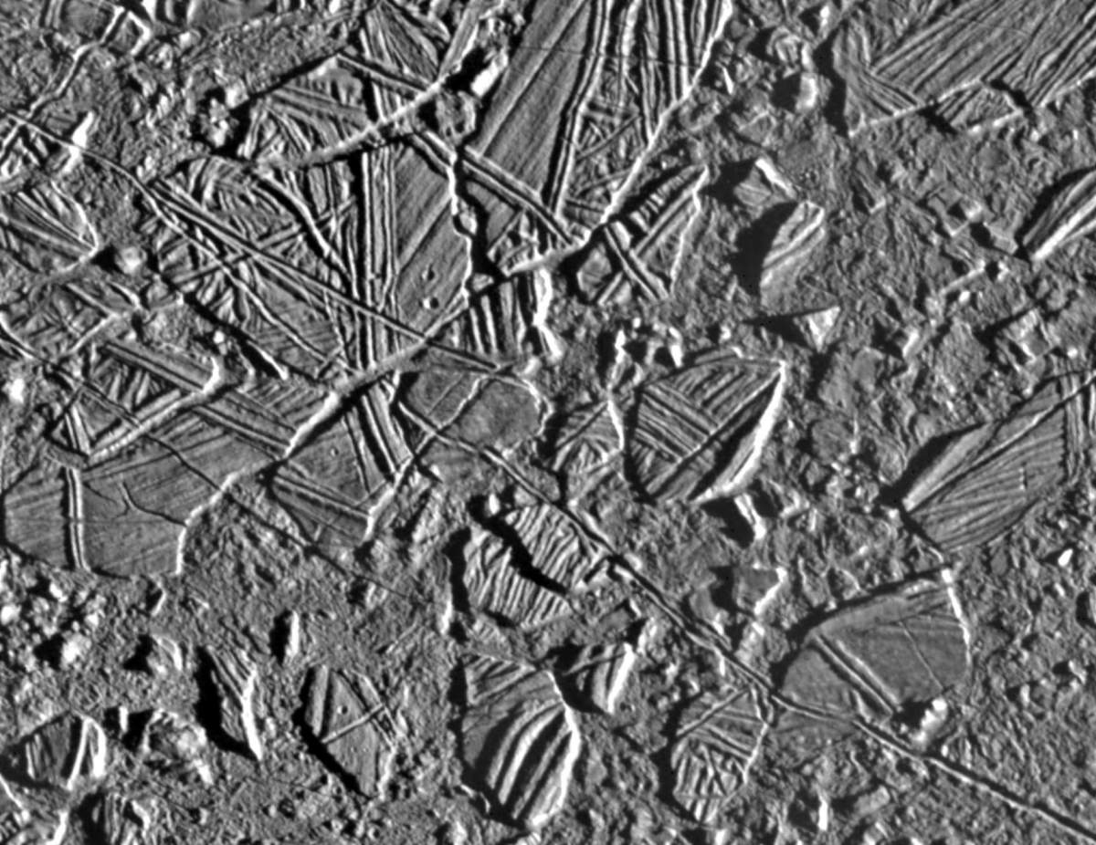
PIA00588: Europa Ridges, Hills and Domes
|
PIA00589: Mosaic of Europa's Ridges, Craters
|
PIA00590: Europa Triple Band
|
PIA00591: Europa Ice Rafts
|
PIA00592: Close-up of Europa's Surface
|
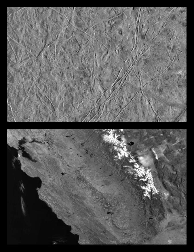
PIA00595: Icy Europa and similar scales on Earth
|
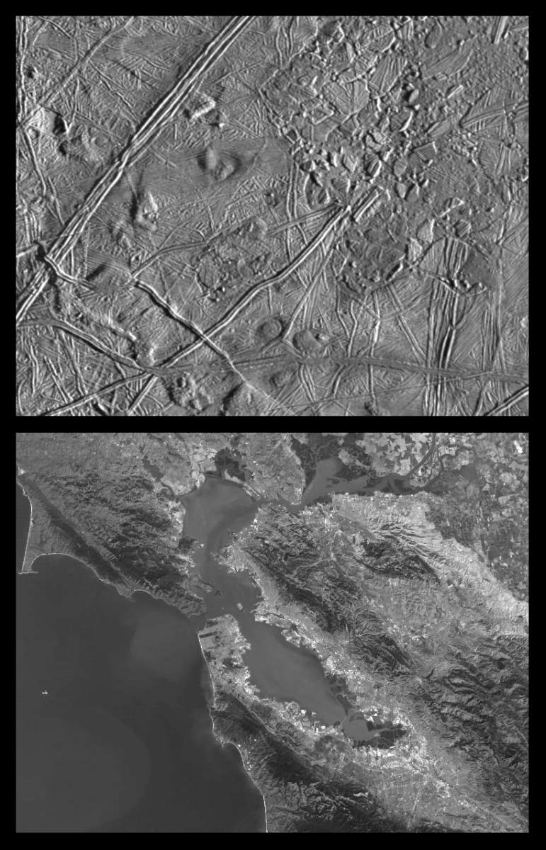
PIA00596: Close-up of Europa's Trailing Hemisphere and similar scales on Earth
|
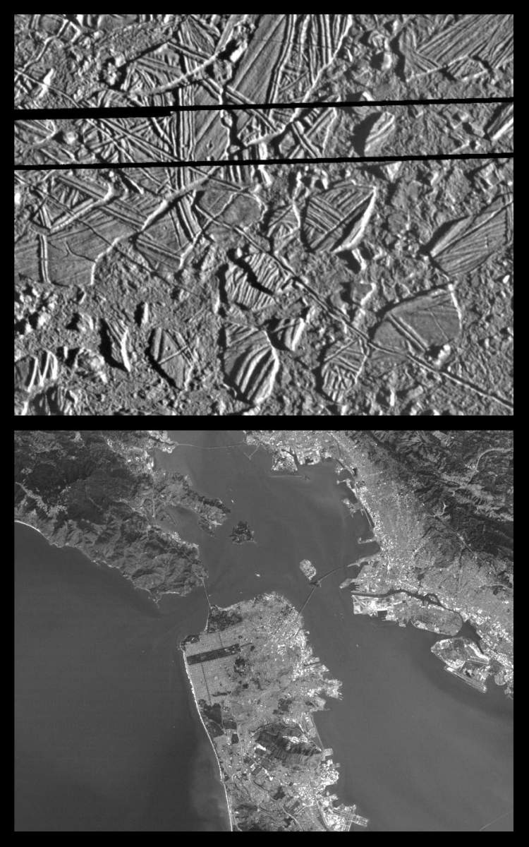
PIA00597: Europa Ice Rafts and similar scales on Earth
|
Page 1 de 4
- 1
- 2
- 3
- 4
- Suivante
- Dernière »