

Galerie de photos de Titan, satellite de la planète Saturne
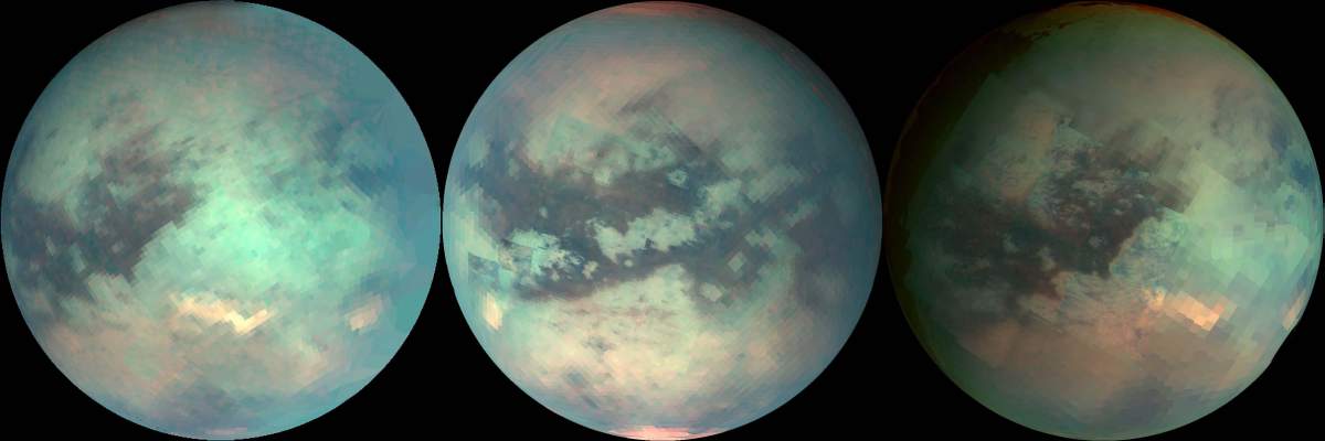
PIA02145: Mapping Titan's Changes
|

PIA08953: High Altitude Hints
|
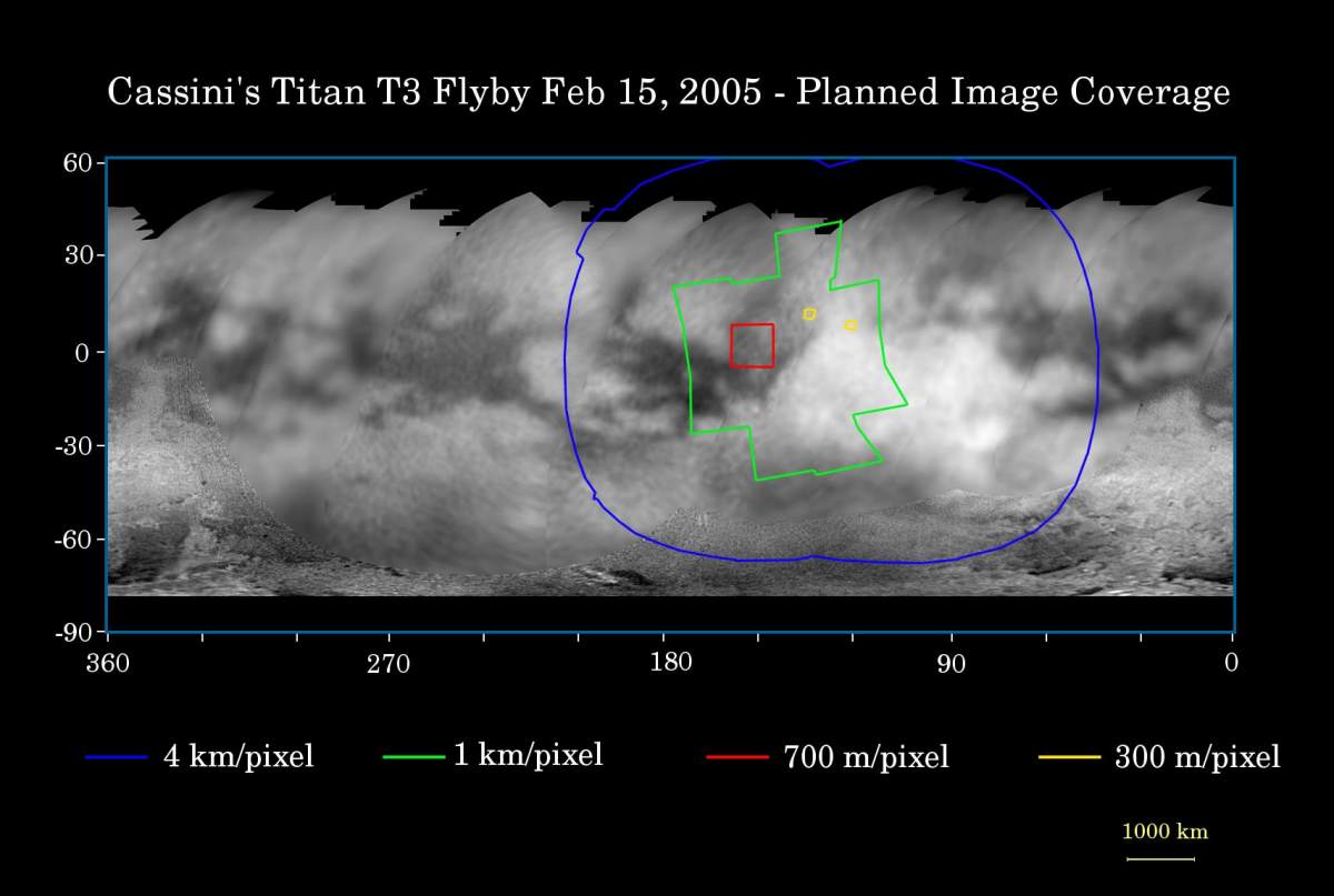
PIA06178: Titan Flyby Number Four
|

PIA00733: Titan's Brighter Southern Hemisphere
|
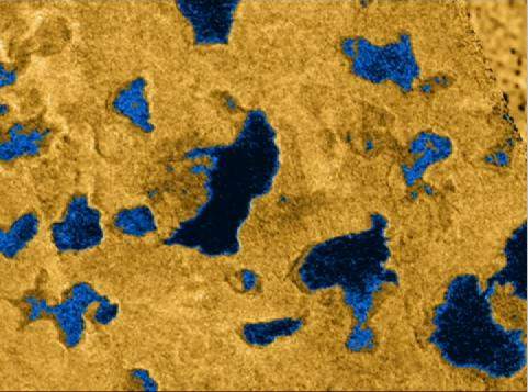
PIA09183: Radar Shows Evidence of Seas
|
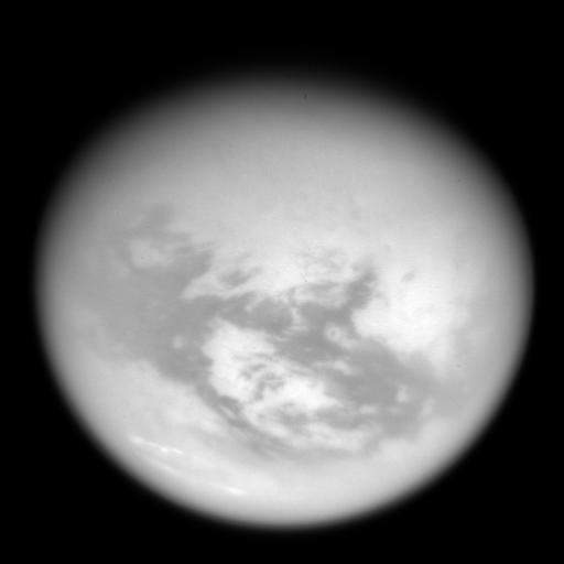
PIA08966: Weather Without Water
|
Saturne_Titan_Huygens_3.jpg
|
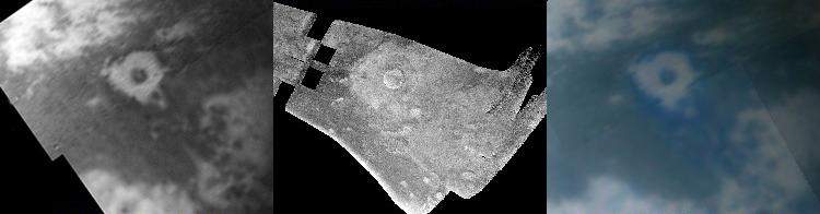
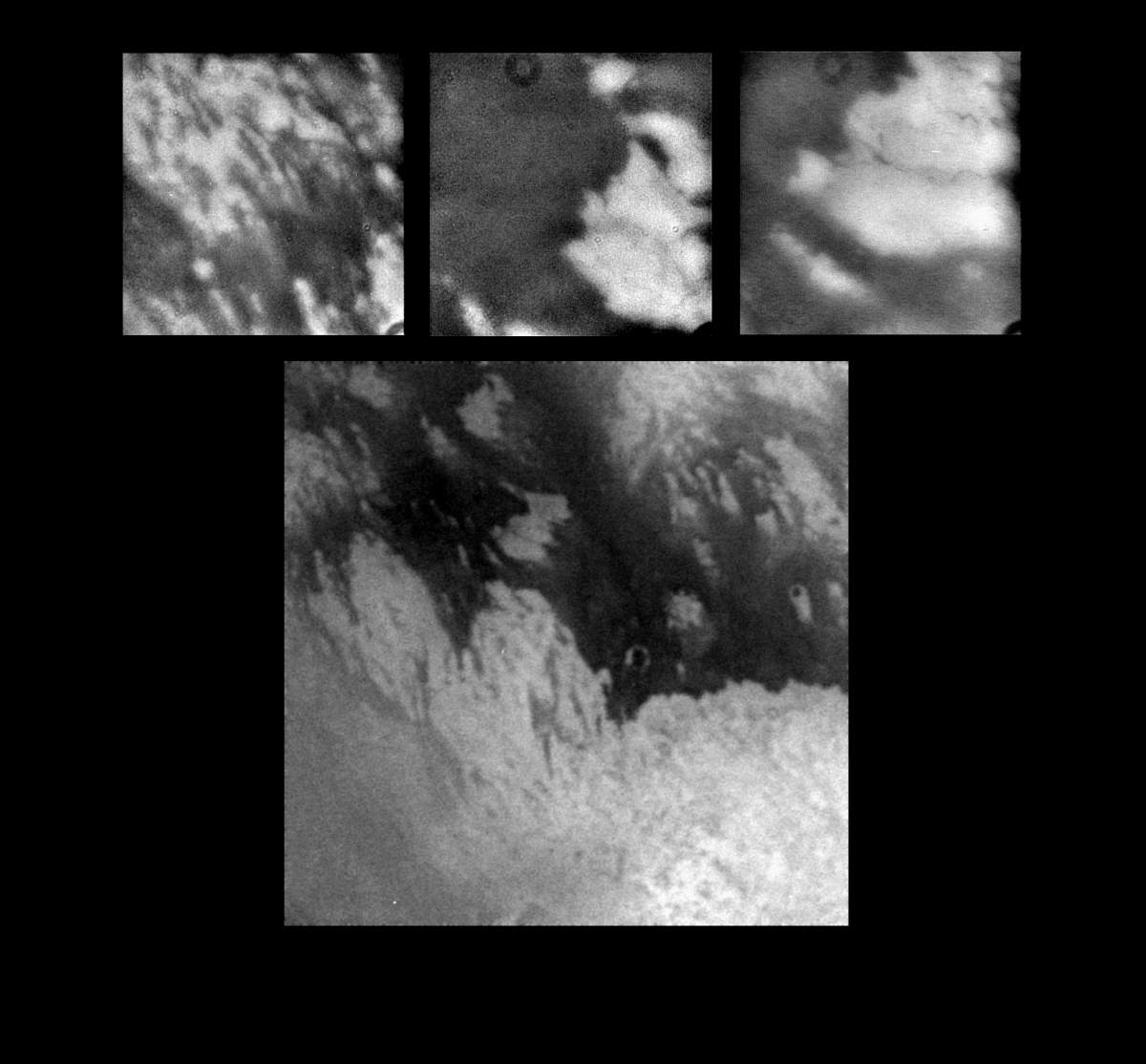
PIA07868: Titan Crater in Three Views
|

PIA08346: Map of Titan - December 2006
|
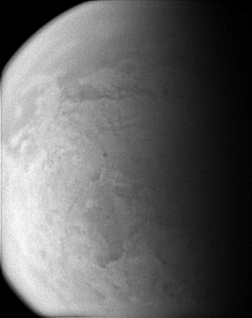
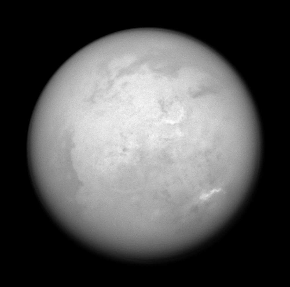
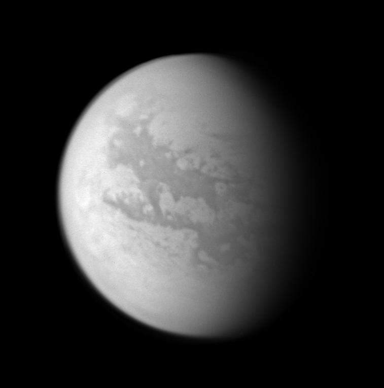
PIA08893: Murky World
|
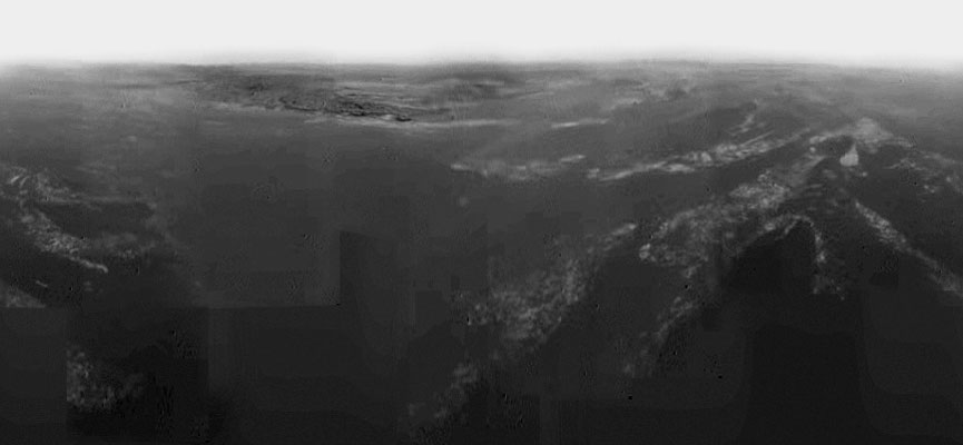
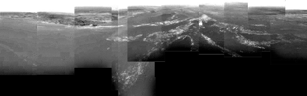
PIA07234: Descent Through Clouds to Surface
|
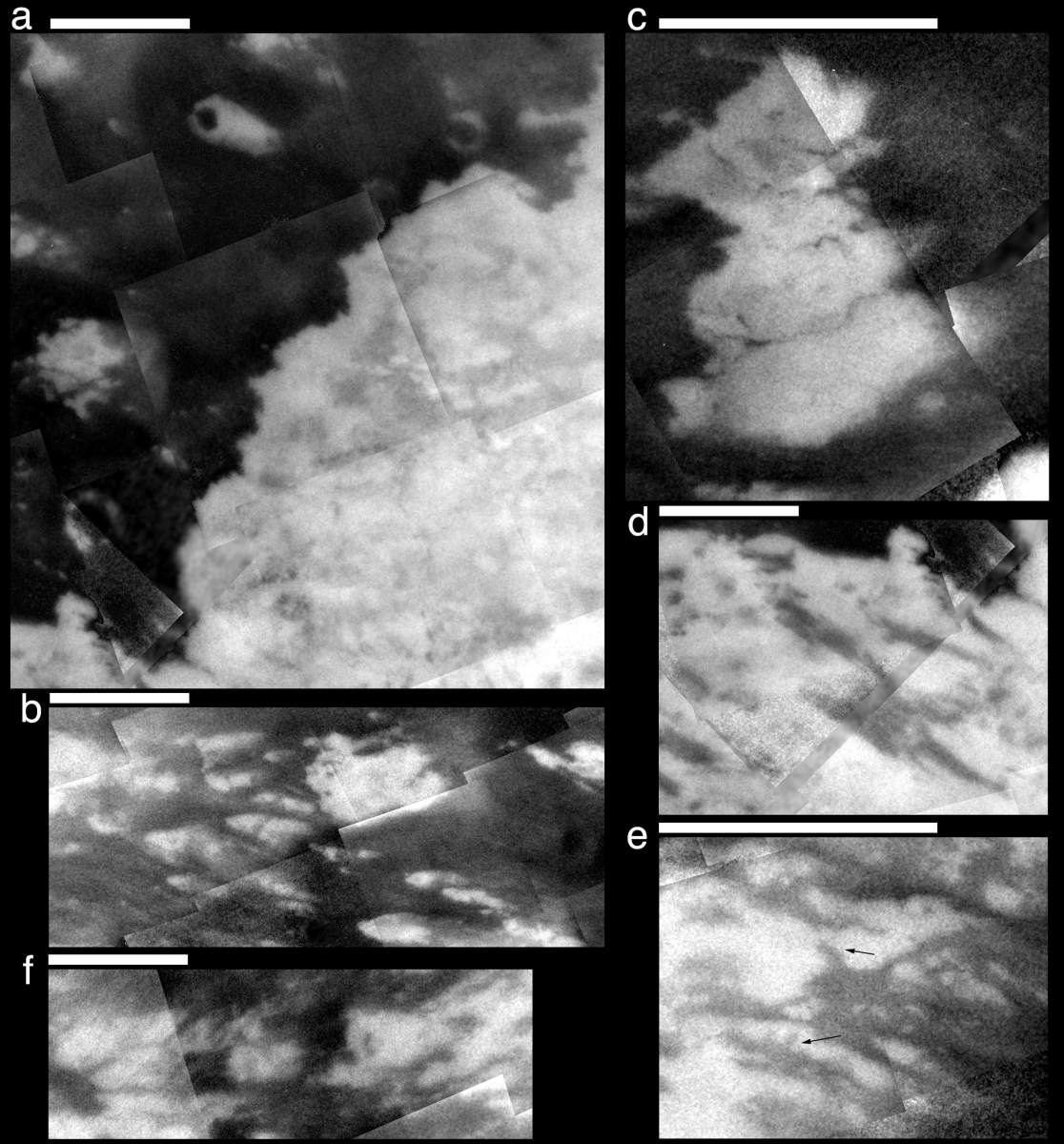
PIA07542: Clues in the Bright and Dark
|

PIA06988: Diversity on Titan
|
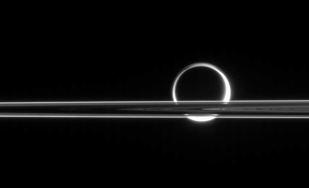
PIA08219: Rings Occulting Titan
|
PIA07233: First 'Best-Guess' View of Huygens Landing Site
|
Saturne_Titan_Huygens_4.jpg
|
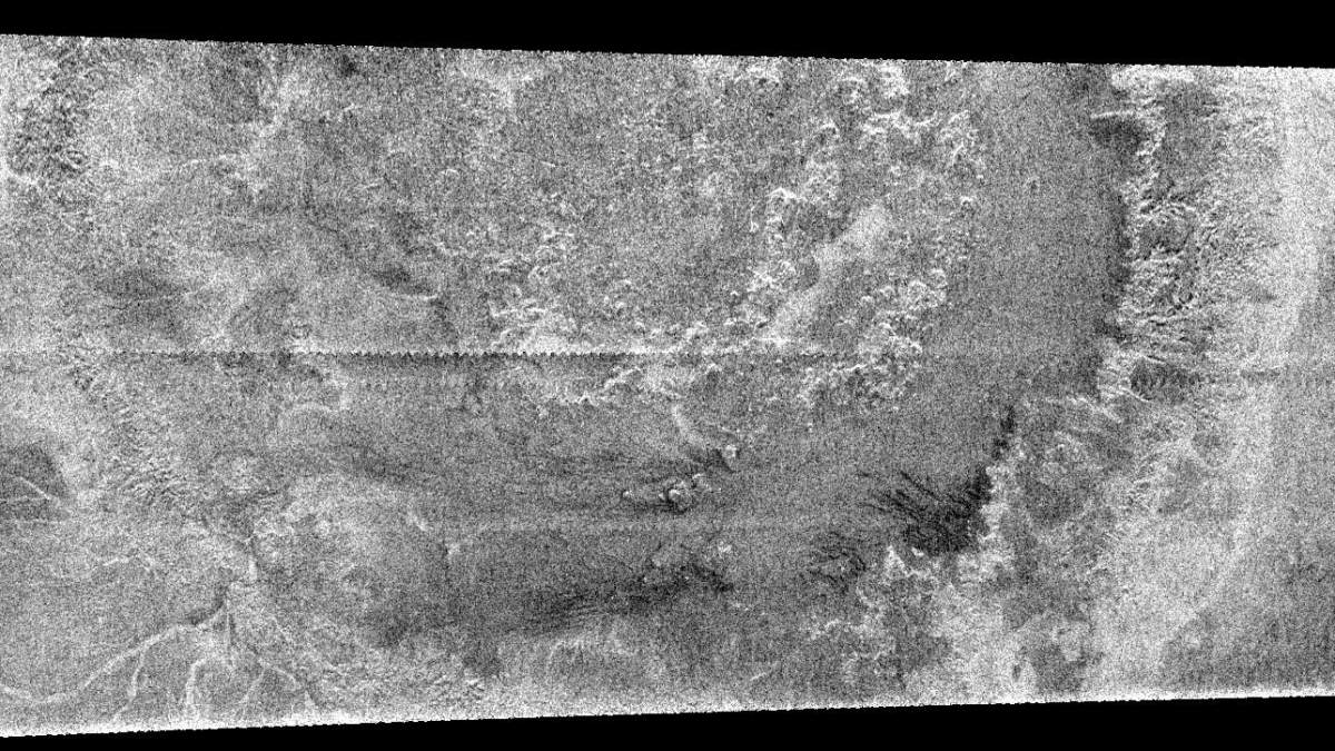
PIA08604: Xanadu's Meandering Rivers
|
PIA06136: Huygen's Landing Site
|
PIA07365: Circus Maximus
|
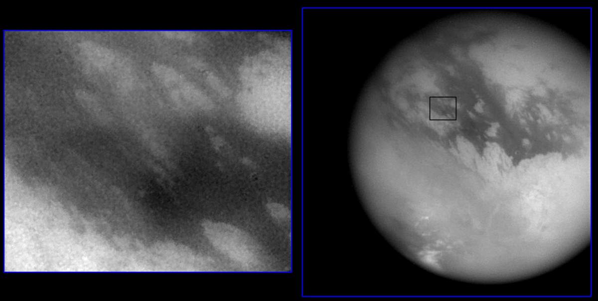
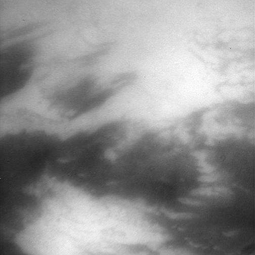
PIA09859: High Cloud, Low Cloud
|
PIA06138: Titan Close-Ups
|
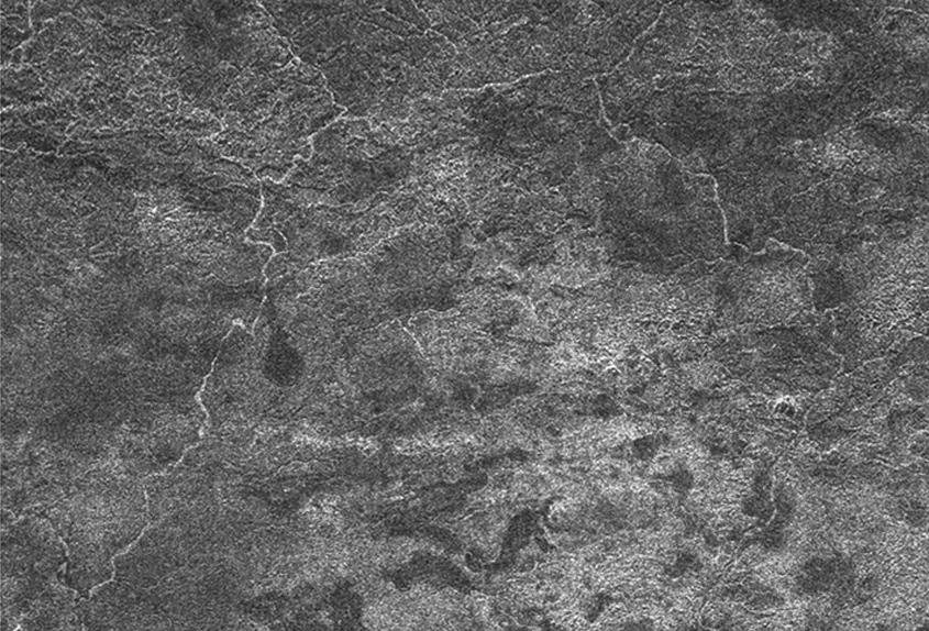
PIA09112: Titan (T16) Viewed by Cassini's Radar - July 22, 2006
|
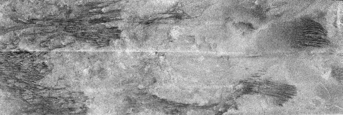
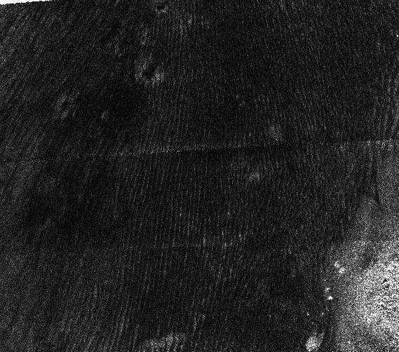
PIA07009: Cat Scratches
|
PIA08968: Strange New World
|
PIA06228: Cassini's Views of Titan: Monochrome View
|
PIA09115: Titan Dunes over Possible Craters (T23)
|

PIA06192: Zoomed in Xanadu
|
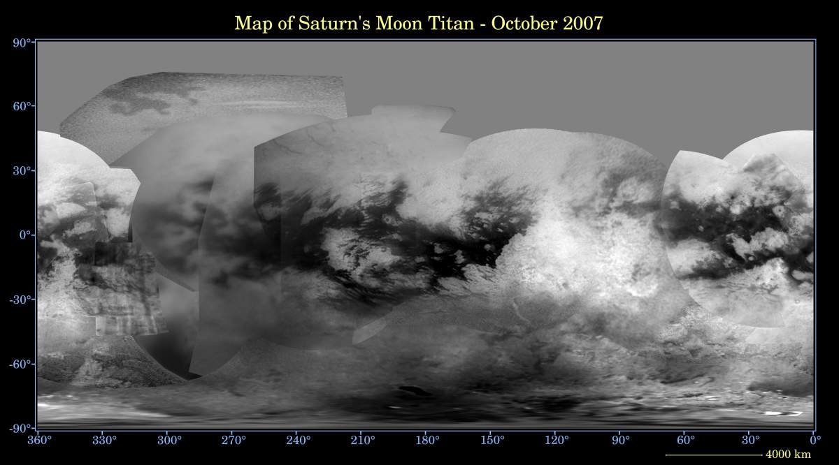
PIA08399: Map of Titan - October 2007
|

PIA08188: Titan on the Side
|
PIA06204: Scrutinizing Titan's Surface
|
Page 7 de 10