

Galerie de photos de Europe, satellite galiléen de la planète Jupiter
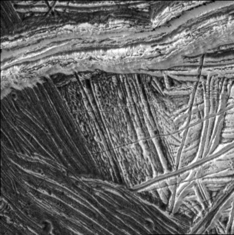
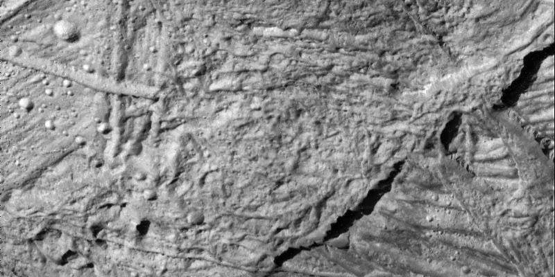
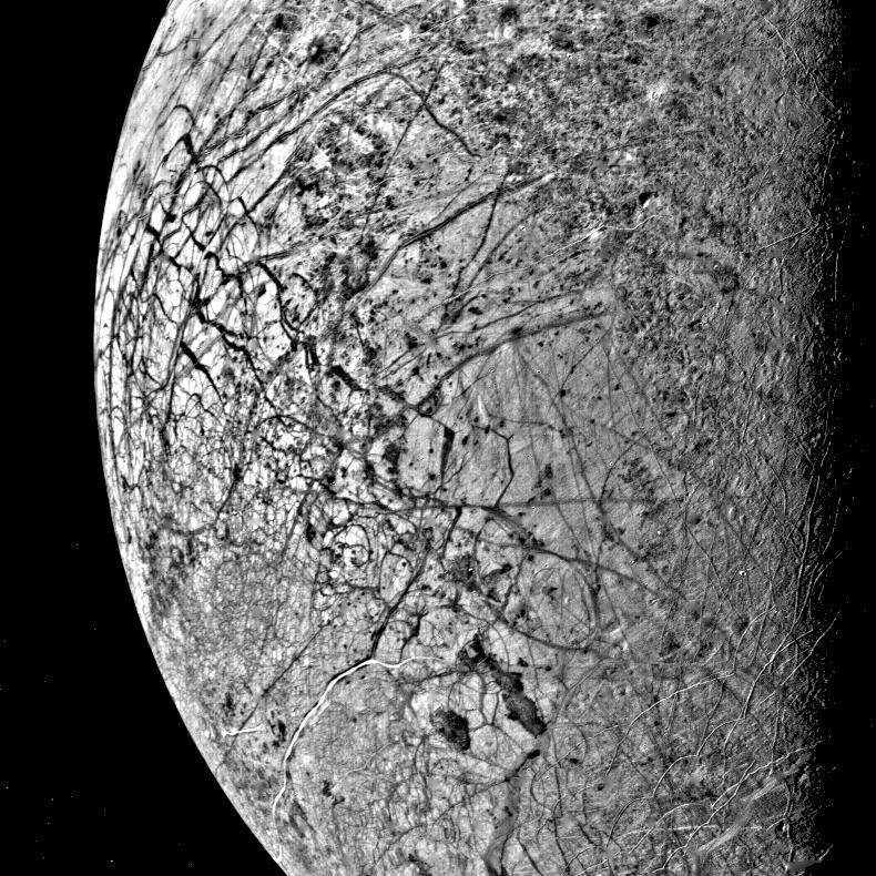
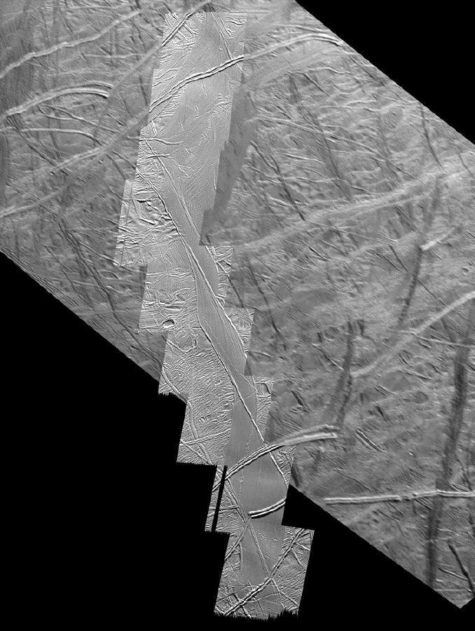
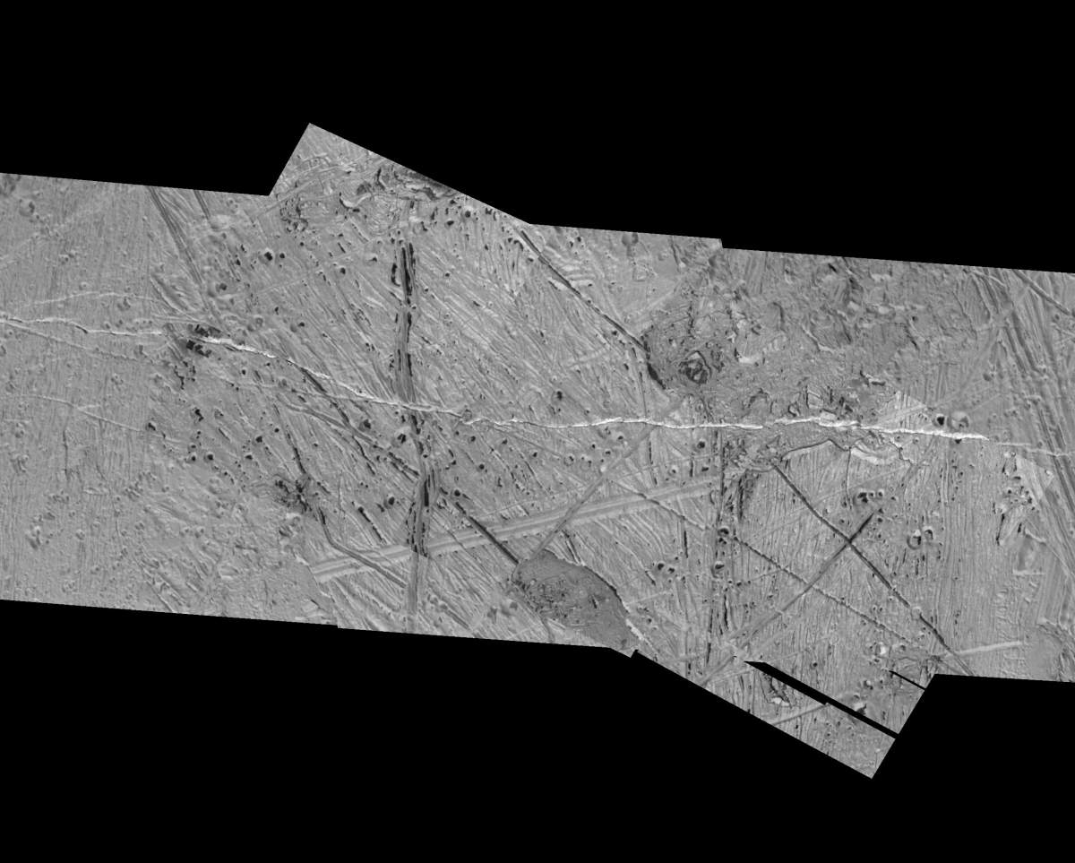
PIA01183: Europa Wedge Region
|
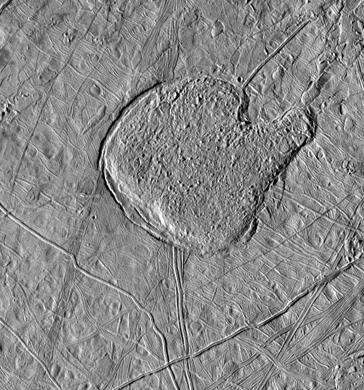
PIA01211: Pwyll Crater on Europa
|
PIA01212: Near-Terminator Image of Europa
|
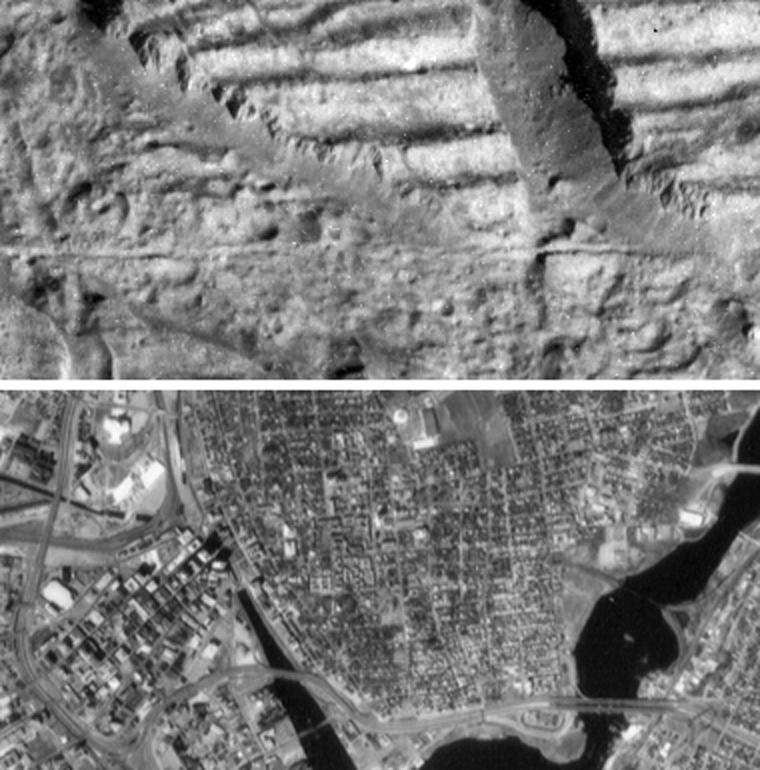
PIA01216: Very High Resolution Image of Icy Cliffs on Europa and Similar Scales on Earth (Providence, RI)
|
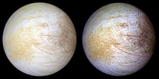
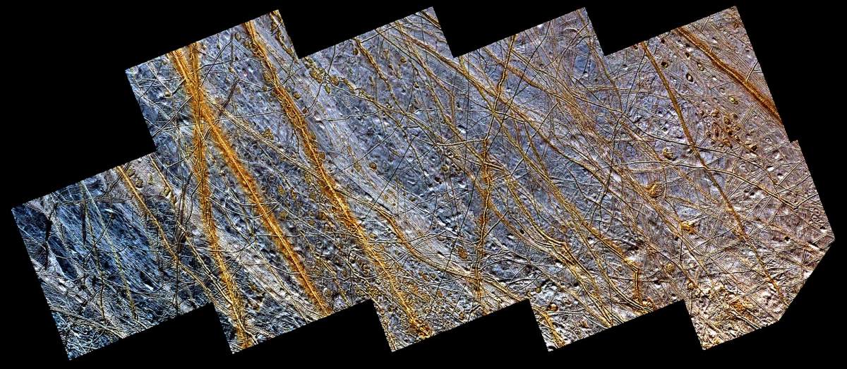
PIA01295: Europa Global Views in Natural and Enhanced Colors
|
PIA01296: Europa "Ice Rafts" in Local and Color Context
|
PIA01401: Scrambled Ice
|
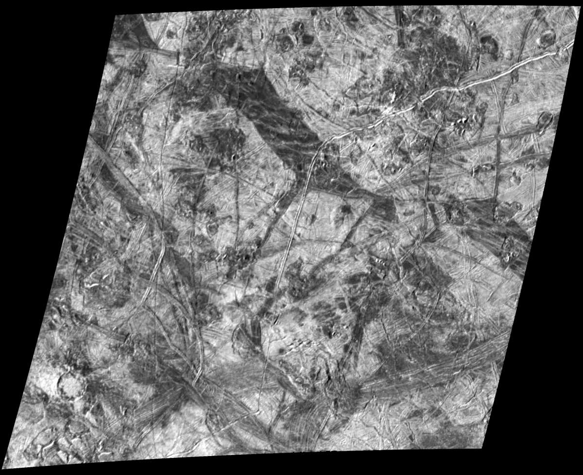
PIA01403: A closer look at Chaos on Europa
|
PIA01404: Small Craters on Europa
|
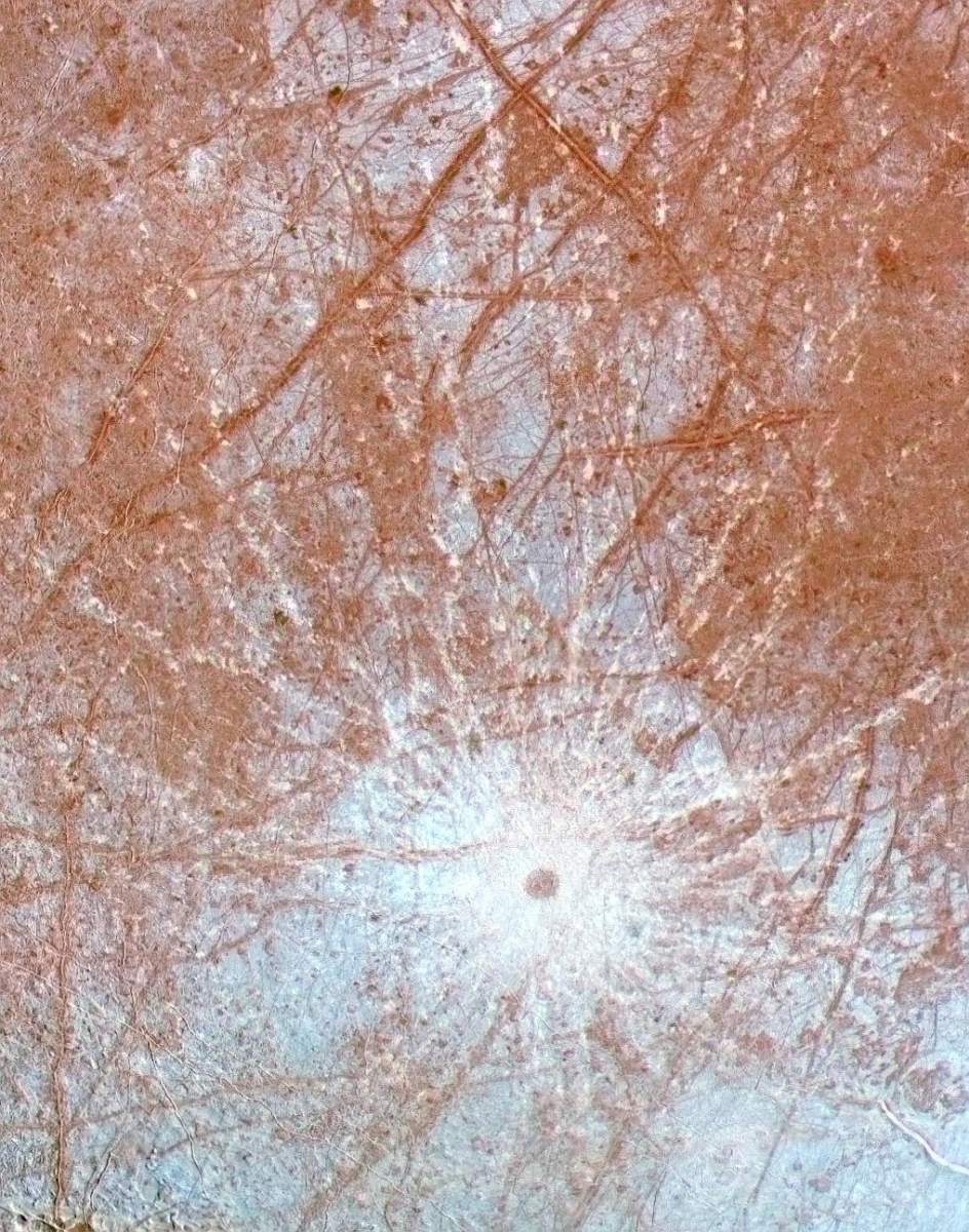
PIA01405: A Dark Spot on Europa
|
PIA01406: Topography within Europa's Mannann'an crater
|
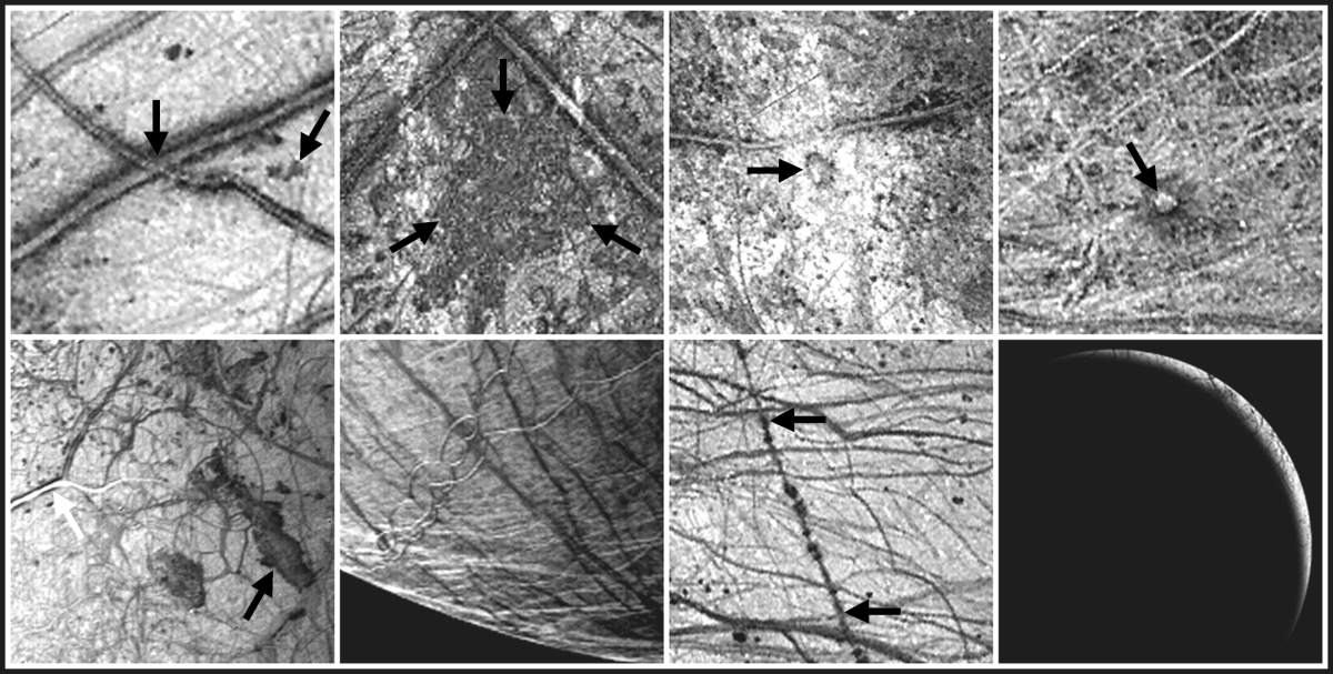
PIA01407: Europa Imaging Highlights during GEM
|
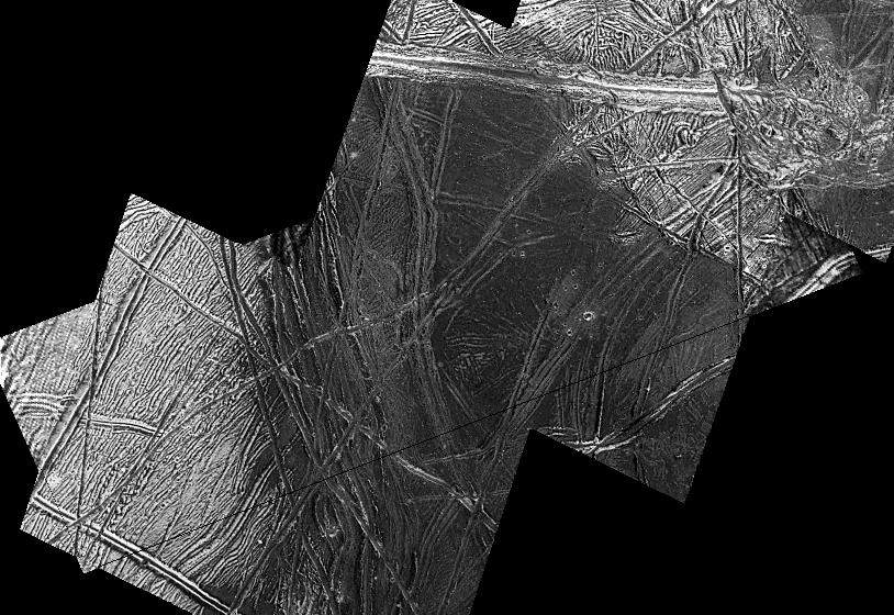
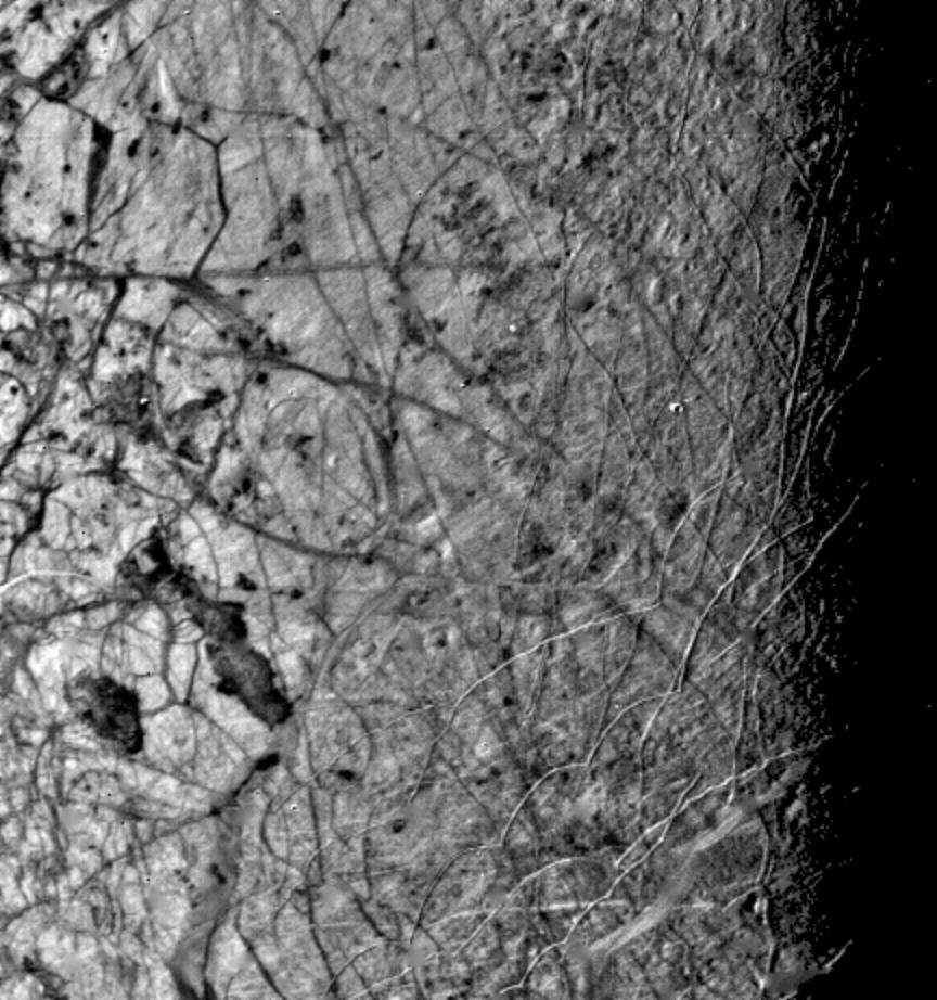
PIA01503: Europa's Fractured Surface
|
PIA01504: Europa's Evening Terminator
|
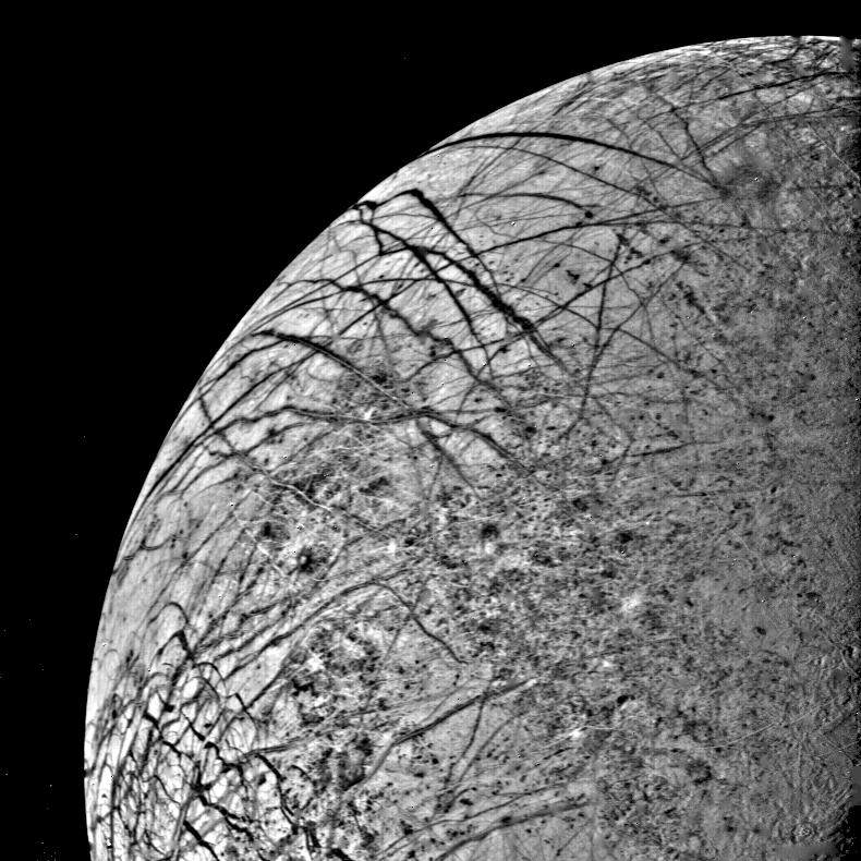
PIA01523: Europa Linear Features from 246,000 kilometers
|
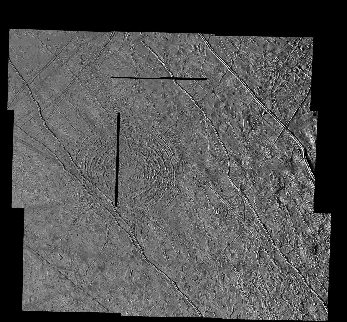
PIA01633: The Tyre multi-ring Structure on Europa
|
PIA01640: Mitten shaped region of Chaotic Terrain on Europa
|
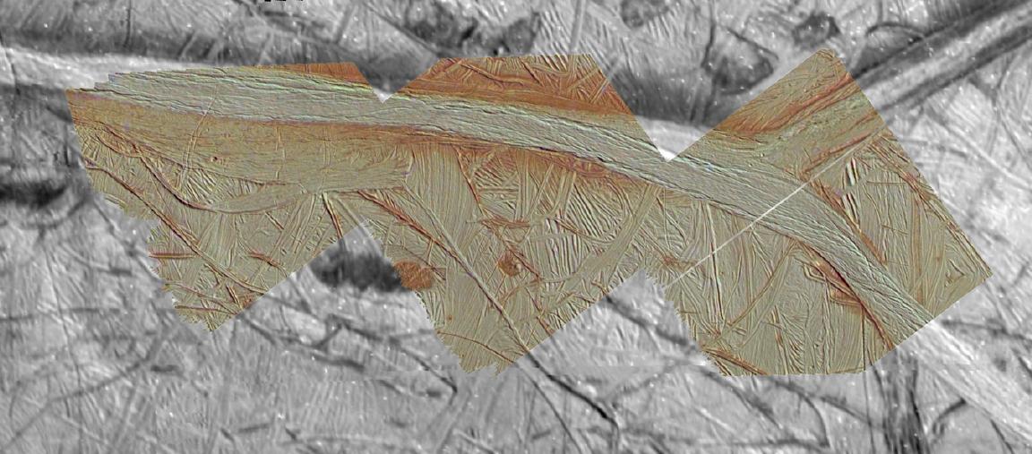
PIA01641: Double Ridges, Dark Spots, and Smooth Icy Plains on Europa
|
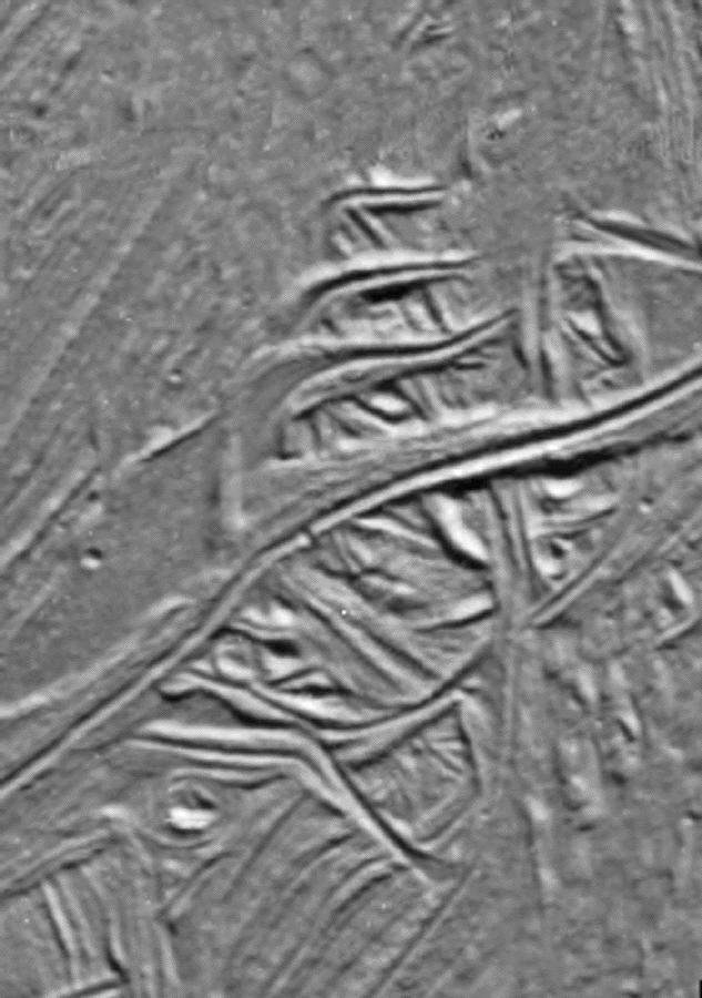
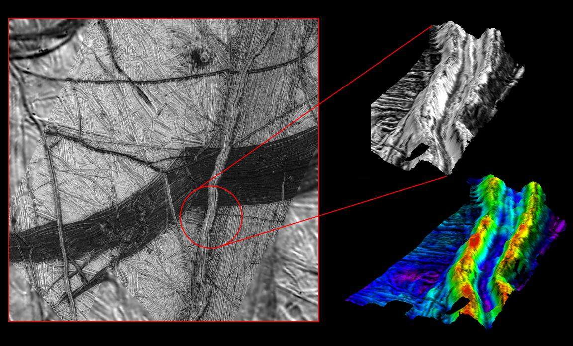
PIA01642: Cracks and Ridges Distorted by Europan Fault Motion
|
PIA01643: A Record of Crustal Movement on Europa
|
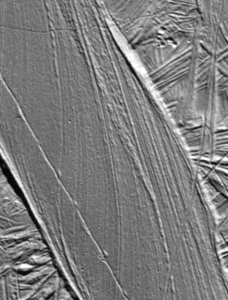
PIA01644: San Andreas-sized Strike-slip Fault on Europa
|
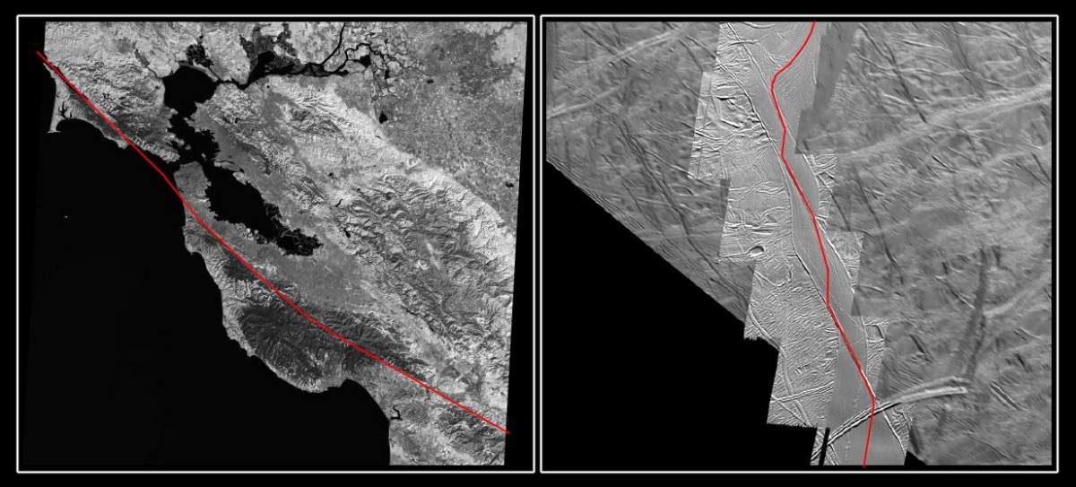
PIA01645: The San Andreas Fault and a Strike-slip Fault on Europa
|
PIA01646: Agenor Linea at High Resolution
|
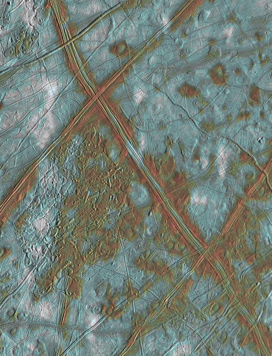
PIA01647: Agenor Linea in Color
|
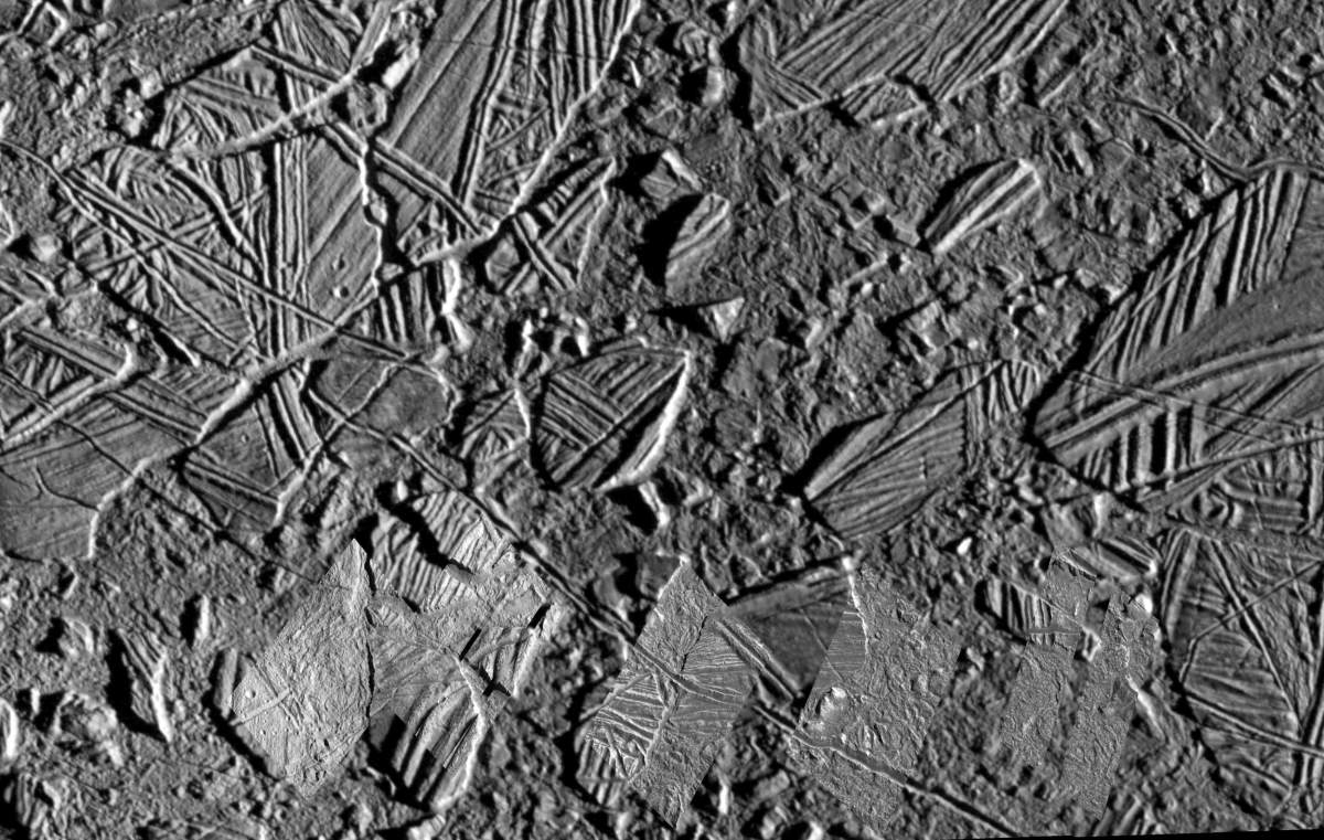
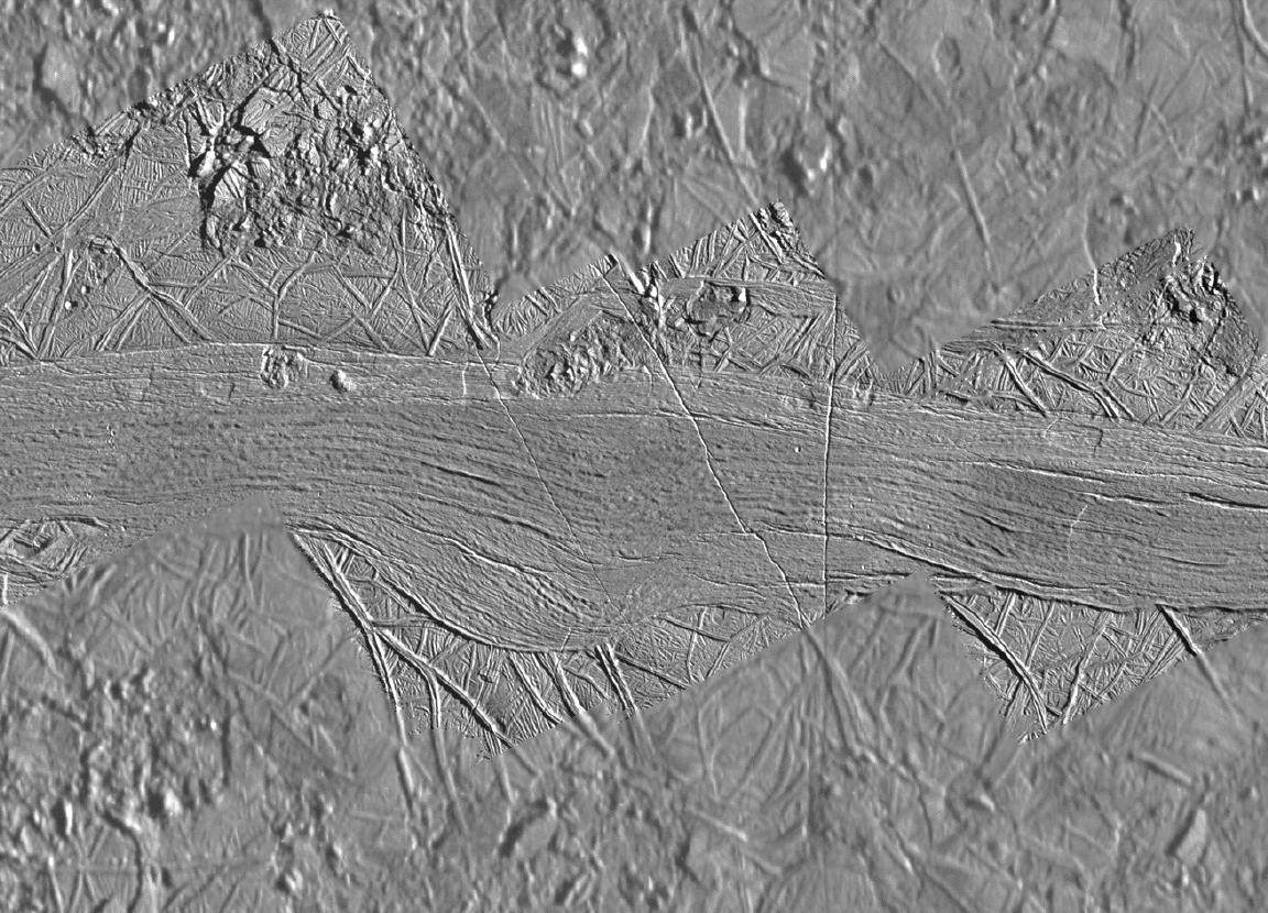
PIA01653: Rugged Terrain on Europa
|
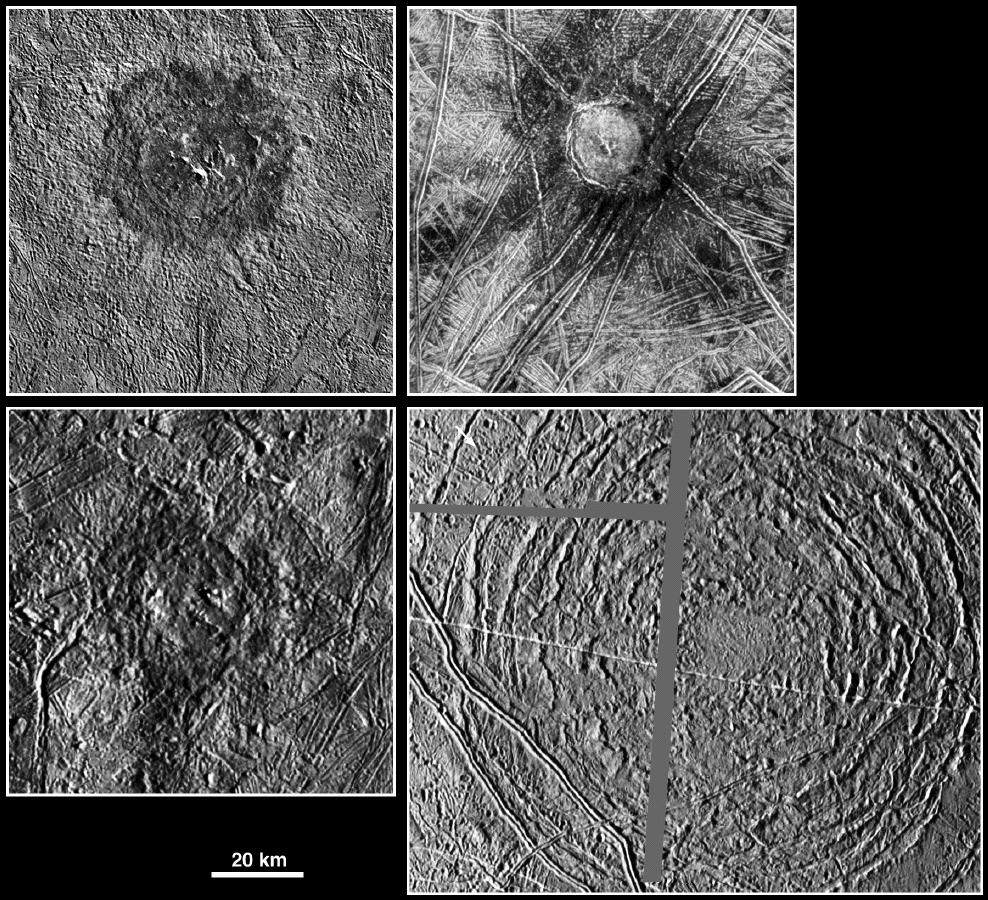
PIA01661: Large Impact Structures on Europa
|
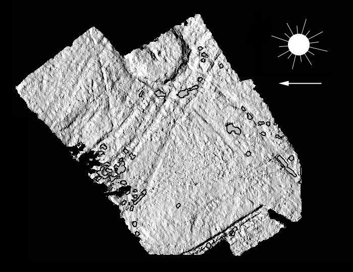
PIA01662: Topography around Europa's Cilix crater
|
PIA01664: Three dimensional view of Double Ridges on Europa
|
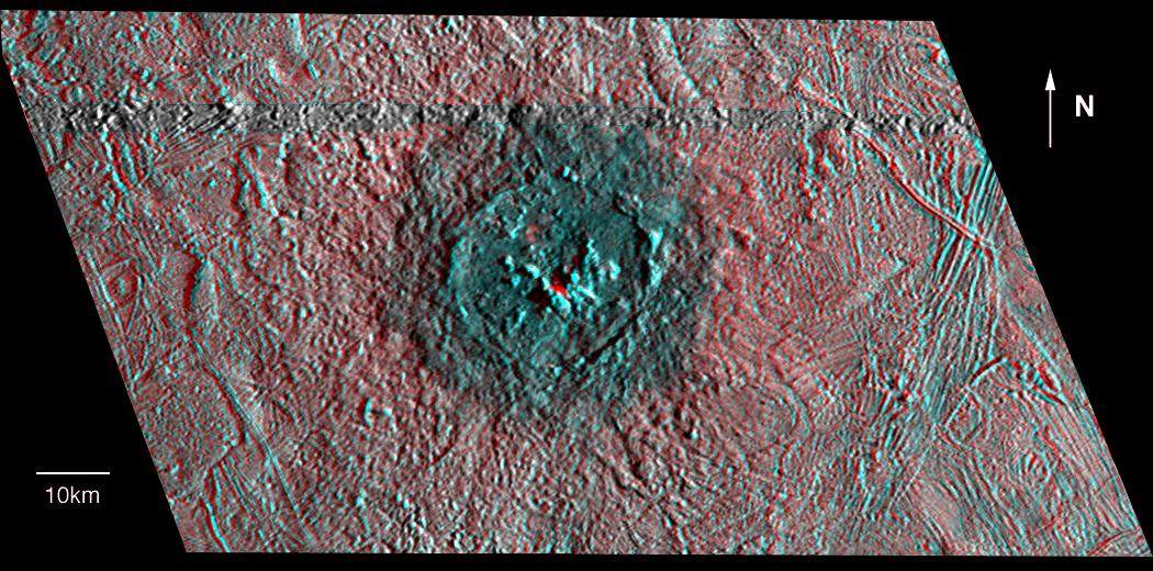
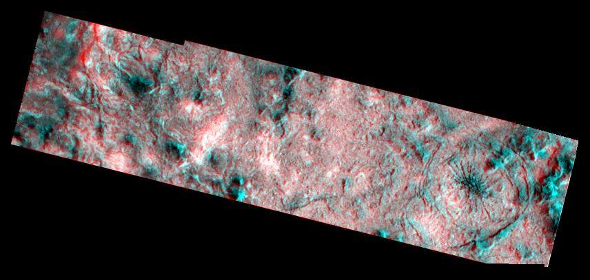
PIA01665: Red-Blue Three dimensional view of Pwyll crater
|
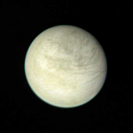
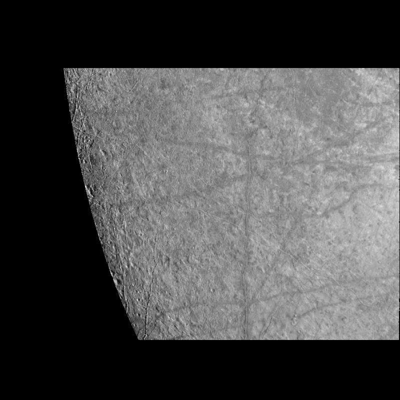
PIA01970: Europa from 2,869,252 kilometers
|
Page 3 de 4