

Galerie de photos de Europe, satellite galiléen de la planète Jupiter
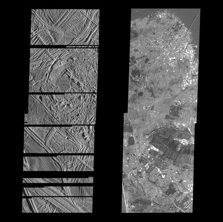
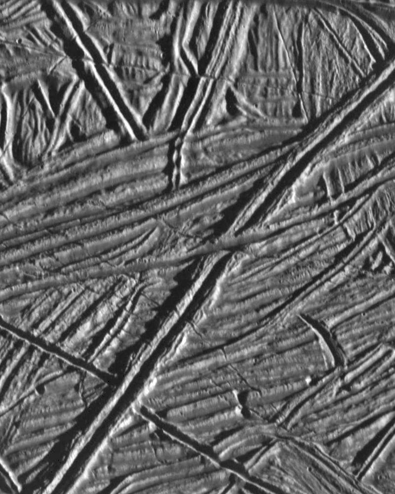
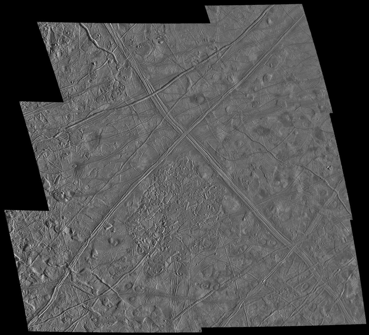
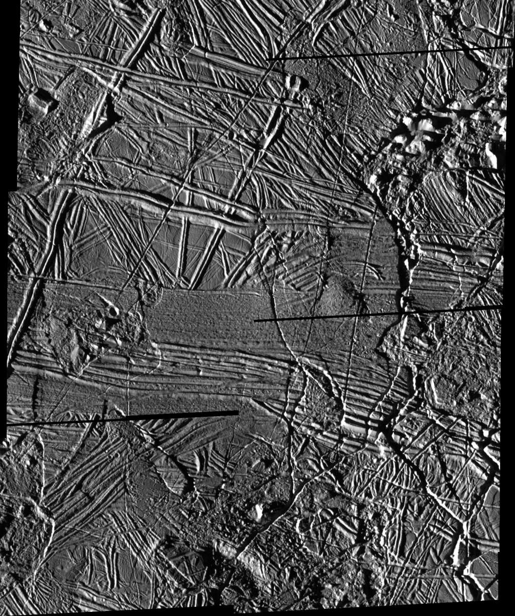
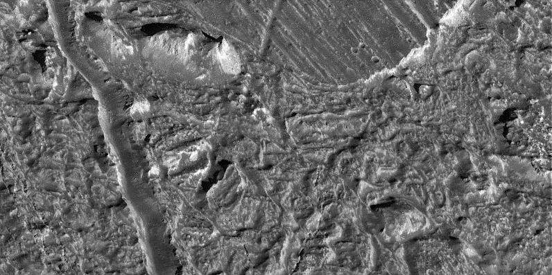
PIA00598: Structurally Complex Surface of Europa and similar scales on Earth
|
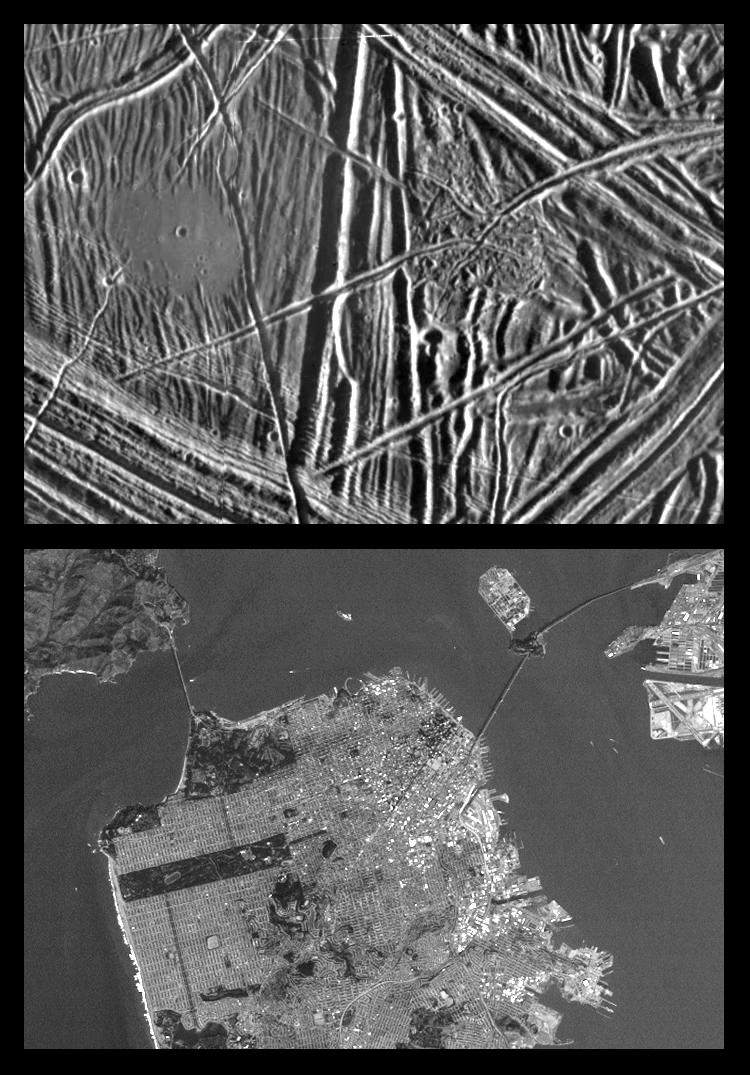
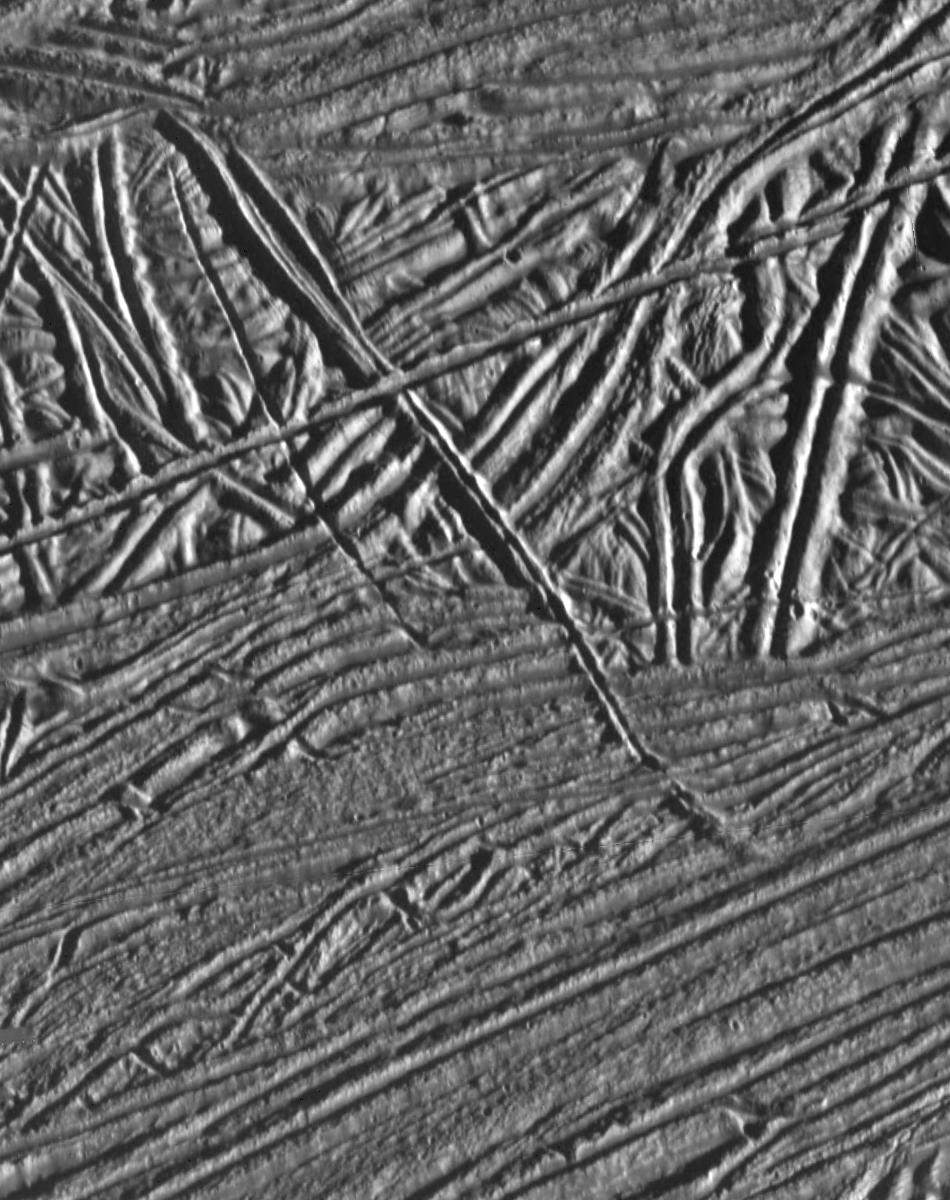
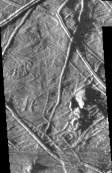
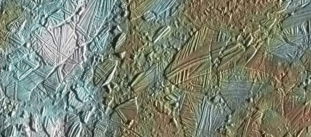
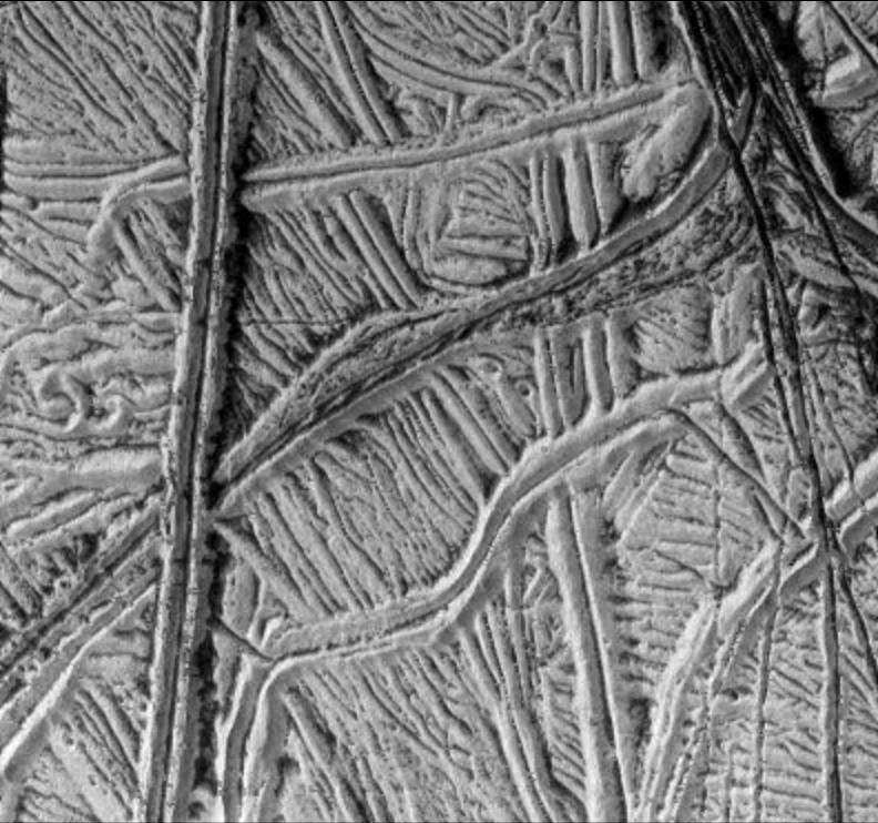
PIA00599: Close-up of Europa's Surface and similar scales on Earth
|
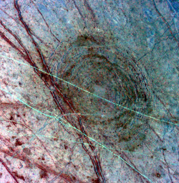
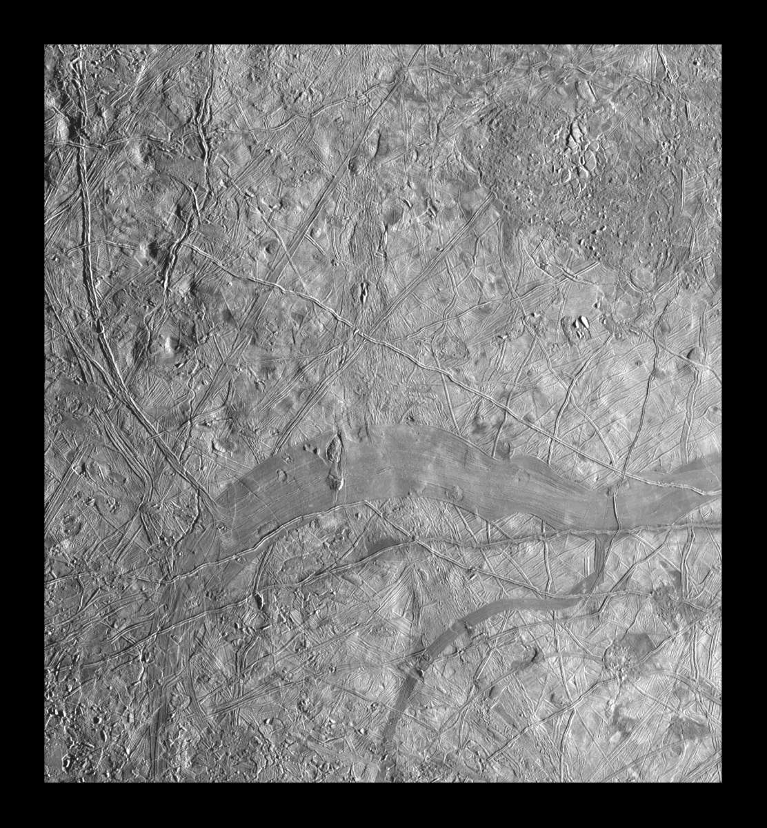
PIA00702: Ancient Impact Basin on Europa
|
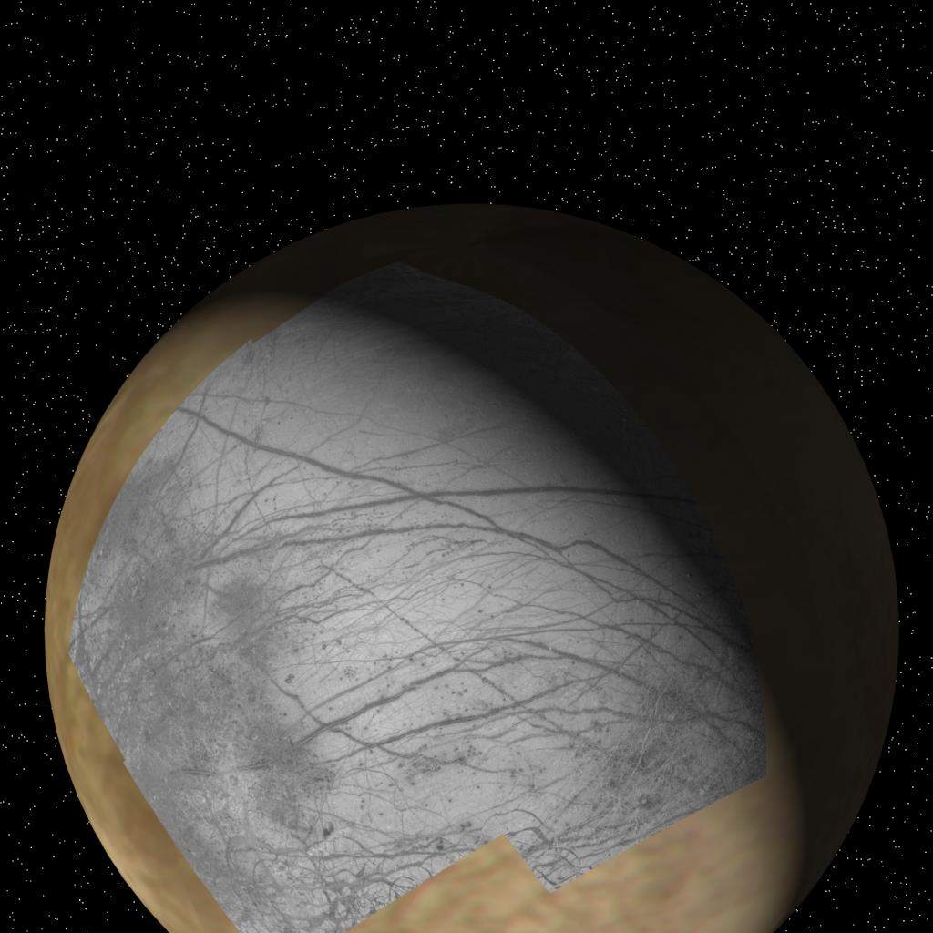
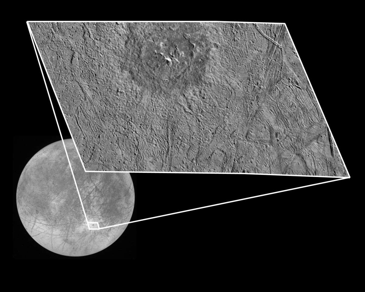
PIA00723: Context of Europa images from Galileo
|
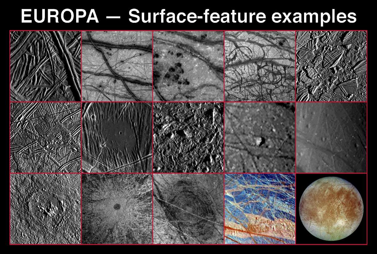
PIA00746: Various Landscapes and Features on Europa
|
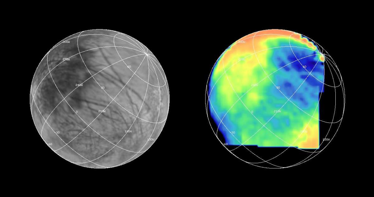
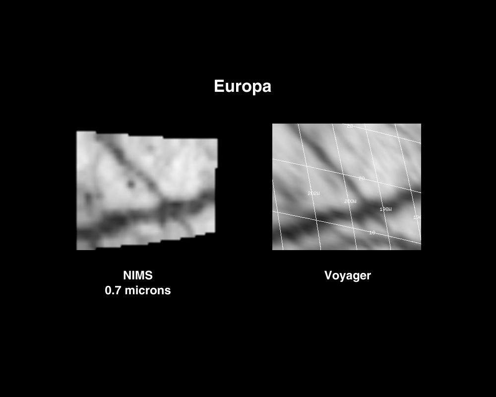
PIA00834: NIMS G1 Observation of Europa
|
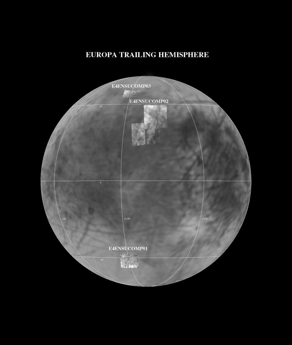
PIA00846: NIMS E4 Observations of Europa Trailing Hemisphere
|
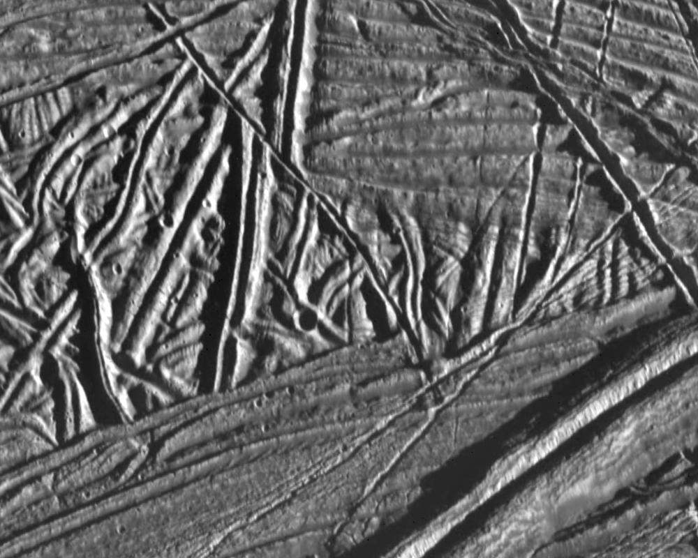
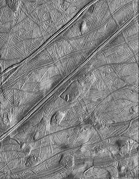
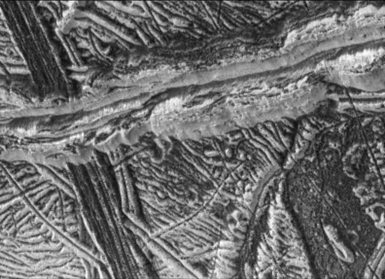
PIA00849: Ridges and Fractures on Europa
|
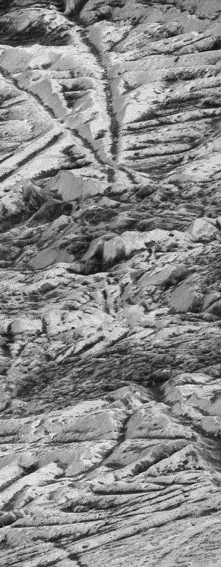
PIA00850: Europa Under Stress
|
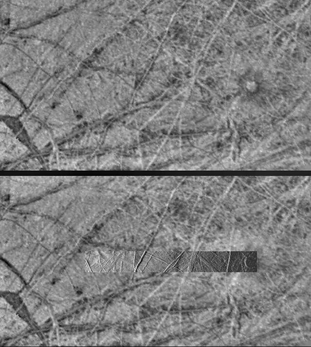
PIA00851: Cross-cutting Relationships of Surface Features on Europa
|
PIA00852: Dome shaped features on Europa's surface
|
PIA00853: Europa 6th Orbit NIMS Data
|
PIA00874: Europa's Leading Hemisphere
|
PIA00875: Thera and Thrace Macula on Europa
|
PIA00877: Agenor Linea on Europa
|
PIA01084: Flow-like Features On Europa
|
PIA01092: Geologic Evidence of Internal Activity on Europa
|
PIA01101: Topography on Europa....the Shadow knows
|
PIA01102: Terrain on Europa under Changing Lighting Conditions
|
PIA01125: Regional Mosaic of Chaos and Gray Band on Europa
|
PIA01126: High Resolution Mosaic of Ridges, Plains, and Mountains on Europa
|
PIA01127: Europa - Ice Rafting View
|
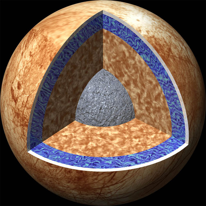
PIA01130: Interior of Europa
|
PIA01176: Europa's Pwyll Crater
|
PIA01177: Chaotic Terrain on Europa in Very High Resolution
|
PIA01178: High-Resolution Image of Europa's Ridged Plains
|
PIA01179: Dark and Bright Ridges on Europa
|
PIA01180: Highest Resolution Image of Europa
|
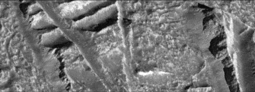
PIA01181: Europa Ice Cliffs-High Resolution
|
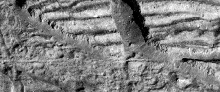
PIA01182: Very High Resolution Image of Icy Cliffs on Europa
|
Page 2 de 4