

Galerie de photos de Titan, satellite de la planète Saturne

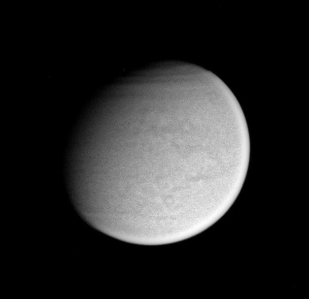
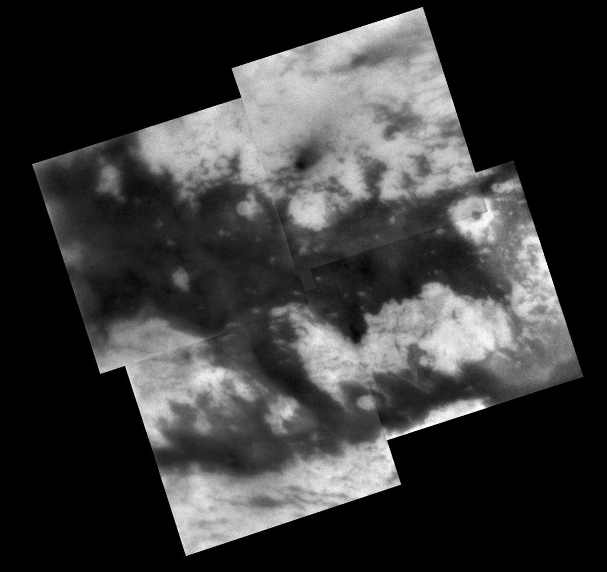
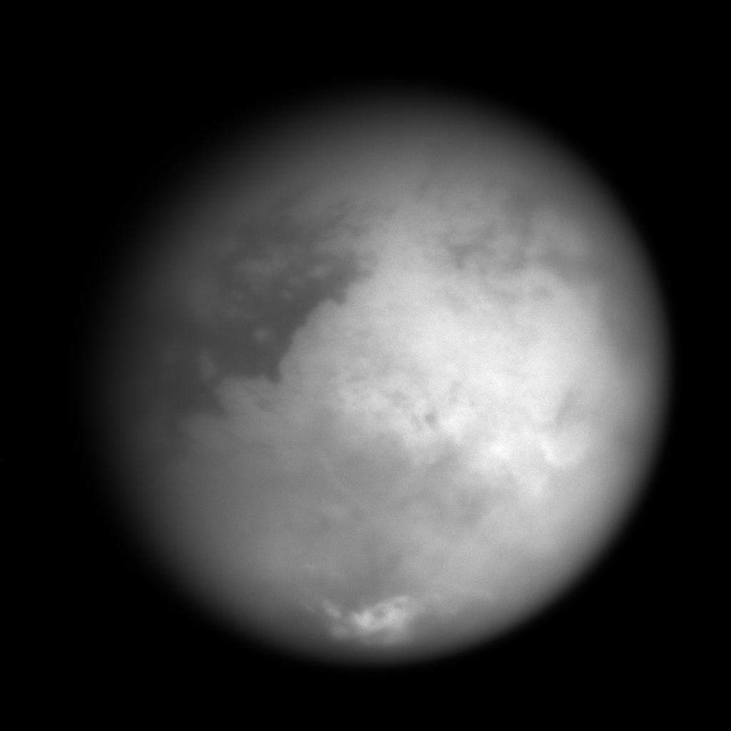
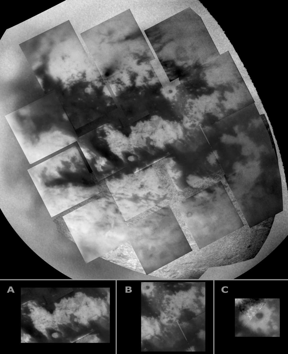
PIA06157: Close Up on Titan's Mid-Latitude Clouds
|
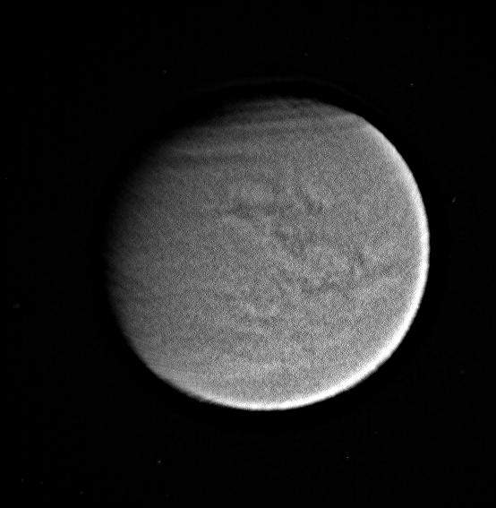
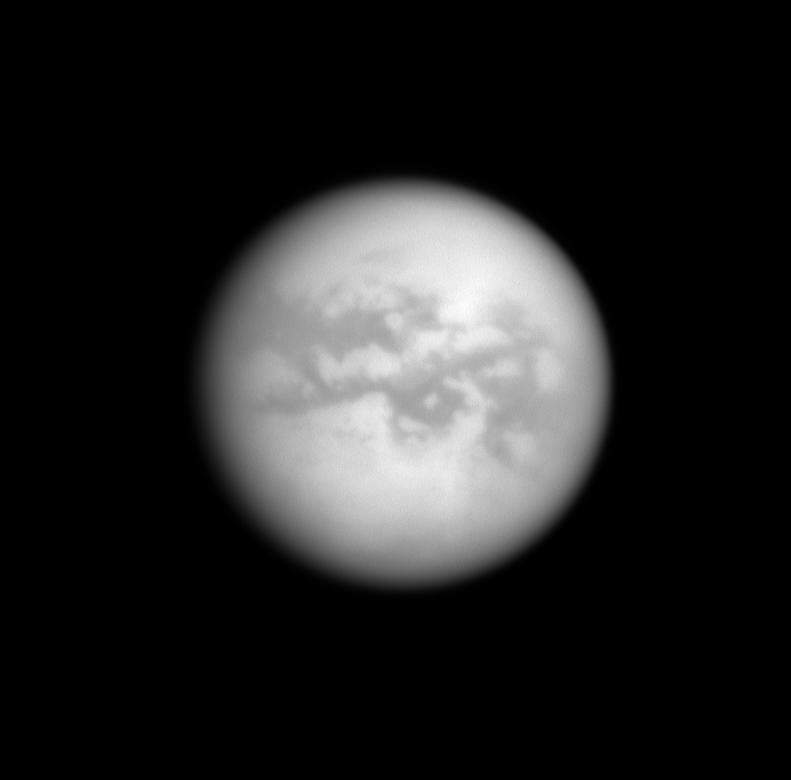
PIA08204: From Cloudy to Clear
|
PIA06240: Land of Lakes?
|
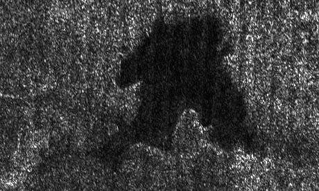
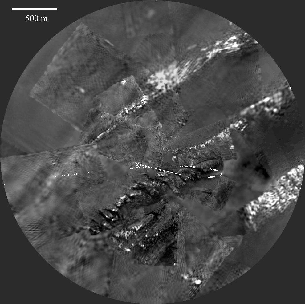
PIA06995: Follow the Arrow
|
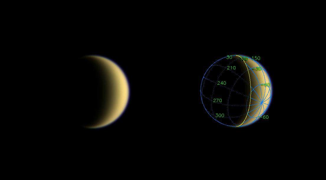
PIA08113: Mercator Projection of Huygens's View
|
PIA06621: Titan's Mask
|
PIA06186: A Clear View of Titan's Surface
|
PIA08741: Shorefront Property, Anyone?
|
PIA08221: Titan's Kiss
|
PIA07732: Monitoring "Fensal-Aztlan"
|
PIA06172: Go Huygens!
|
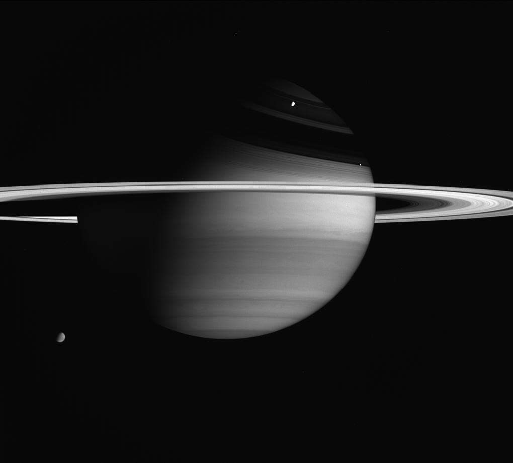
PIA06604: Fantastic Planet
|
PIA08925: Northern View
|
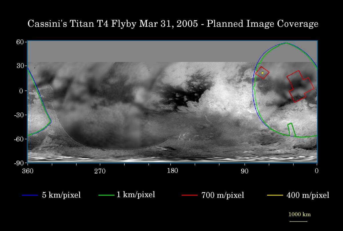
PIA06219: Cassinis T4 Flyby
|
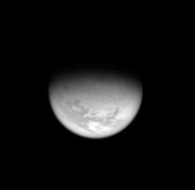
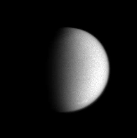
PIA06087: Receding Titan
|
PIA06109: Titan's Mottled Surface
|
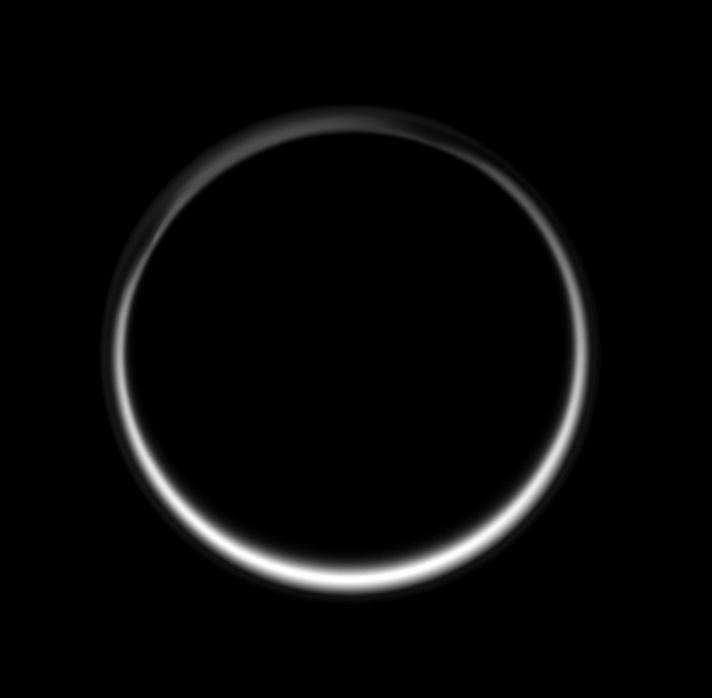
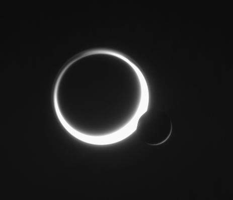
PIA09007: Ring of Twilight
|
PIA06107: Eyes on Xanadu
|
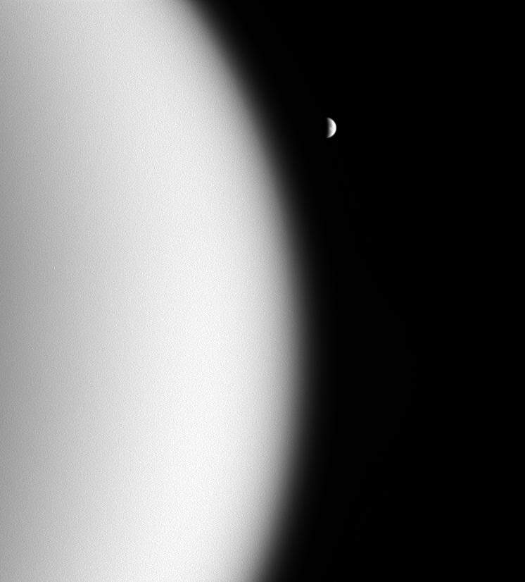
PIA10514: Saturn's View of Titan
|
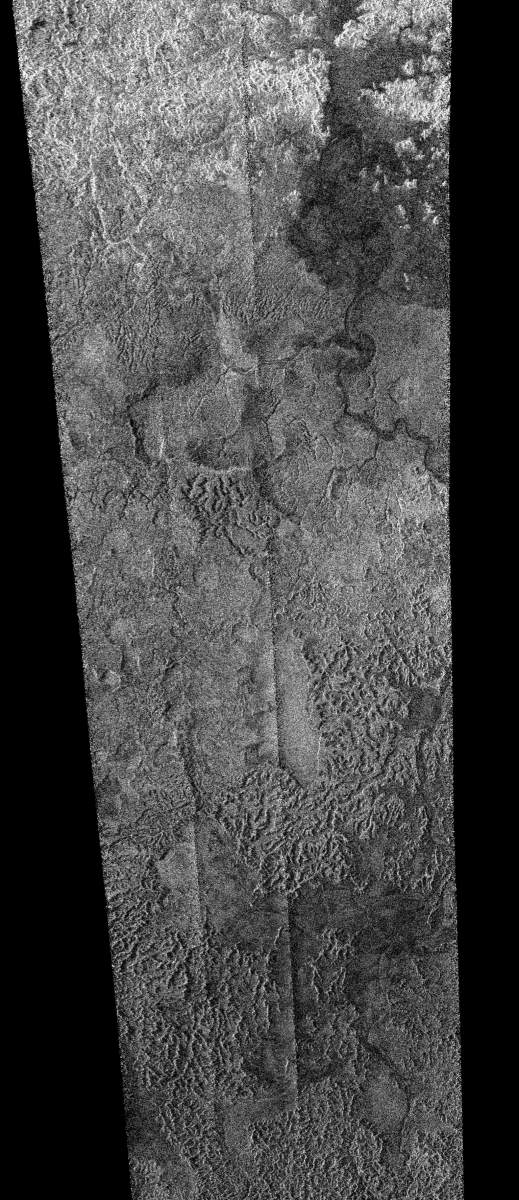
PIA09180: Titan: Larger and Larger Lakes
|
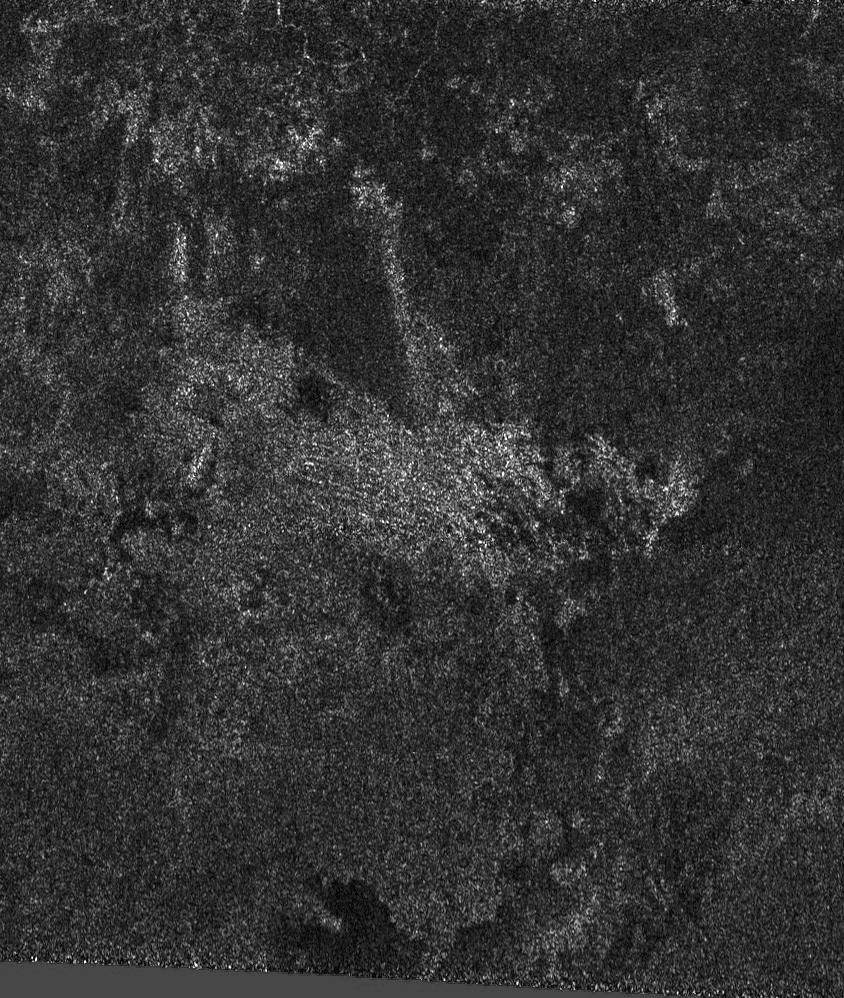
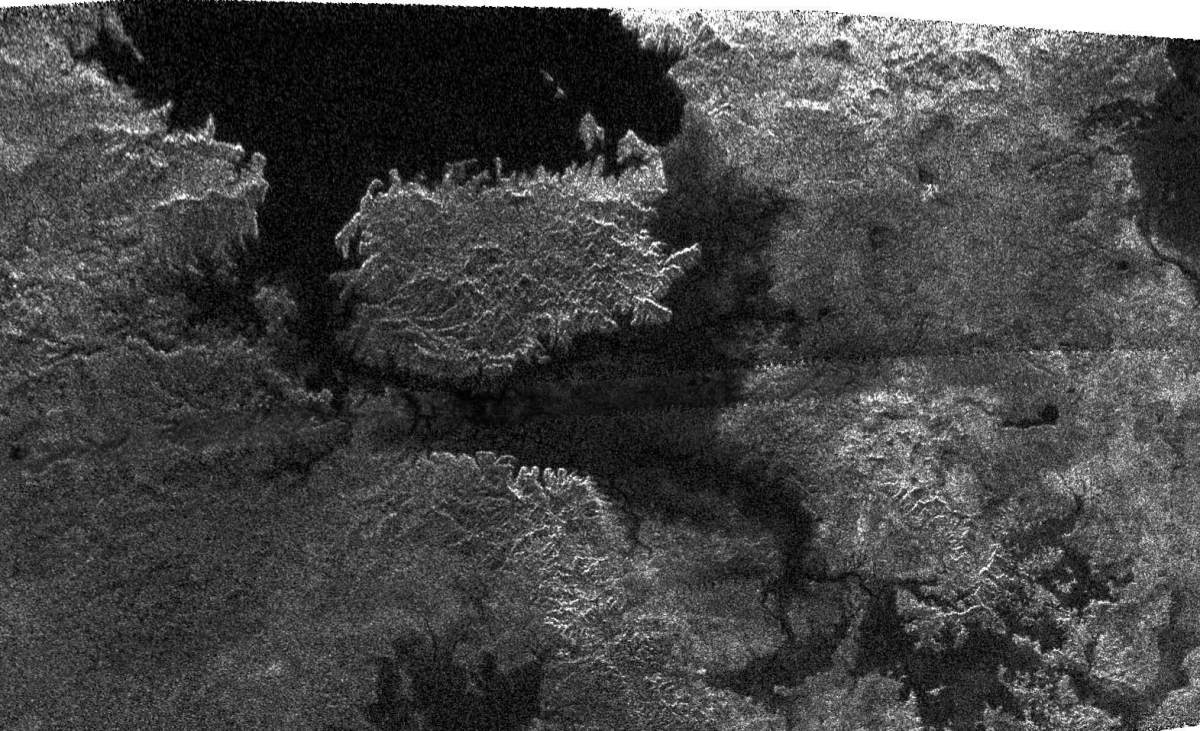
PIA10219: Flowing Liquids on Titan
|
PIA06089: Hazy All Over
|
PIA06439: Titan's Surface #2
|

PIA02146: An Infrared Movie of Titan
|
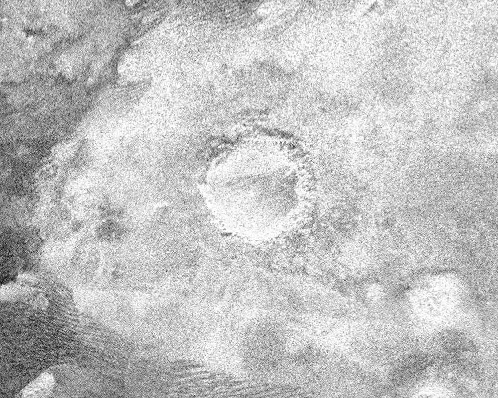
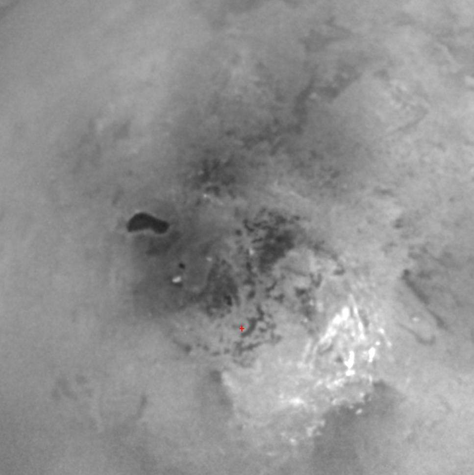
PIA07368: Impact Crater with Ejecta Blanket
|
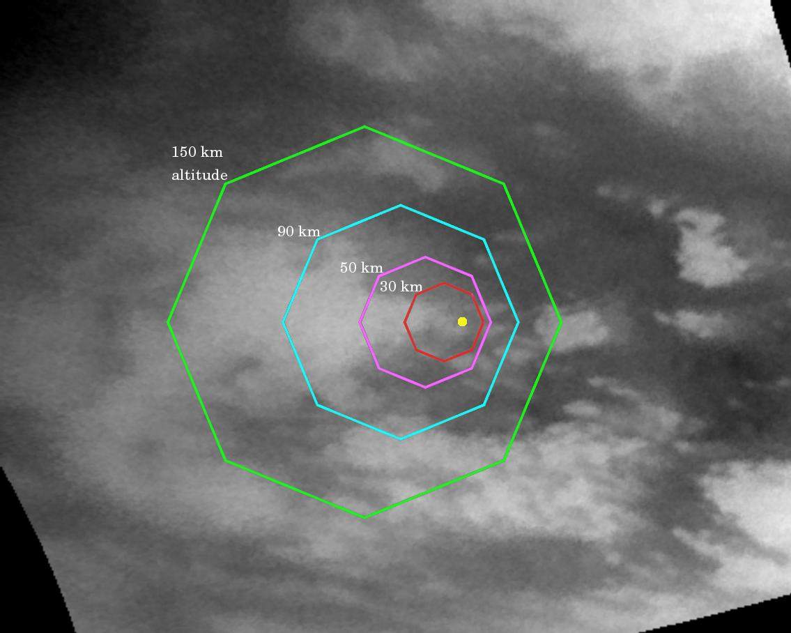
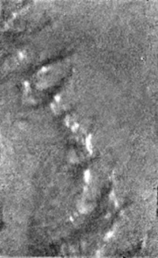
PIA07597: Faint Southern Clouds
|
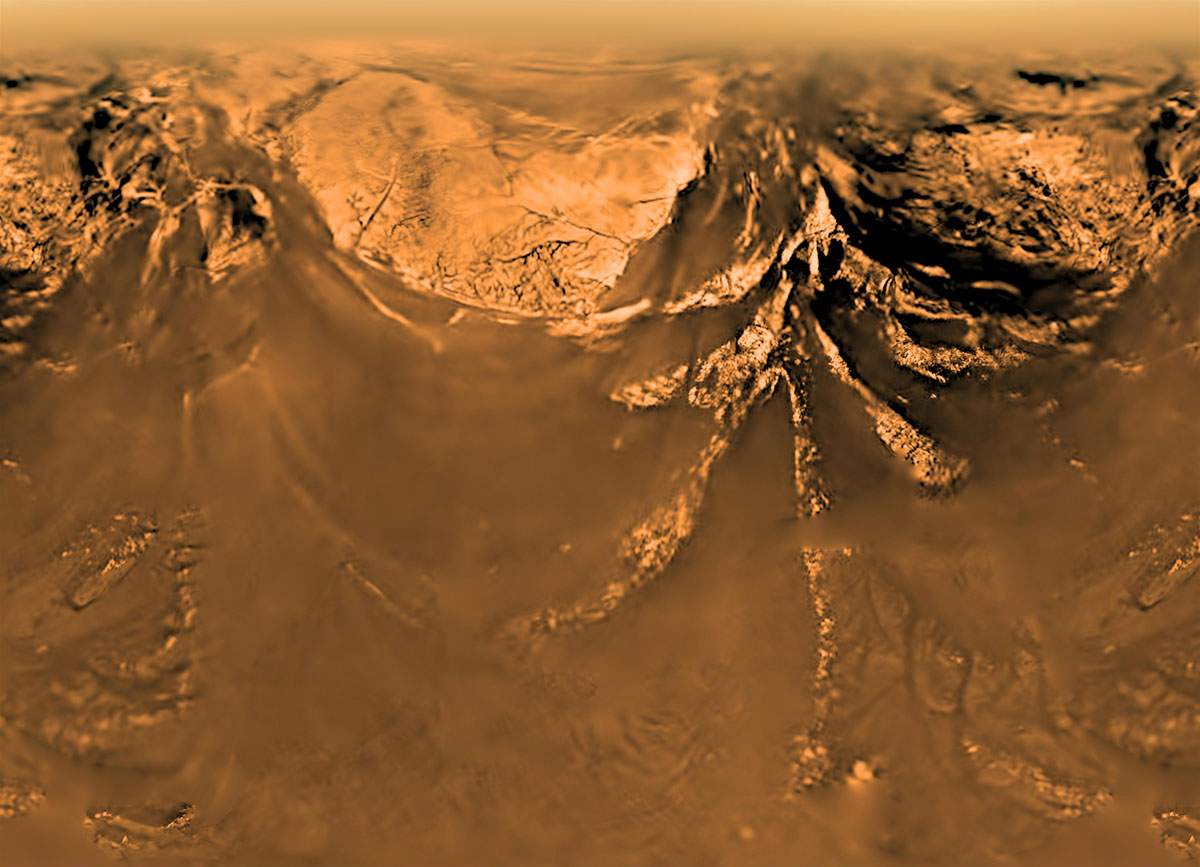
PIA07230: Composite of Titan's Surface Seen During Descent
|
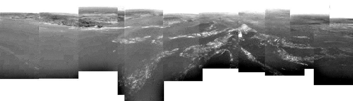
PIA06222: Titan Mosaic -- East of Xanadu
|

PIA08448: Titan's Land-o-Lakes
|
PIA07237: 'Islands' on a Dark Plain
|
Page 3 de 10
- « Première
- Précédente
- 1
- 2
- 3
- 4
- 5
- 6
- 7
- Suivante
- Dernière »